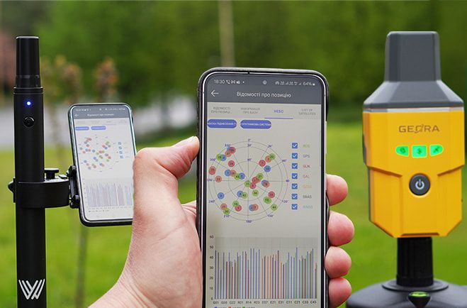
Modern GNSS RTK measurements are not only about the nominal accuracy “down to a centimeter.” In real field conditions, the decisive factors are receiver performance, RTK fix acquisition speed, stability when operating over long distances, and the ability to adapt to complex infrastructure conditions. This is exactly where Walker 2 IMU demonstrates advantages that were previously associated only with large and expensive professional systems.
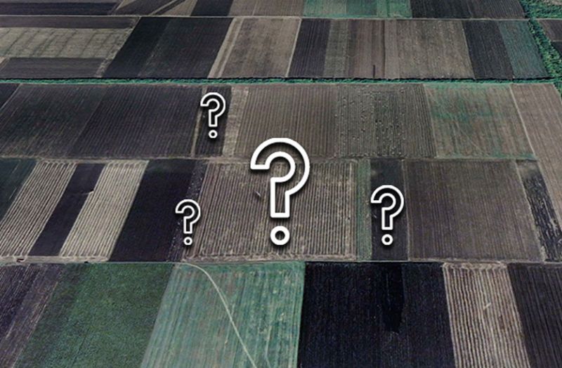
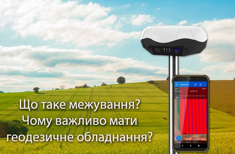
For farmers, land is not just a resource — it is the foundation of the business. At the same time, land-related issues create some of the most frequent and costly challenges in everyday operations: disputes with neighbors, fragmented parcels, inaccurate area calculations, record-keeping errors, and direct financial losses. Agricultural enterprises constantly bring new land into production — individual land shares and plots — sign lease agreements, and restructure field layouts. In every one of these processes, it is critically important to know the exact boundaries of the land that is actually being cultivated.
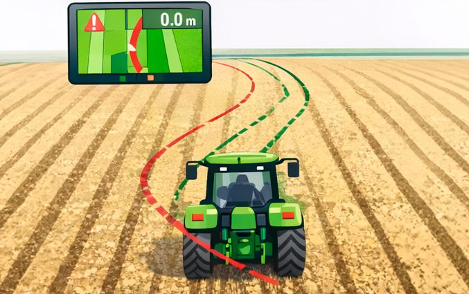
The 1–1.5 meter drift you see in the field is not a "crooked field" and it’s usually not the operator’s fault. In most cases, the cause is the limitations of entry-level GNSS hardware and unstable heading determination.
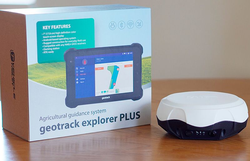
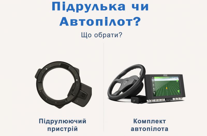
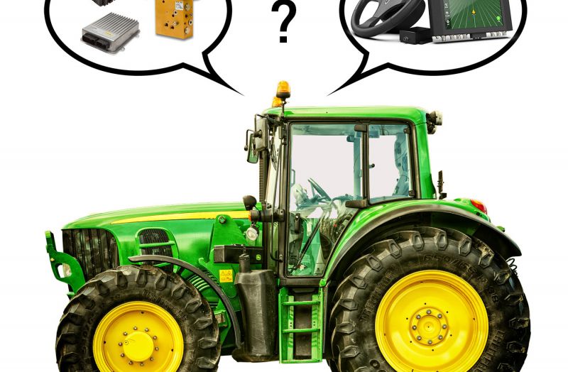
Modern agriculture demands precision, efficiency, and cost reduction. That’s why more and more farmers are choosing parallel driving systems for tractors. But which system is right for you?
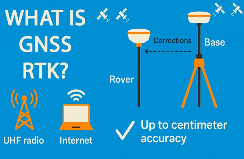
In most descriptions of GNSS RTK, the phrase "accuracy up to 2.5 cm" often appears. This is true — but not the whole story. In reality, GNSS RTK can operate with millimeter-level accuracy if the system is set up properly. In this article, we briefly explain what RTK is and why its accuracy depends on many factors.
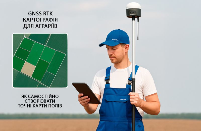
GNSS RTK technology (Real-Time Kinematic) is no longer limited to geodetic work. Today, it is actively used in agriculture — farmers apply RTK receivers to create accurate digital field boundaries, define parcel limits, perform internal zoning based on soil types or crop varieties, and conduct comprehensive agro-analysis. These solutions allow farmers to collect centimeter-accurate data and efficiently manage every hectare.
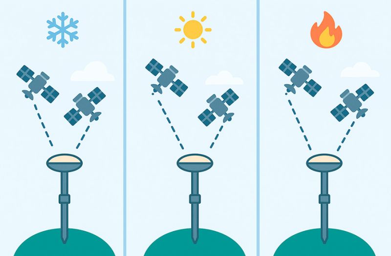
When using GNSS receivers in surveying, agriculture, or navigation, you may often hear the terms "cold start," "warm start", and "hot start". What do they mean and how do they affect your work? Here's a simple explanation.
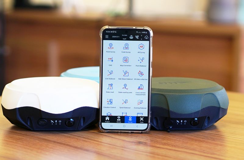
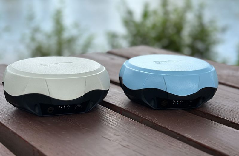
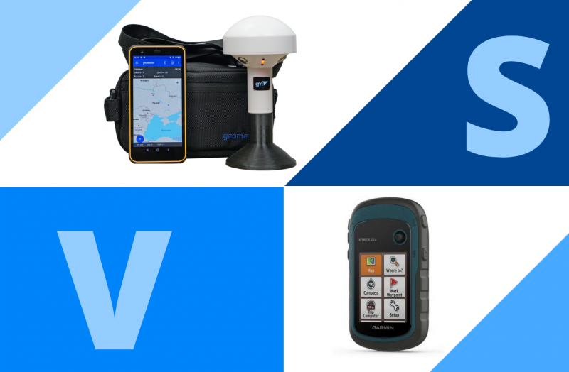
Both devices are reliable, high-precision tools widely used for surveying, agricultural navigation, and other geospatial applications.
The problem of unclear land boundaries is a significant threat to farmers, as it leads to conflicts and yield loss.
The SurPad 4.2 program is deservedly considered one of the most popular and affordable software solutions for geodetic research. Thanks to its wide range of functional capabilities and versatility, it is used by both professionals and newcomers in the field of geodesy. Let’s take a closer look at what makes this program unique and why it is an excellent choice for solving geodetic tasks.
For over 15 years, Geometer has been a trusted supplier of high-precision GNSS solutions for land surveying, precision agriculture, and other industries. We aim to create products that perfectly meet our clients’ needs, ensuring the optimal balance of price and functionality.
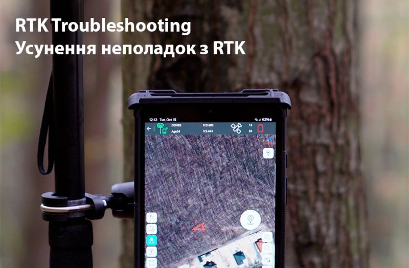
GNSS RTK (Real-Time Kinematic) technology enables high-precision positioning using GNSS receivers, making it indispensable in many fields such as agriculture, surveying, construction, and other areas where centimeter-level accuracy is crucial. However, sometimes during the RTK setup process, issues may arise: the receiver may not switch from DGNSS to RTK mode, or corrections may not be received properly.
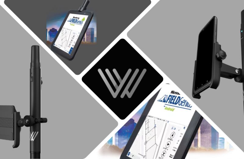
Modern geodetic tasks can be significantly simplified through the use of devices based on the Android platform. Special attention should be given to tablets, which, unlike phones, offer several important advantages.
DSM Stakeout (Digital Surface Model Stakeout) is a process related to surveying and construction, in which digital surface models (DSM) are used to perform stakeout in the field. This method allows surveyors or builders to accurately set point coordinates on-site according to a pre-created digital surface model, which includes all objects on the ground, such as buildings, trees, bridges, and other elements.
In modern agriculture, it is crucial for every farmer to quickly and accurately measure land plots. This task is especially relevant when hiring contractors for fieldwork since calculations are based on the processed areas in hectares.
The use of GNSS RTK technology in the agricultural sector enables the implementation of modern cultivation methods, optimizes machinery operations and human resources, and significantly saves fuel and other materials through automation and high precision in task execution.
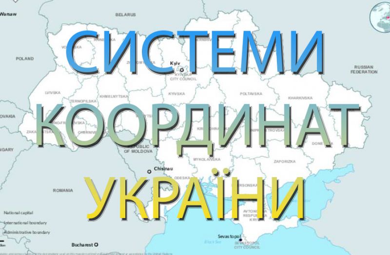
For performing surveying tasks related to working with official documentation, searching for or allocating land parcels within Ukraine’s coordinate systems (SC-63 or UCS-2000), we recommend using the geodetic CORS GNSS RTK network.
In today's agricultural business environment, where every penny counts, optimizing costs is crucial for maintaining stable growth and competitiveness. A key area that demands particular attention is land resource management, especially when it comes to acquiring new land plots and establishing boundaries through surveying work.
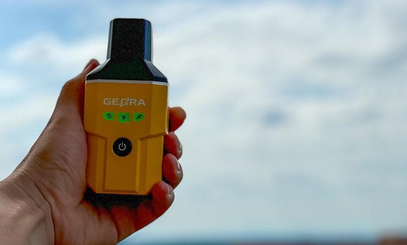
Раді повідомити про значне зниження ціни на наш мультичастотний GNSS RTK приймач GEORA. Цей високоточний прилад є незамінним інструментом для геодезичних та землевпорядних робіт, а також для будь-яких завдань, де важлива сантиметрова точність визначення координат.
Surveying allows for the precise determination of boundaries, area, and position of a plot relative to a coordinate system. The primary characteristic of a boundary is the coordinates of key points, not the length. These coordinates are determined during surveying work.
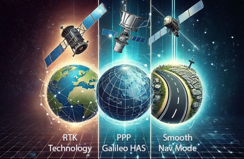
The PPP technology allows for receiving free satellite corrections directly from the European satellite system. It involves additional data transmission channels on the e6b frequency from the GALILEO satellite system. Let’s take a closer look at the GALILEO HAS satellite correction technology, which is available on all continents and provides an improvement in the accuracy of absolute coordinates up to 20 cm. We will also compare it with RTK and Smooth Mode technologies.
We are excited to announce the launch of a new interactive map of Ukrainian coordinate systems on our website.
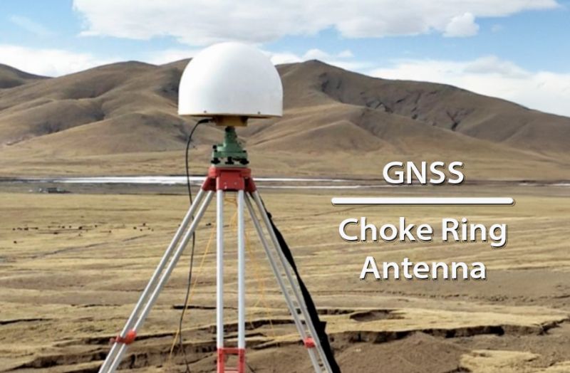
The "Choke Ring" antenna type has several key advantages, especially in the fields of geodesy and satellite navigation systems like GPS
Today, a revolution is underway, driven by technological innovations that promise not only to improve the accuracy of land measurements but also to enhance the overall efficiency and sustainability of farming practices.
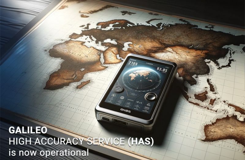
A significant milestone in the development of Galileo is the introduction of the Galileo High Accuracy Service (HAS), which offers a freely accessible service capable of providing extremely high accuracy in location determination - up to a few centimeters.
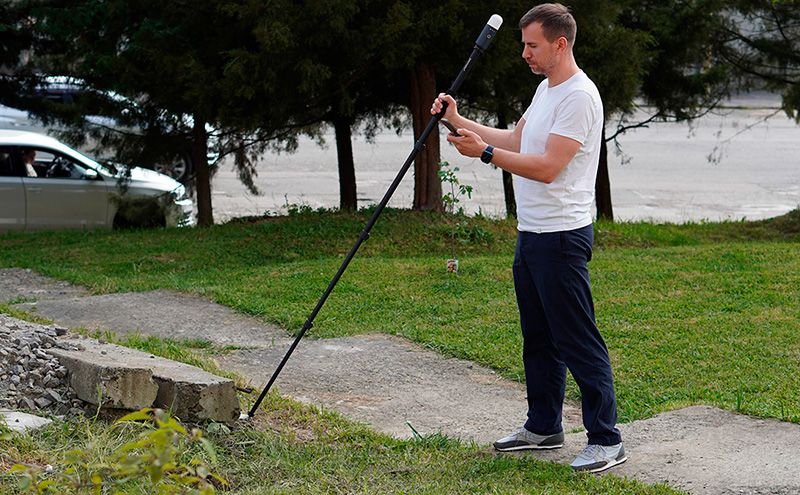
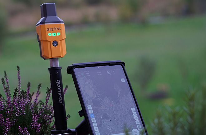
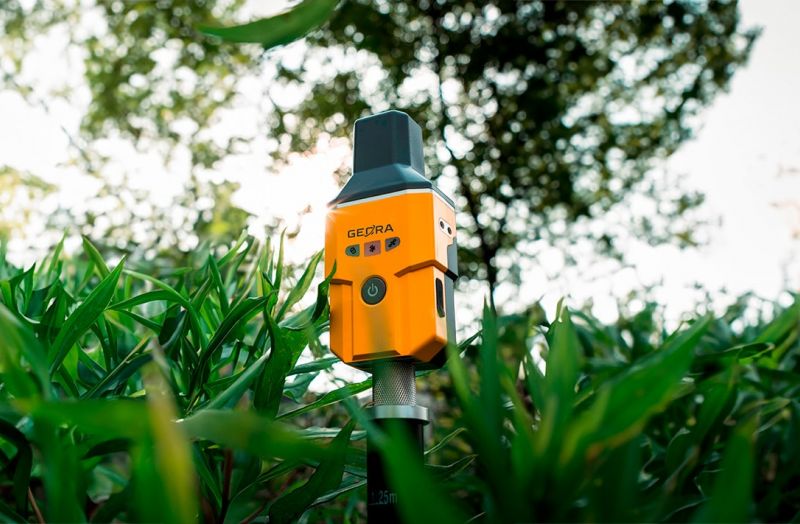
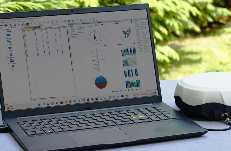
In the dynamic realm of land surveying, the introduction of the GEORA GNSS RTK receiver equipped with an Inertial Measurement Unit (IMU) has ushered in a new era of efficiency and convenience.
Staking out points is the process of transferring the coordinates of objects or boundaries defined on a plan or map to the locality.
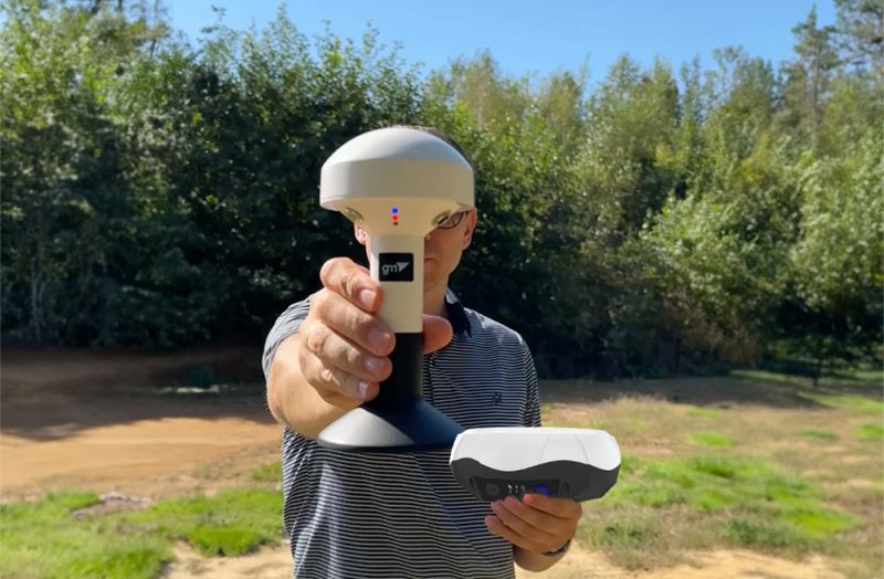
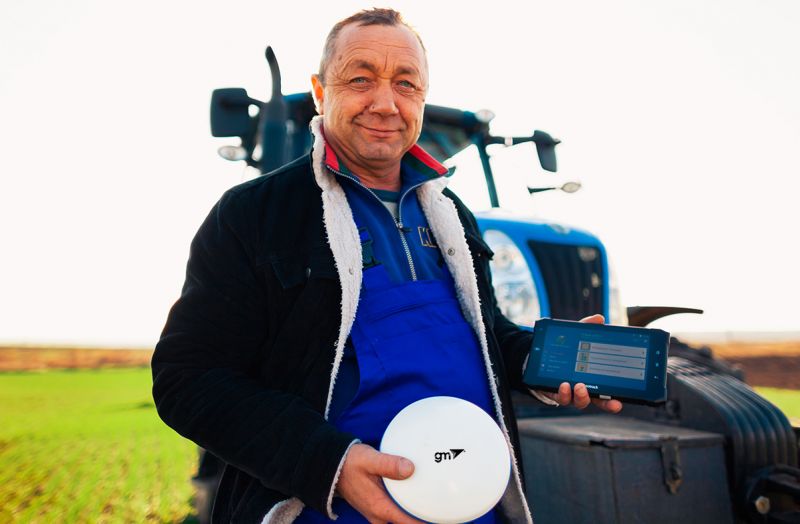
The GM SMART GNSS receiver is a high-tech device specially designed to meet the needs of modern precision agriculture. GM SMART provides high-precision navigation for agricultural machinery, allowing for the most efficient use of resources and time in the field.
Deformation monitoring is a vital aspect of ensuring the stability and safety of engineering structures, whether they are bridges, buildings, dams, or road surfaces.
Precise inspection of green plantings is necessary to maintain their health and longevity.
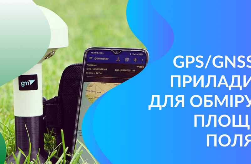
GPS/GNSS systems for area measurement allow farmers to obtain accurate data about their lands, which is important for planning crops and allocating resources. The Agronavigation system provides more precise and rational use of land, leading to increased crop yields and reduced expenses.
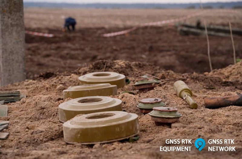
The issue of demining territories is a critically important aspect of modern security. Dangerous mines and bombs from past conflicts remain in various parts of the world, posing a threat to civilian populations and impeding infrastructure development.
GNSS (Global Navigation Satellite Systems) receivers allow us to accurately determine our location, navigate in unfamiliar places, and plan routes efficiently.
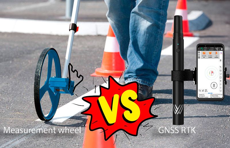
In the field of geodesy and land management, modern technologies offer many ways to measure distances and determine the coordinates of points.
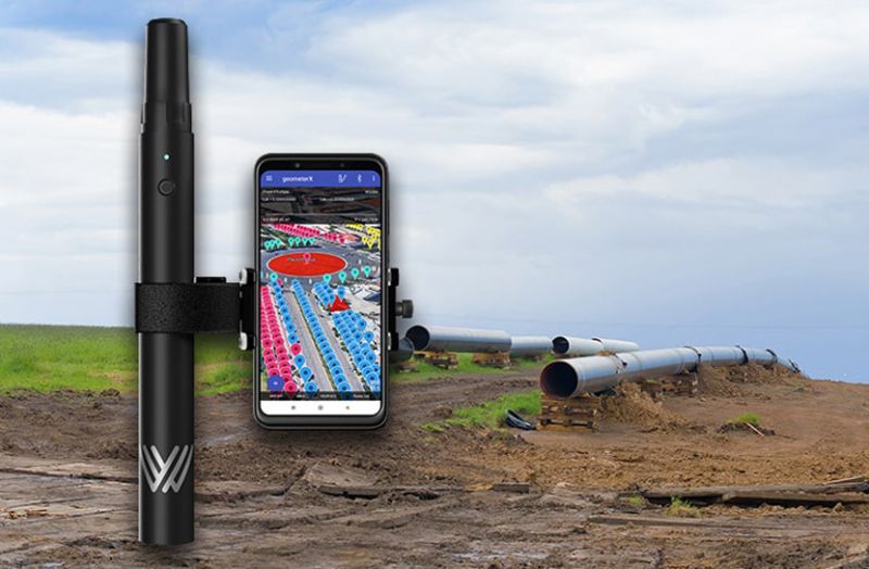
In pipeline construction, precision and efficiency are crucial for successful project execution. Construction companies providing pipeline laying services constantly seek innovative solutions to streamline their workflows, reduce costs, and enhance accuracy.
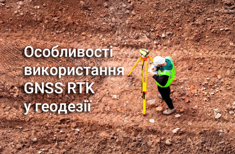
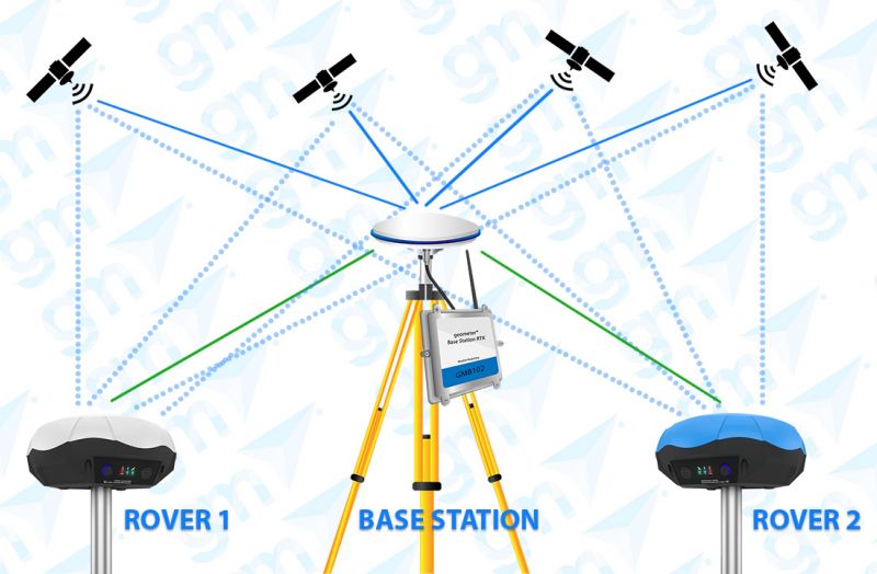
GNSS RTK (Real-Time Kinematic) is an advanced technology that provides high-precision real-time positioning. In this article, we will look at the basics of GNSS RTK, the different types of equipment and surveying kits, and their advantages and applications in various industries.
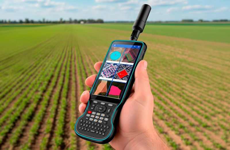
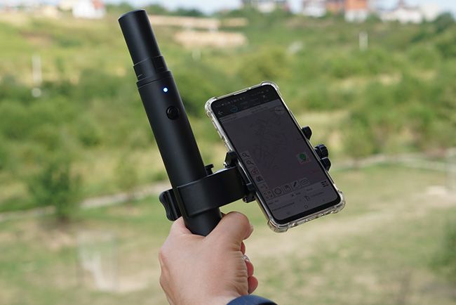
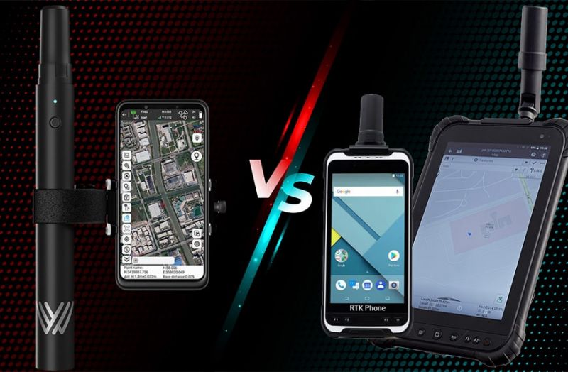
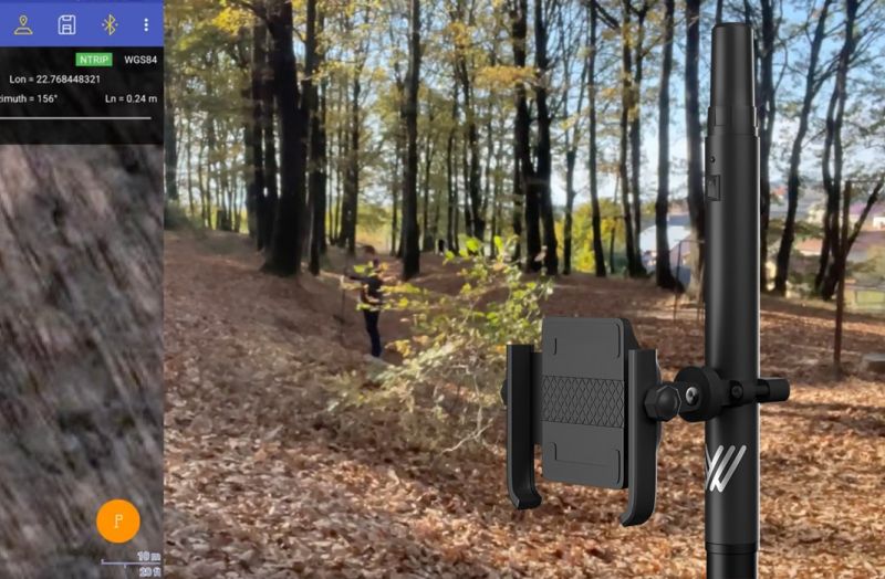
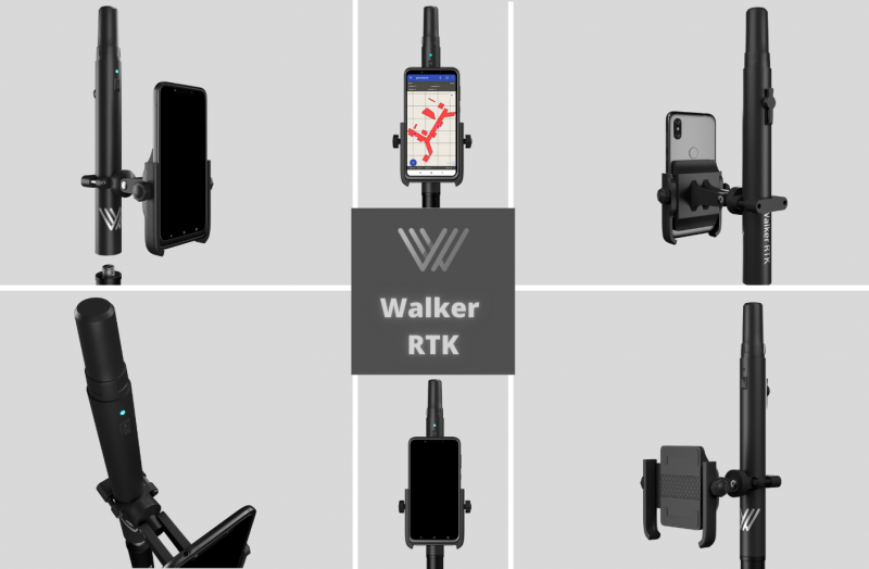
In this article, we'll look at why the compact Walker RTK GNSS receiver outperforms smartphones and tablets with a built-in RTK module.
In this article, we will explain RTK technology and how it differs from standard GNSS positioning and other high-accuracy methods like PPP (Precise Point Positioning).
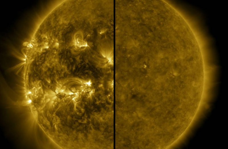
Due to the active sun and associated ionospheric disturbances, it is possible that GNSS RTK users this fall and winter will experience a decrease in accuracy and an increase in lock time: the time it takes for the GNSS receiver to get a centimeter-accurate solution.
Utility mapping is the process of identifying and mapping underground assets such as water and gas lines, electrical cables, and fiber-optic networks. These assets play a crucial role in our daily lives and the accurate mapping of them is essential for infrastructure management and planning.
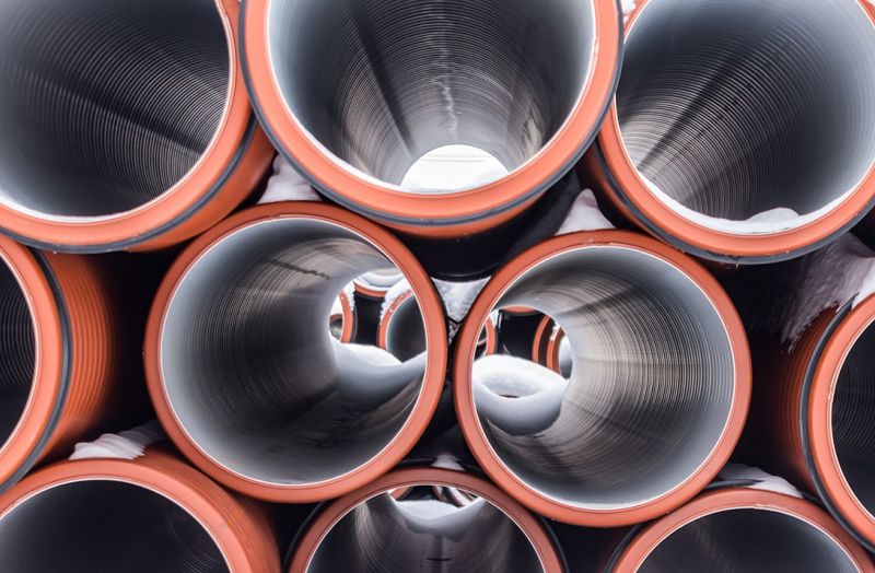
Accurate positioning is crucial in pipe laying as even small errors in location can lead to significant problems down the line. Incorrectly placed pipes can lead to leakage, damage, and even failure of the entire system. In addition, pipes that are not properly aligned can cause problems with subsequent construction and maintenance. Accurate positioning also allows for efficient use of resources and materials, as pipes can be placed in the most efficient and cost-effective way possible.
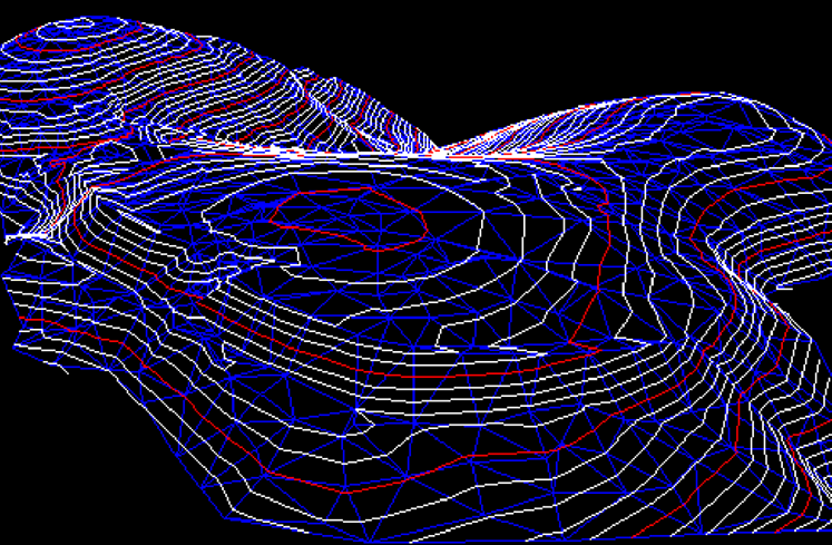
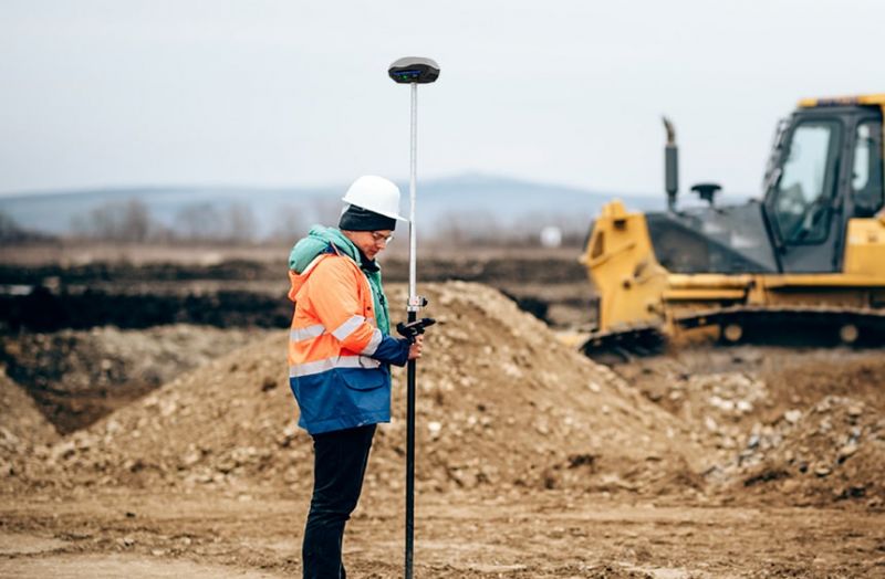
Designing of landscape design, drainage systems, construction, laying of pipelines, arrangement of trenches and channels can not do without the stage of obtaining the parameters of the terrain by high-altitude and planned survey of a given land plot. The specific features of these works are that they are all carried out on site and the mobility factor in the use of measuring instruments is a significant advantage when choosing them.
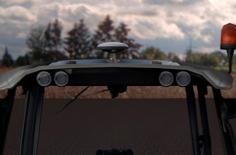
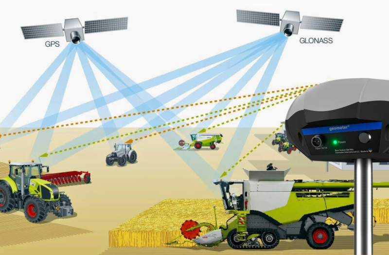
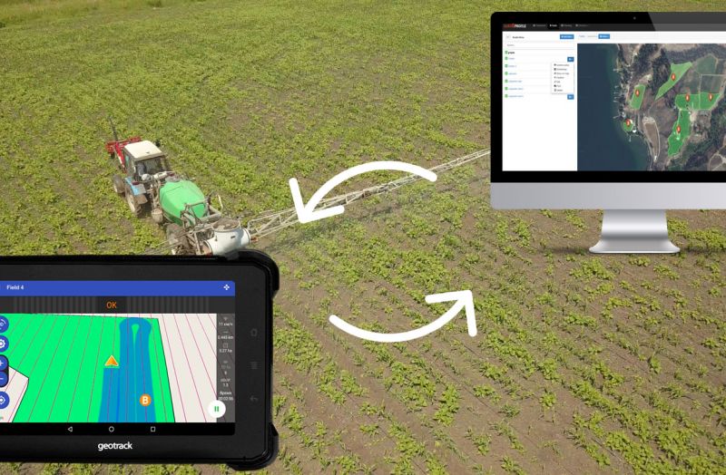
The fleet of agricultural machinery, which is equipped with an automatic steering system (autopilot), consists of thousands of units. Every day, such equipment goes to work in the field and one of the conditions for the successful application of the autopilot on a tractor or combine is the availability of a stable fixed pilot solution for its operation.
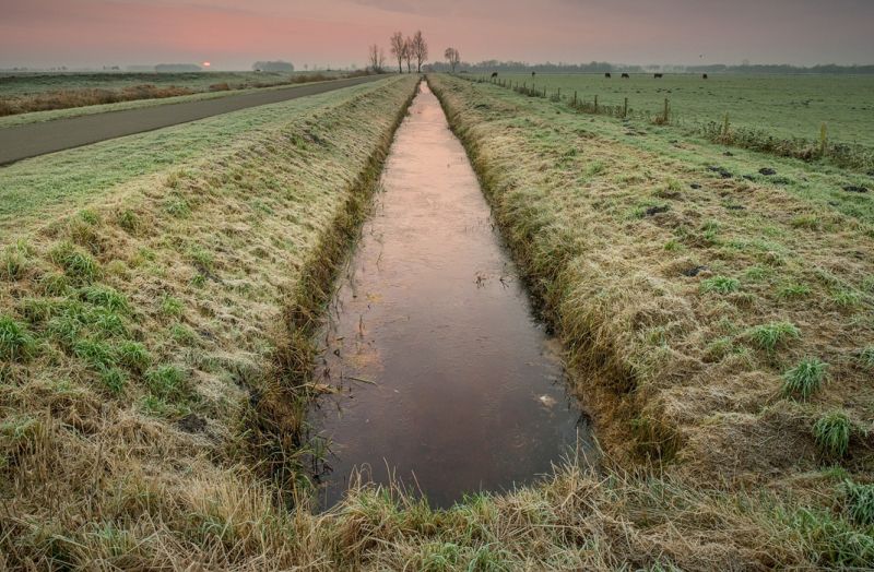
Designing a drainage system task for agricultural land is not simple and consists of several stages. First, you need to design the regulating, enclosing and leading network. Next, you need to decide on the location of the water receiver, the layout of the hydraulic structures, the road network and the maintenance part.
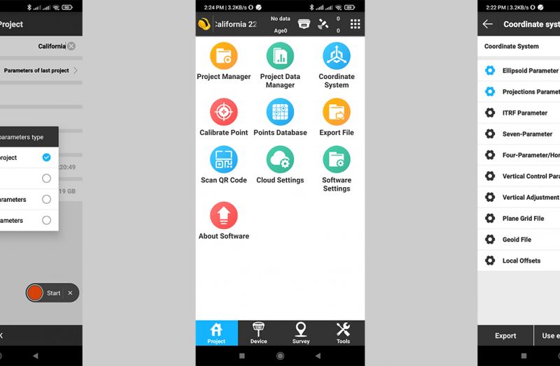
The choice of coordinate system at the beginning of the project is the basis on which the correctness of further measurements, calculations and works carried out using SurvX software depends.
Consumer expectations for lightweight, compact, portable GNSS/RTK devices have been around for years. However, until recently, they have been held back by a lack of appropriate hardware, and use was limited to large professional devices. Today, the situation is changing significantly and the market for compact GNSS/RTK devices is now in a phase of active growth. Practical applications of portable and lightweight GNSS/RTK devices are found in a growing number of industries, even those where it was not possible before.
Portable GNSS/RTK receivers and kits - are the ideal solution for field workers doing fieldwork. The ease of use of these devices, which are controlled by a single button, can significantly lower the threshold of user requirements.
Geometer International is actively working towards the introduction of high-precision positioning technologies and, in particular, the availability of RTK solutions for a broad group of users. It was practically impossible to achieve absolute positioning accuracy in a three-dimensional environment with a portable device before. All existing RTK kits are designed primarily for professional use in geodesy or precision agriculture and are heavy, which is a certain obstacle to their use in other industries, both professional and mass market.
While GNSS offers fantastic benefits to the world today and has enabled many applications in various industries, often the individual accuracy provided by GNSS is not sufficient for professional applications such as precision agriculture or surveying. To achieve high positioning accuracy, it is necessary to eliminate errors from the location data. Various technologies have been developed for this purpose. One of the most accurate and popular is RTK (Real Time Kinematic), which is used to achieve this goal.
The constant growth of prices on seeds, fertilizers, and agrochemicals requires the farmer to use them effectively and control them. Precision farming technologies have been developed to change the rules of the game in the tillage market. Their use makes it possible to reduce the cost of fuel, fertilizers, and herbicides by 10-15% on average. Control over tillage of each square meter of the field significantly increases the efficiency of agricultural machinery use and labor productivity.
Global Navigation Satellite System, or GNSS, is a 24-hour positioning and timing system based on artificial satellites which can provide users with precise three-dimensional coordinates, speed and time. The measurement of GNSS global positioning system has a certain degree of error as GNSS signal is too fragile to be affected by error sources, for example atmospheric factors, of which the ionosphere is an important factor affecting GNSS measurement. While as the direct influential factors to atmosphere, solar activities such as sunspots and flare will disturb the ionosphere non-periodically.
GNSS RTK technology - assumes the highest accuracy that can be achieved today with satellite positioning systems. Through RTK corrections, absolute precision is gained with RTK rovers reaching 1 cm or less in real-time.
Purpose of the test.
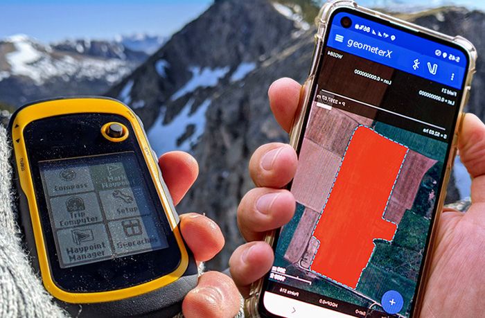
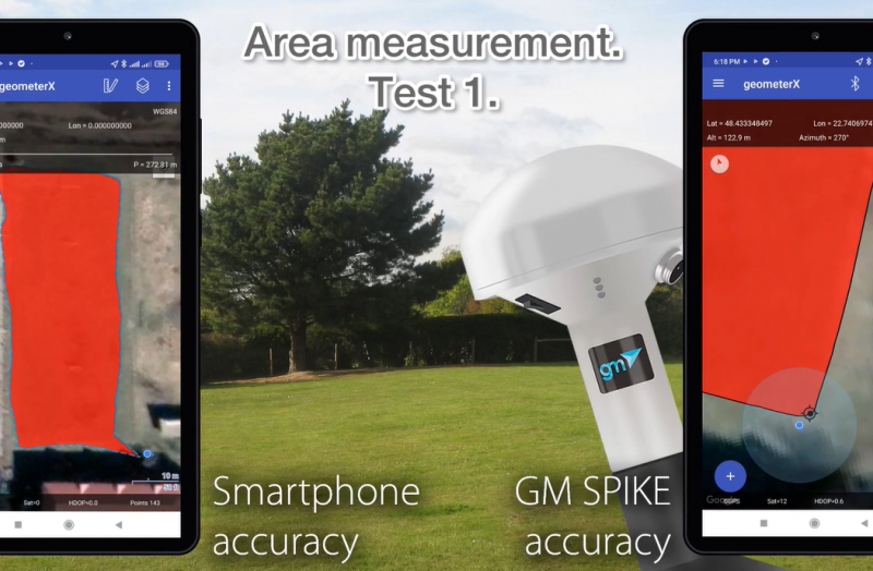
Compare the accuracy of measuring land area using the built-in GPS smartphone receiver, external GNSS receiver GM Spike and RTK receiver GM Smart M to identify the most accurate and optimal device to perform work on measuring the area of land areas.
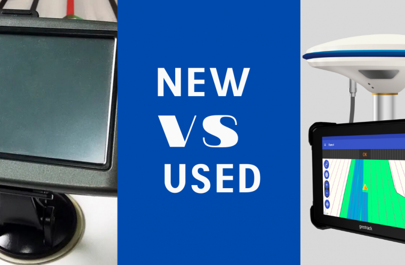
It is known that installed on a tractor or combine harvester agricultural guidance system from the first hours of use saves 15-20% of money on fuel, fertilizers and salary. Having decided to buy an agricultural guidance system, farmers are faced with a dilemma - to buy a new one at once or save money and buy used.
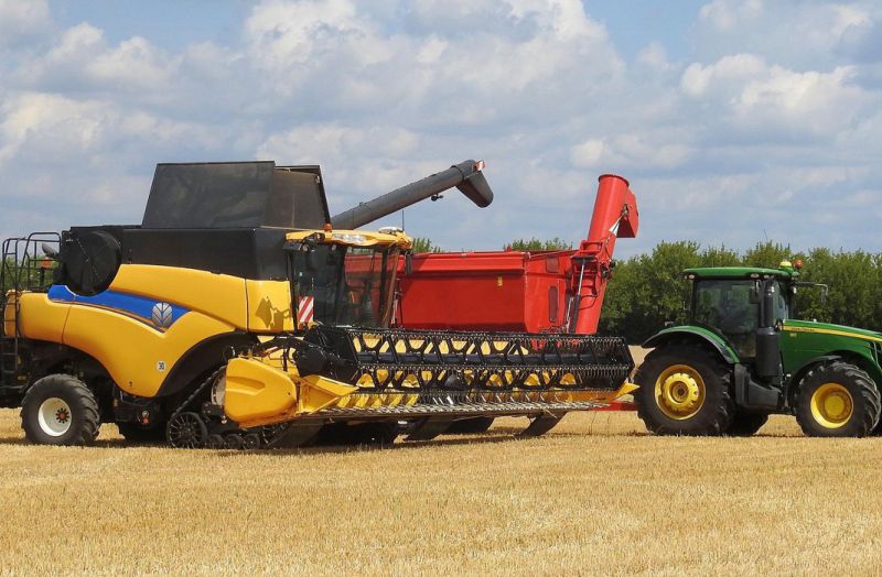
Service companies providing agricultural machinery rental services are maximally interested in its efficient use because every additional hour or acre of work is profitable.
Geometer continues to work and support its customers in these difficult times. We are always ready to lend a helping hand to farmers and clients from other industries for the supply of high-quality high-precision GPS/GNSS and RTK equipment.
The Geometer International team is in the final stages of releasing a new series of products named GM PRO gen 2 - a new hi-tech design, improved ergonomics and the latest technologies.
Not many people know, but our devices can also be used as useful devices for fishing and other outdoor activities. Here are some examples of how to use Geometer devices for outdoor activities.
Works to measure the area of a field or any land area is a common operation not only among farmers but also in other industries working with land resources. As long as such work is one-time or its scale is small and does not require centimeter accuracy, the requirements for the selection of GPS devices for measuring the area are minimal. In this case, ordinary smartphones with free apps, travel navigators, etc. are used.
It is known that agronavigation gives a qualitative increase in the efficiency of agricultural machinery use. Additional 10-15% of saved resources allow investing them into the improvement of the fleet of machinery, its technical re-equipment or expansion of areas under crops.
Let the inhabitants of your territorial community breathe a sigh of relief as you measure subject lands and create your own interactive single base. Let disappear the neighborhood wars
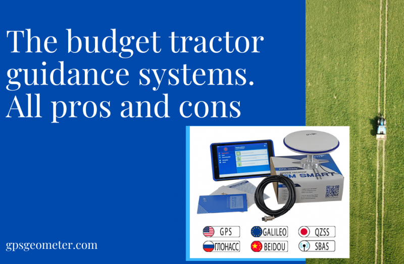
One of the vectors of precision farming is agricultural guidance or tractor gps system. It is with the installation of equipment for parallel control on tractors, combines and self-propelled machinery that the way to the use of precision farming technologies begins.
Посівна кампанія для будь-якого фермера - фундамент, що закладає успішність майбутнього врожаю. Огріхи, яких припустилися при посіві, у вигляді пропусків або перекриттів стануть видими вже буквально через 7-10 днів. Виправити помилки звичайно можна - але за це доведеться заплатити додаткову ціну і вона буде значною. Тому краще рішення не допускати їх зовсім.
Survey engineer is a prestigious and demanded profession in Ukraine. There are few good specialists in land management, and the queue for them can be scheduled for several weeks, or even months.
The task of measuring the area of any land plot has now actually been simplified to 2 steps.
The first is to find and install a special mobile application on Android or IOS.
The second is to go around the area along the perimeter with the smartphone and GPS/GNSS receiver and get the area and contours of the area in the installed program.
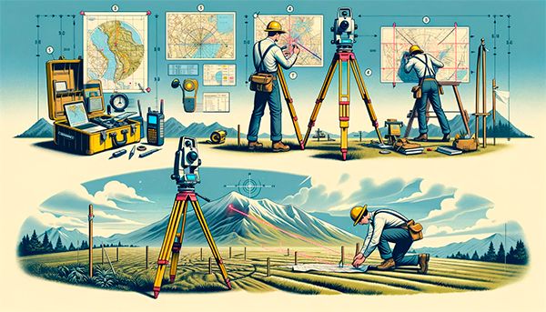
Geodetic measurements have long been the basics of many industries. They are especially relevant for construction, topography, geology, land management and agriculture. The main requirement for geodetic measurements is high accuracy. It is the accuracy that determines the requirements for the means, methods and equipment for geodetic work.
Land has always been a valuable resource and the basis of economic and domestic relations, and its distribution and accounting for their foundation. As never before, in Ukraine there is a need to carry out land management work after the transfer of land to the status of a commodity.
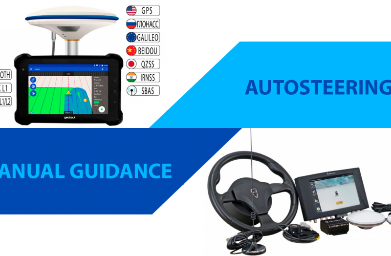
Both the autosteering and the autopilot will raise the overall level of automation of the agribusiness processes, so their purchase will definitely pay off. When choosing, one should rely on the tasks of the enterprise and its financial capabilities.
Most of the operations in the field are repeated cycle of movement from pass-to-pass, with u-turns at the end of the field. Such monotony, resulting in operator fatigue, makes it almost impossible to maintain constant accuracy in controlling the unit.
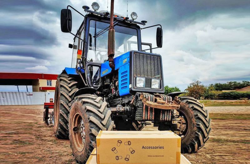
The Belarusian tractor MTZ is one of the most famous in Ukraine. Mentioning the MTZ tractor in a conversation, it is immediately associated by many farmers as a universal budgetary and reliable agricultural machine capable of performing most ordinary tillage operations. About 10% of all tractors in the world are manufactured under the MTZ brand.
In the geometer program, all measurements are displayed on Google maps and one touch turns into 3D view. In addition to standard maps, the set includes topographic, satellite, Open Street Map, and cadastral map.
It still happens that the real boundaries between the neighbors' plots exist purely in the technical documentation, and the measurements on the site itself have never been carried out. Sometimes one neighbor may have time to conclude a State Act on the right of private ownership of land, and other landowners have not yet had time to properly document. What to do in such a situation?
"Agroliga" is an exclusive program for Syngenta's clients who wish to receive rewards for what they prefer and remain Syngenta's permanent partners.


