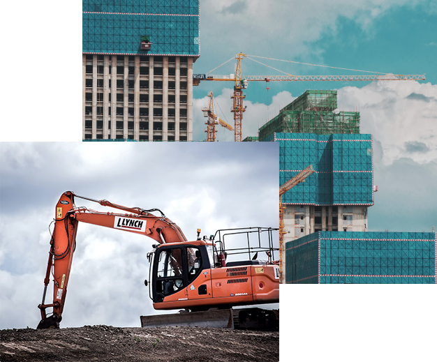
Solutions for construction
Perform construction works quickly and efficiently with our
construction solutions.
Improved accuracy for construction works
GNSS and RTK satellite precision positioning technologies in construction for the analysis and design of facilities that provide simplified and high-quality work to engineers and construction specialists.
Specialized technical and technological solutions for construction help to improve the quality and accuracy of geodetic works in construction and the use of satellite positioning technologies for construction equipment.


Solutions for geodesy
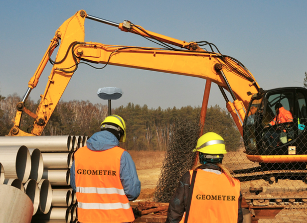
Solutions for geodetic surveys by Geometer company include high-precision RTK kits and specialized software.
Provides the ability to perform complex tasks:
- GIS for Surveying
- Road marking
- Power line marking
- Railway line marking
- Site marking for landscaping
- Site marking for construction
Solutions for construction machinery management
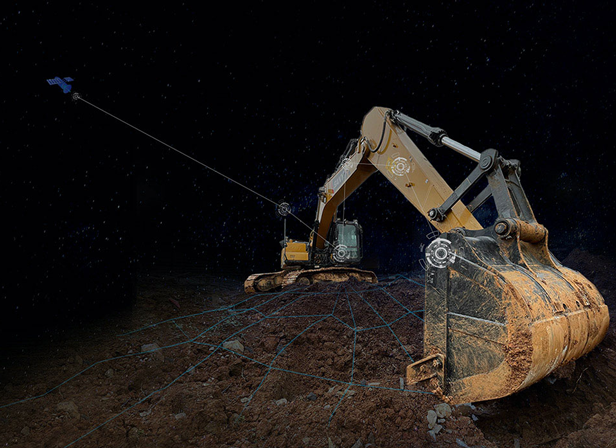
Increase the productivity of land leveling works with the help of a 3D system of automatic control of the excavator bucket.
- Slope brushing
- Construction site planning
- Landscape site planning
- Land leveling
- Deep excavation
- Swamp excavations


