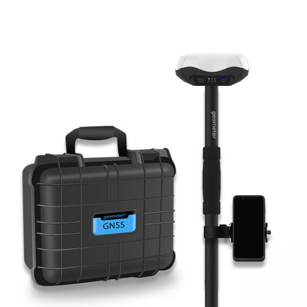
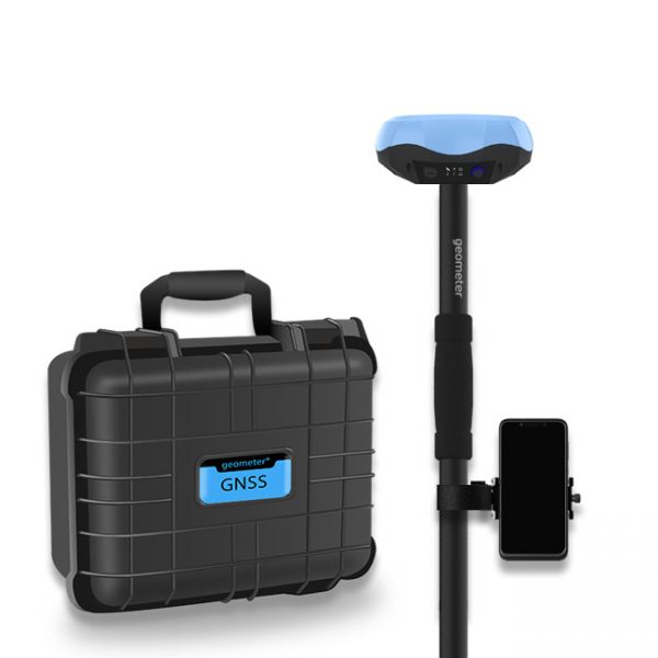
DSM Stakeout (Digital Surface Model Stakeout) is a process related to surveying and construction, in which digital surface models (DSM) are used to perform stakeout in the field. This method allows surveyors or builders to accurately set point coordinates on-site according to a pre-created digital surface model, which includes all objects on the ground, such as buildings, trees, bridges, and other elements.
Main stages of DSM Stakeout:
1. Creating DSM: Generating a digital surface model based on data obtained using GNSS, drones, or other tools.
2. Defining target points: Key points that need to be staked out are highlighted on the surface model.
3. Stakeout: These points are accurately marked on the site using GNSS equipment or other instruments.
This process simplifies construction, earthworks, and other projects where precision in staking out elements based on a complex digital terrain model is important.
What is DTM (Digital Terrain Model)
DTM (Digital Terrain Model) is a three-dimensional representation of the earth’s surface, which includes only the natural terrain, excluding objects like buildings, trees, and other artificial or natural surface features. DTM is used in surveying, construction, hydrology, and other fields to analyze terrain and plan work.
Key characteristics of DTM:
1. Terrain representation: The model displays only the elevations and slopes of the natural earth surface.
2. Creation: DTM is usually generated based on data from GNSS, laser scanning (LiDAR), aerial or satellite imagery.
3. Application: It is used for infrastructure design, engineering calculations, water runoff assessment, flood modeling, as well as in geodetic surveys and topographic mapping.
DTM differs from DSM in that the latter includes all objects on the earth’s surface, whereas DTM reflects only the "bare" terrain without obstacles.
Multi-frequency GNSS GM PRO L KIT. The receiver has 965 channels, receives a signal from satellite systems GPS, GLONASS, GALILEO, BEIDOU, QZSS, IRNSS. Receiver works with L1, L2, L5 bands. The receiver is designed for performing of surveying works, such as: stakeout, determination of the exact boundaries of sites, land surveying, field area measurement, stake out points, stake out lines, GIS survey, stakeout roads, cross-section measurement, slope staking, power line survey, height control and other functions. The kit comes in a sealed shockproof box.
Special kit for positioning with centimeter RTK accuracy and obtaining high-precision coordinates. The set consists of a dual-frequency GNSS receiver GM PRO model U, rugged smartphone with geodetic software installed.


