GNSS measurement devices and RTK kits
GNSS RTK measuring devices provide high accuracy and reliability of measurements when performing work. They allow you to determine the coordinates of objects with a high degree of accuracy, which is especially important for precision farming, geodetic work, construction, architecture and any GIS work. By leveraging the capability to receive data from multiple satellite systems concurrently and incorporating corrections from base stations, GNSS RTK measurement devices deliver highly reliable results. This significantly reduces the margin of error and enhances the overall quality of project execution.
The use of GNSS RTK measuring instruments can significantly increase productivity and work efficiency. Thanks to automated data acquisition and precise positioning of objects, the time spent on surveying and measuring is greatly reduced. This allows you to speed up the design, construction and monitoring processes, reduce costs and increase overall productivity.
GNSS RTK instruments play an important role in safety on construction sites, roads and other industries. They allow you to accurately determine the boundaries of land, detect underground utilities and other potential hazards, which helps to avoid unforeseen situations and prevent possible accidents or damage to infrastructure.
GNSS RTK instruments provide valuable data needed for efficient resource planning and management. They help determine the optimal location of facilities, monitor the condition of infrastructure, manage inventory and ensure optimal use of land resources. This contributes to a more rational use of resources, reducing costs and increasing environmental sustainability.
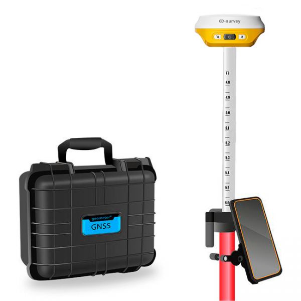
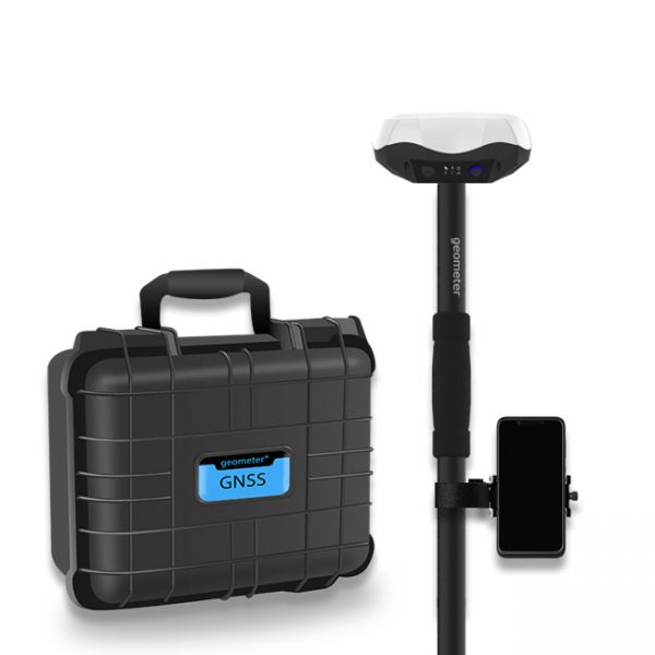
Multifrequency Geodetic GNSS RTK e200 KIT is a high-performance network receiver designed to exceed your productivity expectations. This entry-level GNSS solution supports multiple frequencies from various satellite constellations, ensuring enhanced positioning accuracy.
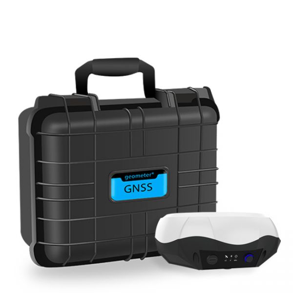
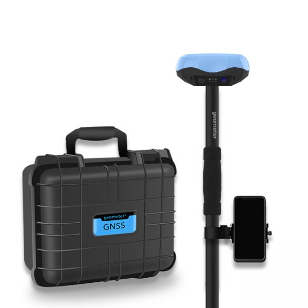
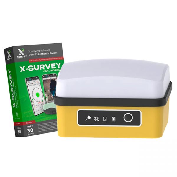
Multifrequency Geodetic GNSS RTK eRTK10 mini KIT is a high-performance network receiver designed to exceed your productivity expectations. This entry-level GNSS solution supports multiple frequencies from various satellite constellations, ensuring enhanced positioning accuracy.
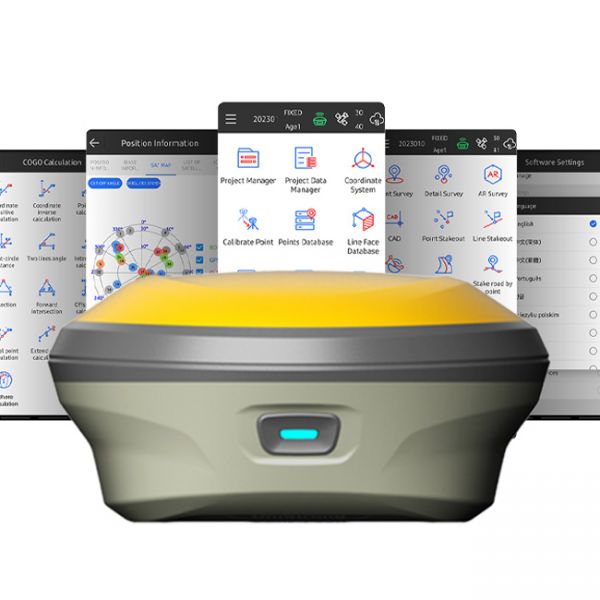
The GNSS RTK receiver eRTK10 mini is a high-performance network receiver with IMU and camera, designed to boost your productivity beyond expectations. This GNSS base solution supports multiple frequencies from various satellite constellations, ensuring enhanced positioning accuracy.
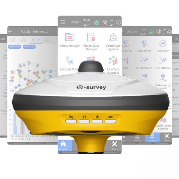
GNSS RTK Kit eSurvey E500 (1408-channel version) is a state-of-the-art multi-channel GNSS RTK solution that delivers outstanding positioning accuracy and stability.
eSurvey E500 (1408-channel version) is a modern multi-channel GNSS RTK receiver that delivers outstanding positioning accuracy and stability.
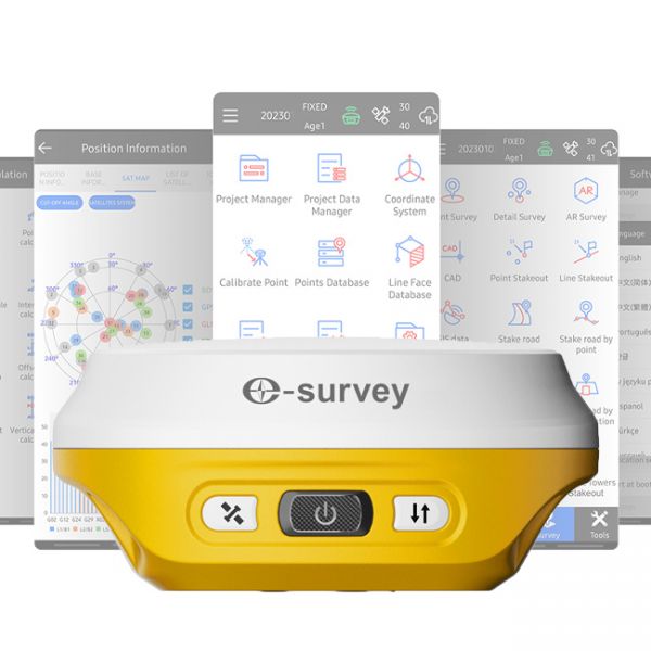
The eSurvey E200 is a high-performance network receiver with tilt compensation (IMU). It features an upgraded GNSS module with 1408 channels to boost your productivity and exceed expectations. This GNSS rover connects both to GNSS correction networks via built-in 4G and through radio communication. It supports multiple frequencies from different satellite constellations, ensuring enhanced positioning accuracy.
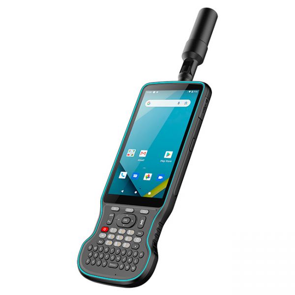
The Y55G field controller is a modern geodetic controller with an integrated GNSS RTK receiver. It features a multi-frequency 1408-channel board supporting L1, L2, and L5 bands. The device supports all major satellite systems: GPS, GLONASS, BeiDou, Galileo, QZSS, and IRNSS, ensuring stable positioning even in challenging environments.
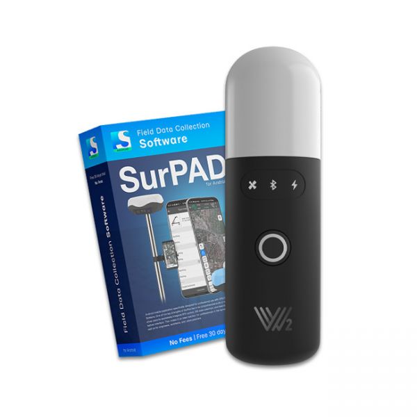
The Walker 2 IMU GNSS RTK kit with the P94 controller is a powerful and ultra-light geodetic GNSS RTK solution for professionals.
The Walker 2 IMU GNSS RTK Kit is a powerful and ultra-light GNSS RTK solution for professional measurements with centimeter-level accuracy. The Walker 2 IMU KIT comes in a shockproof case.
The Walker 2 receiver is an exceptionally lightweight and compact GNSS RTK device, weighing only 220 grams, designed for convenient use in any field conditions. Its sealed and shock-resistant housing withstands drops from heights up to 1.6 meters, ensuring reliability on construction sites, in agriculture, and in challenging terrain.
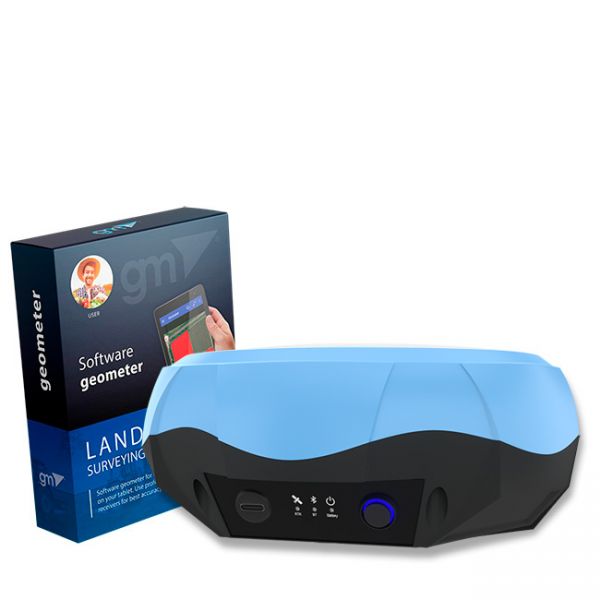
Single-frequency GNSS kit with decimeter accuracy on a free satellite signal, and with the ability to obtain RTK L1 accuracy. A new series of GPS/GNSS receivers in a compact GM PRO mini body. The kit consists of a protected smartphone with the "geometer SCOUT" software installed and a GM PRO model S GNSS receiver that communicates with the smartphone using a Bluetooth.
Multi-frequency GNSS GM PRO L KIT. The receiver has 965 channels, receives a signal from satellite systems GPS, GLONASS, GALILEO, BEIDOU, QZSS, IRNSS. Receiver works with L1, L2, L5 bands. The receiver is designed for performing of surveying works, such as: stakeout, determination of the exact boundaries of sites, land surveying, field area measurement, stake out points, stake out lines, GIS survey, stakeout roads, cross-section measurement, slope staking, power line survey, height control and other functions. The kit comes in a sealed shockproof box.
Special kit for positioning with centimeter RTK accuracy and obtaining high-precision coordinates. The set consists of a dual-frequency GNSS receiver GM PRO model U, rugged smartphone with geodetic software installed.
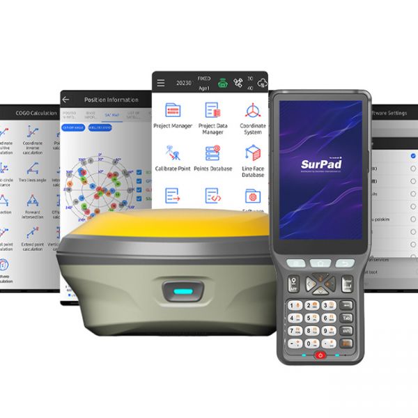
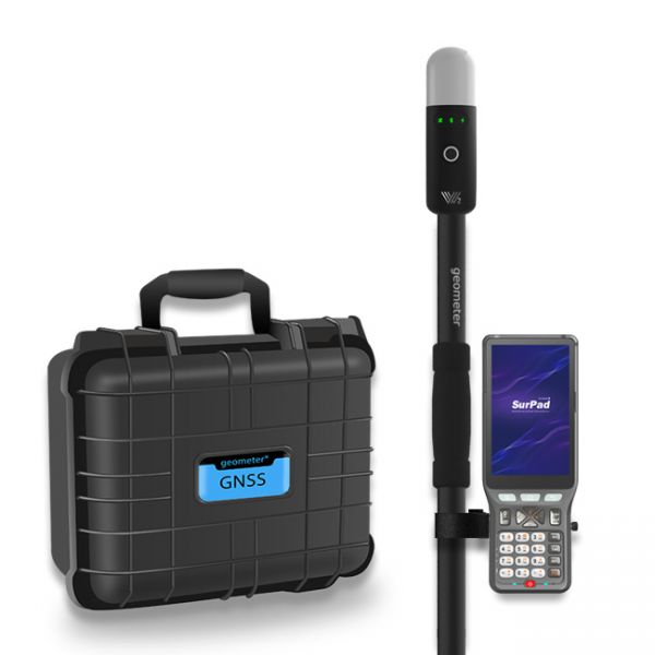
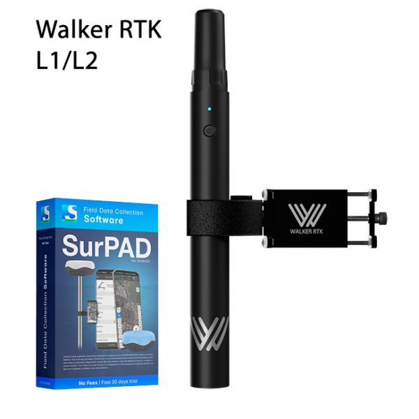
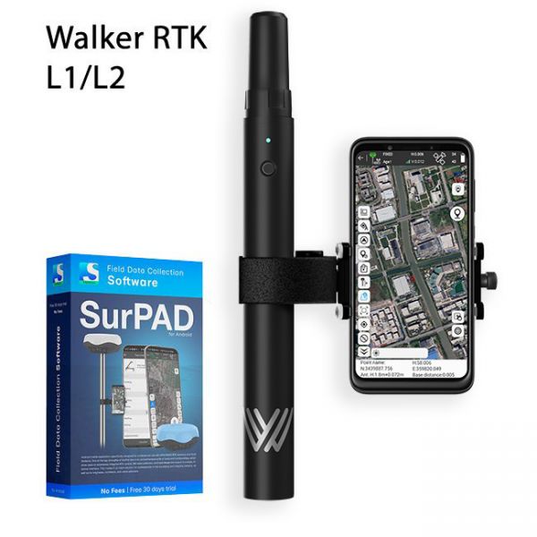
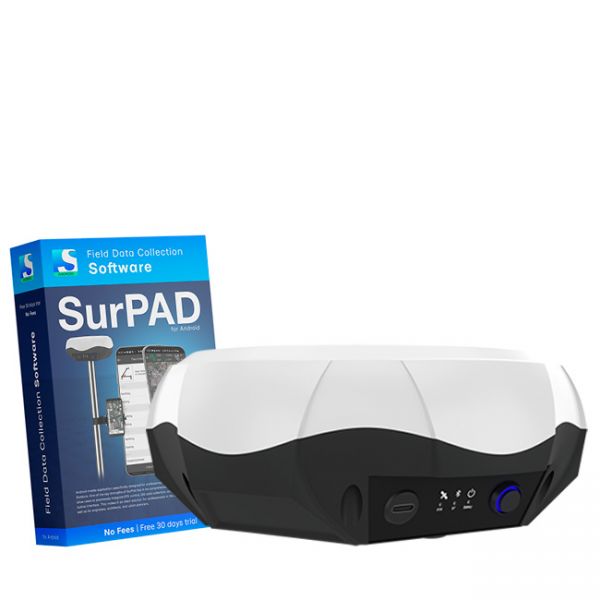
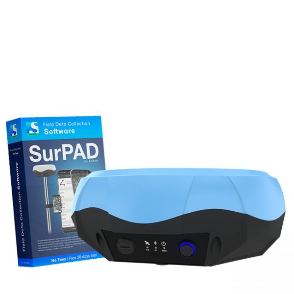
Walker RTK with professional surveying mobile application SurPAD is the ideal kit for surveying, as well as for 3D surveying manholes, sidewalks, curbs, steps, landscaping, mapping trenches, and underground utilities such as electricity, gas, water, and sewer lines
Full set of equipment Walker RTK with professional surveying mobile application SurPAD 4.2 is the ideal kit for surveying, as well as for 3D surveying manholes, sidewalks, curbs, steps, landscaping, mapping trenches, and underground utilities such as electricity, gas, water, and sewer lines
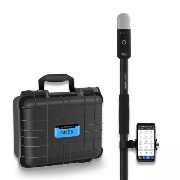
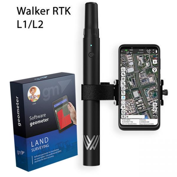
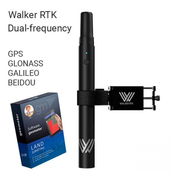
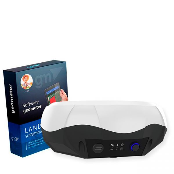
The complete Walker RTK equipment set with the Geometer SCOUT mobile app for Android is the perfect solution for point collection during infrastructure digitization in the WGS84 geographic coordinate system. It is also ideal for 3D surveying of inspection manholes, sidewalks, curbs, steps, landscape elements, as well as mapping trenches and underground utilities such as electrical, gas, water, and sewage networks.
The Walker RTK with geometer mobile app is a compact and easy-to-use ideal tool for 3D surveying manholes, sidewalks, curbs, steps, landscaping, mapping trenches, and underground utilities such as electricity, gas, water, and sewer lines.
Multi-frequency GNSS RTK receiver "GM PRO L" with surveying software SurPad 4.2 for staking-out points, staking-out properties, cadastral measurements and much more.
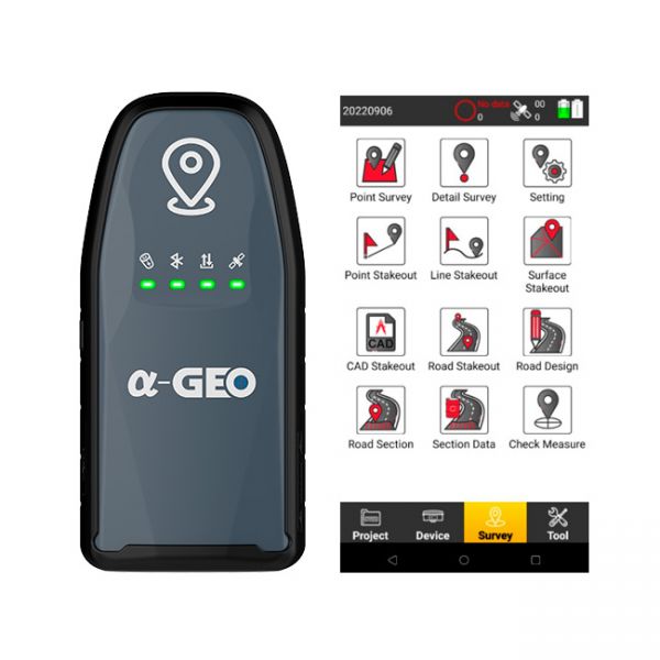
The AlphaGeo GeoPuls is a high-precision RTK receiver that combines advanced GNSS technology with laser measurement, delivering a new level of efficiency in geodetic work.
Bundle: GM PRO S single-frequency GNSS receiver and geometer SCOUT software for field area measurement (Smoothing mode + RTK L1) is the optimal kit for accurate measurements (measurement of area, distances, work with points). The GM PRO S external GNSS receiver is used to improve the sensitivity and quality of the GPS/GNSS signal.
The Dual-frequency GNSS "GM PRO U" with SurPad 4.2 for Android works in frequency ranges L1, L2 has 184 channels for performing of surveying works, such as: stakeout, determining clear boundaries of areas, land surveying, field area measurement, stake out points, stake out lines, GIS survey, stakeout roads, cross-section measurement, slope staking, power line survey, height control and other functions.
Bundle: Dual-frequency GNSS receiver GM PRO U and geometer SCOUT application for stakin-out and precise measurements. This is the optimal set for accurate measurements (measurement of area, distances, accurate points). The GM PRO U receiver is used to obtain centimeter positioning accuracy.
Cube RTK - This geodetic kit is designed for high-precision point staking, parcel demarcation, cadastral surveys, and topographic mapping with exceptional horizontal and vertical accuracy. The kit includes professional-grade equipment and advanced geodetic software, making it an affordable and effective choice for professionals.
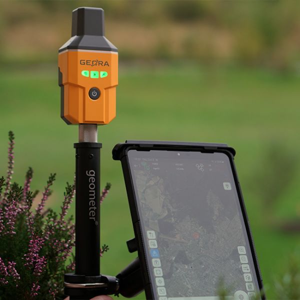
The GNSS RTK receiver GEORA IMU Tab KIT includes not only the compact GEORA GNSS RTK receiver with IMU and SurPad 4.2 software for Android but also a modern surveying tablet with all the necessary accessories for professional work.
GPS devices for measuring of the land area by Geometer company - one of the best in the segment of measuring GPS/GNSS devices. GeoMeter devices have a wide range of functions, as well as simplicity and ease of use. The functionality of the devices was developed and adjusted to the requirements of leading agronomists in Ukraine. We are proud that our devices are in demand all over the world.
A few years ago, we released a new generation of devices and software geometer SCOUT for precision farming, which is designed for agronomists, accountants and managers of agricultural enterprises. The success of the new program has taken the company beyond precision farming, and now, the new geometer SCOUT software is used not only by agricultural enterprises, but also construction companies, surveying and landscaping companies, utilities and energy companies, mining and processing plants, and forestry. An updated range of GNSS RTK equipment at the most attractive prices.
The first generation of the program was developed before 2010 for the Windows Mobile platform and Windows CE. Then, in 2016, Geometer continues to develop a new generation of applications based on the Android operating system.
The word SCOUT means scouting, agroscouting - a new way of research (agronomic and more). That's why in its new application, Geometer focuses on a deeper study of information about the state of soil and plants.
Observation of the development and growth of culture is the main source of information about the state of crops. With the geometer SCOUT application, you can not only work with the exact area of fields, but also capture the phytosanitary condition of plants, take photos with reference to fields and coordinates, capture cases of diseases, pests and weeds.
Accurate field area measurement using satellite GPS/GNSS signal is the basis for proper data analysis and the first step towards precision farming. Farmers need instruments to measure the area of agricultural fields in order to properly draw up a plan of costs for their areas. With the help of geometer SCOUT software and devices, the farmer can easily and quickly accurately measure the area of their fields, display them on a map in the Agroprofile system, and get an initial work plan.
To measure the area of the field, it is enough to go around with the geometer device on the field, or go around it by car, the device will accurately display the contour of the field on the screen and display its area, perimeter and length.
Geometer is a licensed product, by purchasing which you receive genuine software that fully meets the stated accuracy and capabilities, as well as you protect yourself from counterfeiting. In terms of GPS/GNSS functionality, the geometer SCOUT software has no analogues. Geometer is a registered trademark.


