Best deals for UK and EU customers with zero tariffs on all products from Ukraine.

Affordable Tractor GPS/GNSS System

Categories
Table of contents
  1. Precision Agriculture by Geometer Company
  2. Simple and Effective Agricultural Guidance System by Geometer Company
  3. GM SMART for Precision Farming
  4. How to make your own Agricultural Guidance System

Food production has always been and remains one of the key tasks of humanity. In the era of scientific and technological progress and the growing population of the planet, the efficiency of agricultural processes acquires particular significance. Precision agriculture systems, which include GPS/GNSS area measurement systems, agricultural guidance systems, and monitoring of agricultural machinery usage, play a key role in this process.

GPS/GNSS systems for area measurement allow farmers to obtain accurate data about their lands, which is important for planning crops and allocating resources. The Agricultural guidance system provides more precise and rational use of land, leading to increased crop yields and reduced expenses.

Agricultural navigation systems for tractors automate many processes in agriculture. They allow for precise control of the machinery's trajectory, reducing overlaps and gaps in field processing, which also helps to lower costs and reduce environmental impact. GPS satellite monitoring systems for controlling the use of agricultural machinery are not just a tool for control, but also a means of optimizing work. They enable the analysis of the efficiency of machinery and equipment usage, contributing to more effective work planning and cost reduction.

Precision Agriculture by Geometer Company

Geometer International LLC has taken a step forward by combining these three directions into a single integrated ecosystem of products. This approach not only provides a closer connection between different aspects of agricultural production management but also ensures a higher level of automation and process optimization. This leads to increased crop yields, reduced costs for land cultivation, and improved quality of agricultural products.

Simple and Effective Agricultural Guidance System by Geometer Company

Geometer International LLC offers its own development: the GNSS receiver GM SMART with the geotrack program for Android. This is the optimal set for creating your own agricultural navigation system. Professional accuracy at an affordable price. Install the geotrack app on any compatible Android device, sync it with the GM SMART GNSS receiver via Bluetooth, and your advanced navigation system is ready to go! This simple and functional set is an affordable alternative to complex professional agricultural navigation systems offered by major global brands. It includes all key functions for effective fieldwork: precise area measurement, five guidance modes including free driving, straight driving along predefined A-B lines, driving along curved A-B lines, and processing the perimeter with straight and curved A-B lines.

The system also saves the history of all completed works, allowing you to continue any operation at a convenient time. Additionally, thanks to the ability to transmit location data via the Internet, GM SMART enables real-time work progress monitoring, providing valuable information for making prompt decisions on the farm.

GM SMART for Precision Farming

GM SMART is a single-frequency L1 GNSS receiver. Together with the geotrack app, it not only helps in determining the field area with high accuracy but also in performing various agrotechnical operations, such as sowing, fertilizing, and spraying, with improved precision and efficiency. Thanks to the software smoothing filter, an accuracy of relative coordinates is achieved at the level of 15 cm from pass to pass using the free satellite signal. Note that there are very few receivers that provide true accuracy for parallel driving on a free signal.

GM SMART supports high-precision positioning technologie RTK, but with a distance limitation from the base station of 5 to 8 km. If you have your own mobile GNSS base station, you can use it for RTK correction of the GM SMART receiver. If you want to remove the limitation for using RTK, you can contact us to purchase firmware that will enable opening the L2 frequencies in this receiver. This is a paid additional option. After unlocking, the GM SMART receiver will operate on L1/L2 frequencies similar to a professional geodetic receiver and will receive corrections from any NTRIP correction provider at distances of 50 km and more.

The GM SMART GNSS receiver allows for precise tracking of a tractor's position in the field, and in combination with the geotrack app, enables farmers to optimize their routes and reduce overlaps or gaps in land treatment. This leads to significant time and resource savings, increasing the overall productivity of the work.

The geotrack app for Android provides an intuitive interface that allows farmers to quickly learn the modes of operation of the app. If the Android device has Internet access, the farmer can monitor the work in real-time, allowing for prompt responses to changes in field conditions.

How to make your own Agricultural Guidance System

How to assemble your agricultural guidance system and how much it will cost. The agricultural navigation system consists of three main components:

1. Tablet or smartphone with Android OS
To create your own agricultural navigation system, you will need a tablet with a tractor holder or a smartphone. We recommend using a tablet, because it is more convenient to use the program with a device with a screen diagonal of 7-9 inches. The average market price for a suitable device starts at $120.

2. The geotrack program
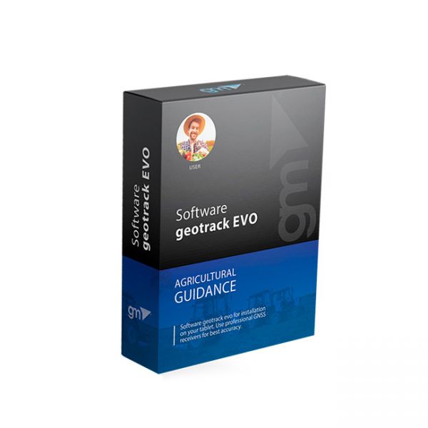
Professional geotrack program with wide capabilities of the agricultural navigation system: 5 guidance modes, area measurement with the function of antenna offset, saving of work history and synchronization with the Agroprofile online platform. Permanent geotrack license with subsequent updates and improvements, no monthly fee - $250.

3. GM Smart GNSS receiver
A specialized single-frequency GNSS receiver with the possibility of improvements. Excellent parallel driving accuracy on a free satellite signal thanks to a proprietary Smooth filter designed specifically for precision farming. The GM Smart receiver provides 15-20 cm pass-to-pass accuracy without additional satellite corrections and subscriptions. GM Smart receiver with guaranteed high positioning accuracy - $550.

At the moment, the Geometer International LLC offers a GNSS receiver and geotrack program at a reduced price. Hurry up to take advantage of this great offer.

The GM SMART set with the geotrack app is the best solution in the market for agricultural navigation systems. Contact us for more detailed information and for DEMO access to the geotrack app.

( 1 )
Recommend

Geotrack is the low-cost GPS guidance mobile application for Android devices which supports all tractor related field works such as spraying, fertilizing, plowing harvesting and sowing. Along with the software, geotrack users can purchase highly accurate GNSS and RTK solutions which provide smoothed guidance and centimeter accuracy.

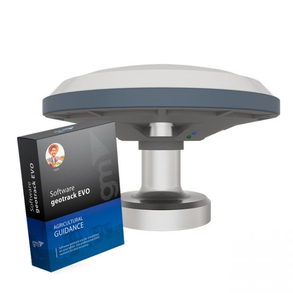
The kit of equipment: agricultural mobile application geotrack with a GM SMART receiver. This is the optimal kit that will allow you to create your own agricultural guidance system (tractor gps, sprayer gps) with stable accuracy of 15 cm from pass-to-pass

( 94 )
23 842,50
19 700,00

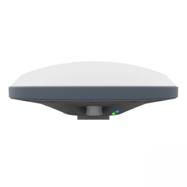
GM SMART GNSS receiver is a new generation receiver for working with any navigation programs and the ability to increase accuracy up to 1 cm. It has 335 channels to work with all available satellite systems: GPS, GLONASS, GALILEO, BEIDOU, QZSS, IRNSS, SBAS.

Comments
No reviews yet
Write your comment
Name*
Email
Enter your comment*