Measuring wheel against GNSS RTK for road works
27.09.2023In the field of geodesy and land management, modern technologies offer many ways to measure distances and determine the coordinates of points. Measuring wheels, remaining a reliable tool for many years, in recent decades began to give way to the development of GNSS technologies, namely GNSS RTK. Both methods have their advantages and limitations that should be considered when choosing the right tool for a particular task. In this article, we will review the features and compare the accuracy, speed and applicability of the measuring wheel and the GNSS RTK instruments in various surveying and engineering tasks.
Accuracy and reliability of measurements.
The measuring wheel was certainly a useful tool for measuring distances on the construction site. However, it is limited in the accuracy of its measurements, prone to wear and errors associated with the uneven surface of the road. GNSS RTK receivers provide much higher accuracy and reliability of measurements, allowing to determine the coordinates of objects with millimeter accuracy even at great distances.
Time and efficiency.
Measuring with a measuring wheel is more labor intensive than with a GNSS RTK device. The operator must physically measure distances and carefully monitor accuracy. At the same time, with a GNSS Walker RTK device, you can go all the way to record a continuous path line with multiple points, or record the first and last points to know the distance between points in a straight line.
Work in difficult conditions.
The measuring wheel is ineffective when working on uneven or hard-to-reach areas. The GNSS RTK receiver allows you to work in the most difficult environments, including forested areas, urban areas and places with limited satellite visibility.
Data visualization.
Measuring wheel measurements remain autonomous from coordinate systems. This is a type of mechanical tape measure without reference to the place of measurement. There is still a need to keep records on paper. Using a GNSS Walker RTK device, you will immediately see the measurements made on a Google map. You can save all sections of work and display them on the map.
Data integration.
Plans and schemes of work, measured with a measuring wheel, as well as paper records are an inconvenient format for exchanging data with colleagues. At the same time, using GNSS RTK, you can transfer measurement information in the form of files for analysis and further work.
GNSS RTK receivers are extremely powerful tools for road works, offering significant advantages over the traditional measuring wheel. Accuracy, speed, ability to work in difficult conditions and integration with modern technologies make them indispensable tools for modern construction sites.
Geometer is a manufacturer of modern GNSS RTK devices, RTK base stations and a supplier of GNSS correction signals, which provide high-precision positioning with an accuracy of up to 1 cm.
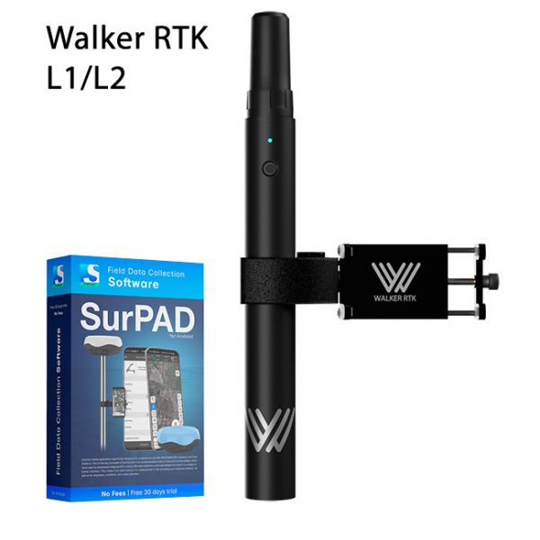
Walker RTK with professional surveying mobile application SurPAD is the ideal kit for surveying, as well as for 3D surveying manholes, sidewalks, curbs, steps, landscaping, mapping trenches, and underground utilities such as electricity, gas, water, and sewer lines
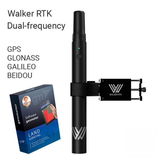
The Walker RTK with geometer mobile app is a compact and easy-to-use ideal tool for 3D surveying manholes, sidewalks, curbs, steps, landscaping, mapping trenches, and underground utilities such as electricity, gas, water, and sewer lines.
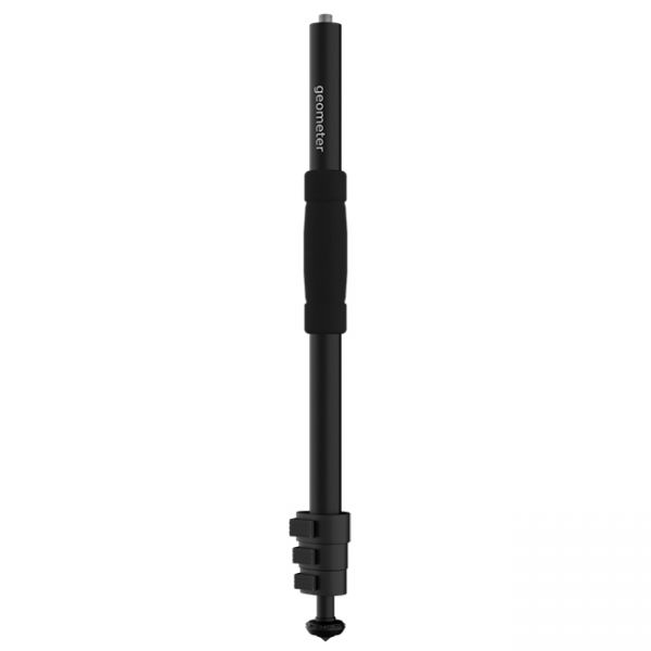
A telescopic aluminum survey pole TS180 is designed for comfortable surveying. The four-section construction delivers reliable stability with the help of solid flip locks.


