What is GNSS RTK and how does it work?
26.05.2023In this article, we will explain RTK technology and how it differs from standard GNSS positioning and other high-accuracy methods like PPP (Precise Point Positioning). We’ll explore the key role of base stations and reference networks in RTK. Finally, we’ll outline the hardware and software requirements for using RTK in various applications.
GNSS RTK is a way of getting very accurate location information from satellites in real-time. GNSS stands for Global Navigation Satellite System and includes different systems like GPS (US), GLONASS (Russia), Galileo (EU), and BeiDou (China).
RTK uses data from a network of fixed stations that know their exact positions and send corrections for satellite signals. A mobile receiver, such as a surveying instrument or an autonomous car, can use these corrections to calculate its own precise position relative to the fixed stations.
What is the difference between RTK and standard GNSS positioning?
RTK (Real-Time Kinematic) and standard GNSS (Global Navigation Satellite System) positioning are two techniques for obtaining position information from satellite-based systems. They differ in the following aspects:
Accuracy: Standard GNSS positioning, also known as standalone or single-point positioning, provides positional accuracy in the order of several meters. This is adequate for many general applications such as navigation, tracking, and location-based services.
RTK is a differential GNSS technique that provides positional accuracy in the order of centimeters. This is required for applications that need higher precision, such as land surveying, construction, agriculture, logistics, robotics and autonomous vehicle navigation.
Methodology: Standard GNSS positioning determines the user’s position by measuring the time of flight of signals from satellites to the receiver. The accuracy of this method is influenced by various factors, such as satellite clock errors, atmospheric delays, and multipath errors.
RTK improves the accuracy of GNSS positioning by using a network of fixed reference stations with known positions. These stations continuously observe satellite signals and compute corrections for the errors mentioned above. A mobile RTK receiver applies these corrections in real-time to enhance its positional accuracy.
Therefore, the main difference between RTK and standard GNSS positioning is that RTK achieves a higher level of accuracy by using real-time corrections from reference stations, while standard GNSS positioning depends only on satellite signals and provides less accurate positioning information.
What is required to use RTK?
RTK (Real-Time Kinematic) requires specific hardware and software components to enable high-precision positioning. Here is an overview of the typical requirements:
Hardware:
- GNSS Receiver: An RTK-capable receiver that can process satellite signals and correction data. It should support multiple GNSS (Global Navigation Satellite System) constellations (GPS, GLONASS, Galileo, BeiDou) and may be single-frequency, dual-frequency or multi-frequency, with the latter providing better performance. We recommend inexpensive GNSS RTK surveying equipment.
- Antenna: A high-quality antenna that can receive satellite signals with minimal interference and multipath errors. It should match the frequency bands supported by the receiver and the application requirements.
- Base Station: A fixed reference station or access to a network of reference stations. It should have a known position and be equipped with an RTK-capable receiver and antenna to transmit real-time correction data.
- Data Communication: A method to transmit correction data from the base station to the rover (mobile) receiver in real-time. It can be radio modems, cellular modems, or internet-based solutions like NTRIP (Networked Transport of RTCM via Internet Protocol).
Software:
- RTK Processing: Software that can process GNSS measurements and correction data. It should be compatible with the hardware. It can be provided by the receiver manufacturer or sourced from third-party vendors.
- Data Logging and Analysis: Software that can log, post-process, or analyze data. It can include GIS (Geographic Information System) software, surveying software, or other specialized tools tailored to specific needs, such as geometer SCOUT, SurPad, X-Survey etc.
These are the basic hardware and software components required to implement RTK.
How base stations and reference networks provide RTK corrections
Base stations and reference networks are key components of RTK (Real-Time Kinematic) that provide the correction data required for high-precision positioning. Here’s how they work:
Base Station: A base station, or a reference station, is a fixed GNSS receiver with a known position. It monitors GNSS satellite signals and computes real-time corrections for various errors that affect positioning accuracy. These errors include satellite orbit and clock errors, atmospheric delays, and multipath effects.
The base station sends these corrections to the rover (mobile) receiver, which applies them to improve its positional accuracy. The accuracy of the RTK solution depends largely on the quality and distance of the corrections from the base station. Generally, shorter distances (less than 20-30 km) result in higher accuracy.
Reference Networks: A reference network is a system of multiple base stations that cover a larger geographic area. The stations in a reference network collaborate to generate more accurate and reliable correction data. This data can be used by multiple rover receivers, making it a more efficient solution for applications that need RTK corrections over large areas or for multiple users.
Reference networks can be run by public organizations, private companies, or both. They use advanced software to process the data from all base stations, considering factors like the spatial distribution of the stations and the rover’s position. The corrections are then sent to the rover receivers using various communication methods, such as radio, cellular networks, or the internet (e.g., via NTRIP).
To sum up, base stations and reference networks are vital parts of the RTK system, as they provide the real-time correction data needed to achieve centimeter-level positioning accuracy. While a single base station can work in some applications, reference networks offer a more scalable and efficient solution for larger areas or multiple users.
RTK (Real-Time Kinematic) vs PPP (Precise Point Positioning): A Comparison
RTK and PPP are both high-precision GNSS (Global Navigation Satellite System) positioning techniques, but they have different methodologies, accuracy, convergence time, and infrastructure requirements. Here is how they differ:
Methodology: RTK is a differential GNSS technique that uses real-time corrections from a nearby base station or reference network to achieve centimeter-level accuracy. It corrects for errors such as satellite orbit and clock errors, atmospheric delays, and multipath effects. RTK depends on the spatial correlation of these errors between the base station and the rover receiver.
PPP is a standalone GNSS technique that does not need a nearby base station. It uses precise satellite orbit and clock information, as well as global atmospheric models, to correct for the errors. PPP can work with single or dual-frequency receivers and can provide high-precision positioning anywhere in the world without local reference stations.
Accuracy: RTK typically achieves better accuracy than PPP. RTK can provide centimeter-level accuracy, while PPP can provide sub-decimeter to centimeter-level accuracy depending on the implementation and the correction data availability.
Convergence Time: RTK generally has a faster convergence time, often providing high-precision results within seconds to a few minutes. This makes it suitable for real-time applications. PPP usually has a longer convergence time, sometimes taking several minutes to hours to reach its full accuracy potential. This makes PPP less suitable for real-time applications that need immediate high-precision results.
Infrastructure Requirements: RTK requires a nearby base station or access to a reference network, which can involve additional costs and maintenance. This also limits RTK’s performance in areas where reference station coverage is sparse or nonexistent.
PPP does not require local reference stations, which can make it more accessible and cost-effective, especially in remote areas. However, PPP relies on the availability of precise correction data, which is typically provided by global or regional services and may involve subscription fees.
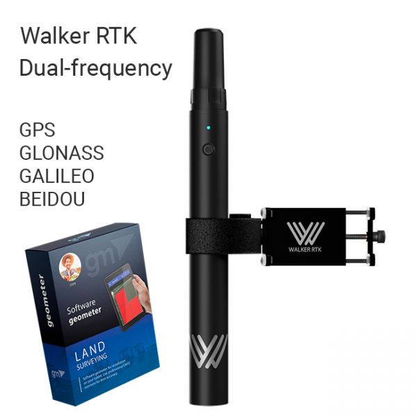
The Walker RTK with geometer mobile app is a compact and easy-to-use ideal tool for 3D surveying manholes, sidewalks, curbs, steps, landscaping, mapping trenches, and underground utilities such as electricity, gas, water, and sewer lines.
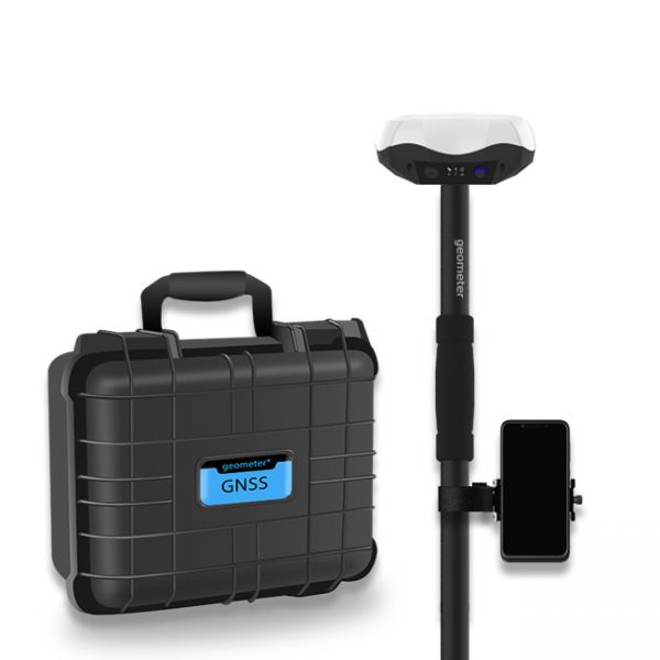
Multi-frequency GNSS GM PRO L KIT. The receiver has 965 channels, receives a signal from satellite systems GPS, GLONASS, GALILEO, BEIDOU, QZSS, IRNSS. Receiver works with L1, L2, L5 bands. The receiver is designed for performing of surveying works, such as: stakeout, determination of the exact boundaries of sites, land surveying, field area measurement, stake out points, stake out lines, GIS survey, stakeout roads, cross-section measurement, slope staking, power line survey, height control and other functions. The kit comes in a sealed shockproof box.
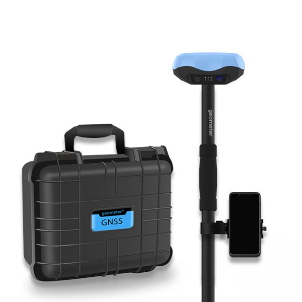
Special kit for positioning with centimeter RTK accuracy and obtaining high-precision coordinates. The set consists of a dual-frequency GNSS receiver GM PRO model U, rugged smartphone with geodetic software installed.


