GNSS RTK (Real-Time Kinematic) technology enables high-precision positioning using GNSS receivers, making it indispensable in many fields such as agriculture, surveying, construction, and other areas where centimeter-level accuracy is crucial. However, sometimes during the RTK setup process, issues may arise: the receiver may not switch from DGNSS to RTK mode, or corrections may not be received properly.
In this article, we will explore the main causes of such problems and provide troubleshooting tips. This guide will help you quickly set up the system and obtain accurate data for your work.
1. NTRIP Server Credentials: Ensure that the NTRIP server information (IP address, port, username, password, and mountpoint) is entered correctly. Sometimes an incorrect mountpoint may prevent the receiver from switching to RTK mode. Check the distance between the Rover and the Base station; the optimal distance is considered to be within 20-30 km. If you are using a paid subscription for GNSS corrections, you need to ensure that your NTRIP subscription is active and providing corrections for your region. If you are using your own Base station, make sure it is properly configured and has a stable connection to the Internet.
2. Correction Signal Quality: Ensure that you have a stable internet connection on the device to receive correction data from the NTRIP server. A weak or unstable signal may prevent the system from switching to RTK Fixed mode. If you see the status "4G" or "LTE" on your phone, it indicates the network status, not the availability of Internet service at that moment. To check the Internet connection, try entering a search query in a search engine and note how quickly the page loads. It is not recommended to reopen pages that were previously loaded, as cached files of those pages may already be stored locally on the phone.
Another way to check the quality of the Internet connection is by using Speedtest. Here, you should pay attention not only to the download speed but also to the Ping parameter:
- Good Ping: less than 20 ms
- Average Ping: 20-50 ms
- Poor Ping: more than 50 ms
If the Internet is working with delays, try changing the Internet service provider. To do this, have a backup SIM card from another mobile operator ready. Make sure you are receiving incoming data from the base station and that the correction age is no more than 1 second. Data transmission delays also prevent receiving corrections because the entire technology is based on real-time mode.
3. RTK Receiver Settings: Make sure your GNSS receiver is properly configured to receive RTK corrections. If you are connecting via Bluetooth, the receiver must transmit NMEA data via Bluetooth; the minimum set of parameters for obtaining RTK FIXED is the data stream GGA, RMC. Refer to your receiver’s documentation for proper setup.
4. Antenna Placement: Ensure that your antenna has a clear view of the sky, without obstructions such as trees or buildings. This can significantly affect satellite signal quality and the receiver’s ability to achieve RTK accuracy. Try to place the antenna at the highest point possible, and there should be no metal structures nearby.
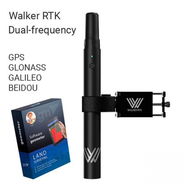
The Walker RTK with geometer mobile app is a compact and easy-to-use ideal tool for 3D surveying manholes, sidewalks, curbs, steps, landscaping, mapping trenches, and underground utilities such as electricity, gas, water, and sewer lines.
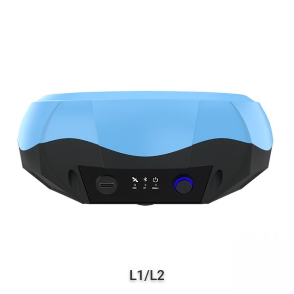
The "GM PRO U" GNSS RTK receiver is a dual-frequency (L1, L2) 184-channel RTK receiver that works simultaneously with several satellite systems and receives corrections in RTCM 3.X.X format. This receiver is compatible with any software. A new series of GM PRO mini receivers in a compact case.
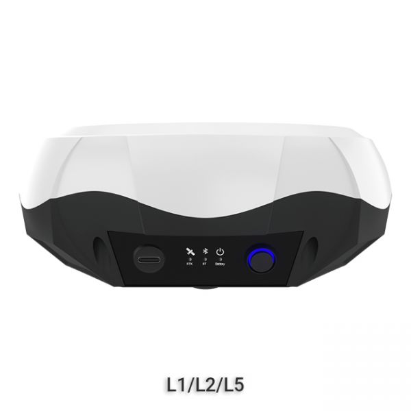
GNSS RTK receiver GM PRO L is a multi-frequency (L1, L2, L5) 965-channel receiver with an antenna that operates simultaneously with GPS, GLONASS, GALILEO, BeiDou, QZSS, IRNSS satellite systems and accepts corrections in the RTCM 3.X.X format. This receiver is designed to work with any software. Designed for professional use in surveying, agriculture, forestry and other industries where high accuracy is important.


