GNSS receivers and antennas, DGPS, RTK
In geodesy and construction, GNSS receivers and antennas play an important role in determining the exact coordinates and heights of objects. They allow you to perform accurate measurements, control the location of construction work, create digital models of the terrain and manage the construction process. This significantly improves the quality and accuracy of projects, reduces resource costs and reduces the risk of errors and inconsistencies.
In agriculture, GNSS receivers are used to optimize agricultural operations. They allow you to accurately determine the boundaries of fields, control the movement of agricultural machinery, optimally distribute resources (seeds, fertilizers, water) and monitor plant growth. It helps agricultural enterprises to increase yields, reduce costs and make production more sustainable and environmentally efficient.
GNSS receivers and antennas are used in geological and geophysical research. They allow you to determine the exact coordinates of geological objects, monitor seismic activity, carry out geodetic measurements and control the movement of earth's slopes. This contributes to a more accurate and safe study of geological processes, provides warnings about possible dangers and helps in the development of effective risk management strategies.
GNSS receivers are widely used in construction. They allow you to determine the exact coordinates of construction objects and control their location. For example, in the construction of roads and bridges, GNSS technologies are used for accurate measurements and control of surface irregularities. This helps to improve the accuracy and quality of construction work, reduce the cost of correcting errors and improve safety on construction sites.
In landscape design, GNSS RTK receivers play an important role in creating accurate plans and designs. They allow you to accurately determine the boundaries of plots, the contours of landscape elements and the location of plants. Thanks to this, designers can create more accurate and spatially coherent designs, taking into account the topography of the area and natural features. This contributes to the creation of attractive and functional landscape objects.
In forestry, GNSS receivers are used to monitor and manage forest resources. They make it possible to determine the boundaries of forest areas, carry out an inventory of wood resources, control logging and assess the state of forest ecosystems. This helps improve planning and management of forest resources, prevent illegal logging and promote sustainable forestry.
In the mining industry, GNSS receivers play an important role in various processes. They are used to determine the location of mines, develop mines and control mining operations. Thanks to GNSS technologies, it is possible to control geodetic measurements and increase the safety of workers. This contributes to more efficient and safer extraction of minerals.
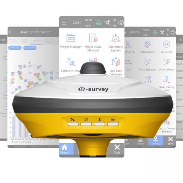
The GNSS RTK receiver eRTK10 mini is a high-performance network receiver with IMU and camera, designed to boost your productivity beyond expectations. This GNSS base solution supports multiple frequencies from various satellite constellations, ensuring enhanced positioning accuracy.
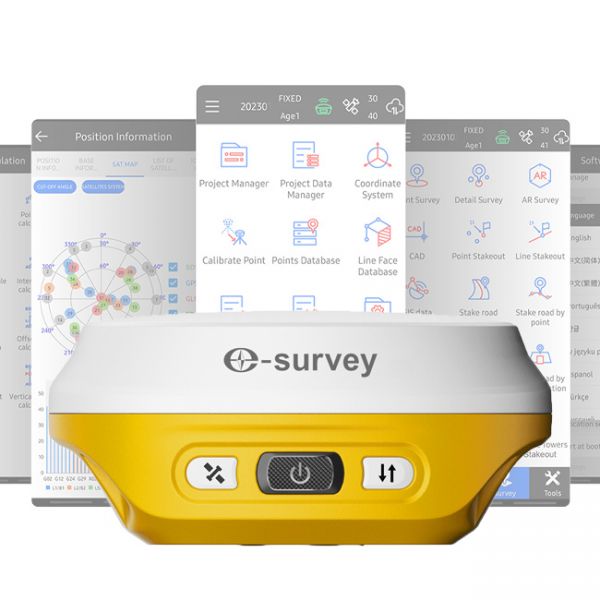
eSurvey E500 (1408-channel version) is a modern multi-channel GNSS RTK receiver that delivers outstanding positioning accuracy and stability.
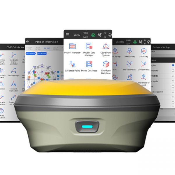
The eSurvey E200 is a high-performance network receiver with tilt compensation (IMU). It features an upgraded GNSS module with 1408 channels to boost your productivity and exceed expectations. This GNSS rover connects both to GNSS correction networks via built-in 4G and through radio communication. It supports multiple frequencies from different satellite constellations, ensuring enhanced positioning accuracy.
The GNSS receiver X2 is a high-tech satellite signal receiver equipped with a Bluetooth/BLE module for wireless communication. This receiver specializes in enhancing the sensitivity and quality of GNSS signals, significantly improving positioning accuracy in agricultural navigation systems such as parallel driving systems.
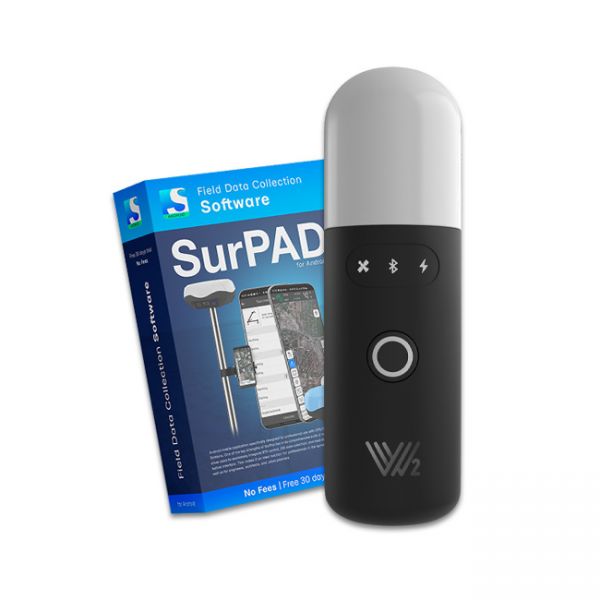
The Walker 2 receiver is an exceptionally lightweight and compact GNSS RTK device, weighing only 220 grams, designed for convenient use in any field conditions. Its sealed and shock-resistant housing withstands drops from heights up to 1.6 meters, ensuring reliability on construction sites, in agriculture, and in challenging terrain.
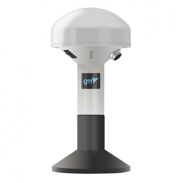
The single-frequency GNSS receiver "GM PRO S" of improved accuracy on a free satellite signal. A new series of receivers in a compact GM PRO mini body. The receiver has 335 channels for communication with satellites. Works with all satellite systems: GPS, GLONASS, GALILEO, BEIDOU, QZSS and can work in any country in the world. It can be used in geodesy, agriculture, forestry and other industries where high accuracy is important.
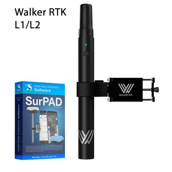
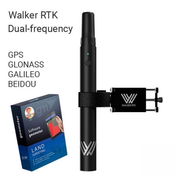
Walker RTK with professional surveying mobile application SurPAD is the ideal kit for surveying, as well as for 3D surveying manholes, sidewalks, curbs, steps, landscaping, mapping trenches, and underground utilities such as electricity, gas, water, and sewer lines
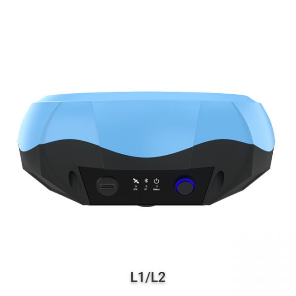
The "GM PRO U" GNSS RTK receiver is a dual-frequency (L1, L2) 184-channel RTK receiver that works simultaneously with several satellite systems and receives corrections in RTCM 3.X.X format. This receiver is compatible with any software. A new series of GM PRO mini receivers in a compact case.
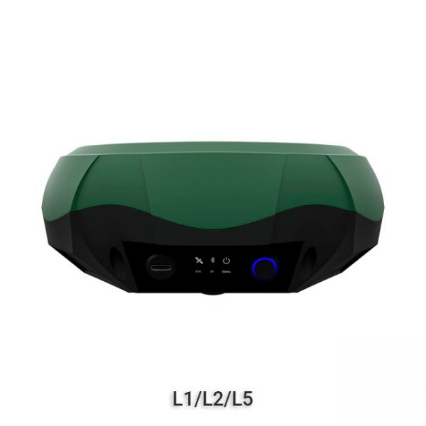
GNSS RTK receiver GM PRO M is a multi-frequency (L1, L2, L5) 1408-channel receiver with an antenna that operates simultaneously with GPS, GLONASS, GALILEO, BeiDou, QZSS, IRNSS satellite systems and accepts corrections in the RTCM 3.X.X format. This receiver is designed to work with any software. Designed for professional use in surveying, agriculture, forestry and other industries where high accuracy is important.
GNSS RTK receiver GM PRO L is a multi-frequency (L1, L2, L5) 965-channel receiver with an antenna that operates simultaneously with GPS, GLONASS, GALILEO, BeiDou, QZSS, IRNSS satellite systems and accepts corrections in the RTCM 3.X.X format. This receiver is designed to work with any software. Designed for professional use in surveying, agriculture, forestry and other industries where high accuracy is important.
The Walker RTK with geometer mobile app is a compact and easy-to-use ideal tool for 3D surveying manholes, sidewalks, curbs, steps, landscaping, mapping trenches, and underground utilities such as electricity, gas, water, and sewer lines.
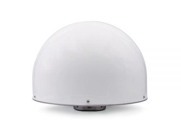
GM04CRA Choke Ring GNSS Antenna has an impressive design, offering excellent multipath suppression and consistent millimeter accuracy. Its phase center is consistently stable, and covers all frequencies! Combining high gain, multi-system compatibility, and extreme reliability, this four-star full-frequency reference station antenna is sure to meet all your needs.
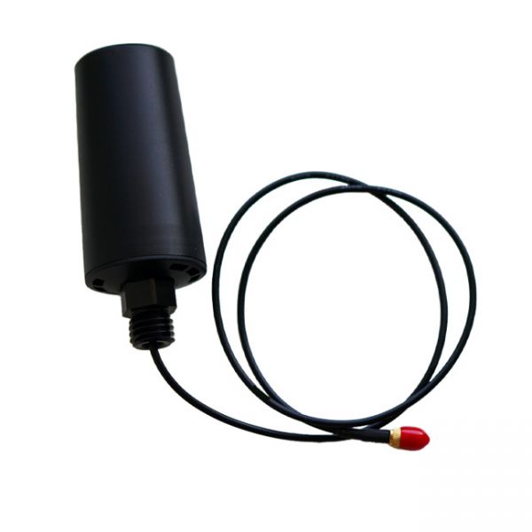
Multi-frequency (L1, L2, L5) helix antenna H20 is a high performance GNSS antenna designed for high-precision positioning services, with a stable phase center that maintains high gain at lower elevation positions, providing excellent satellite signal tracking. The antenna has a compact size, lightweight, and low power consumption, which can effectively reduce the load on the drone (UAV) and extend the battery life of the device.
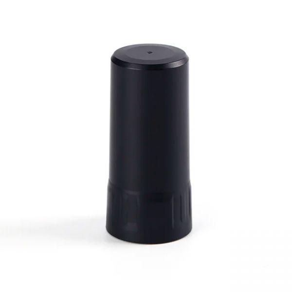
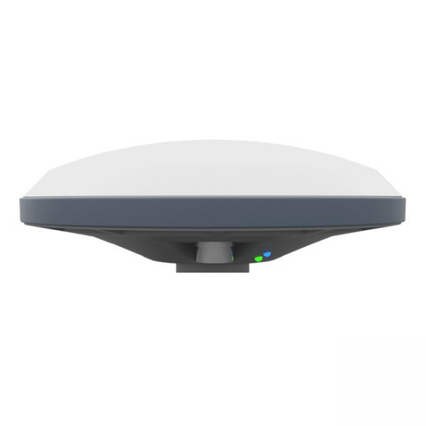
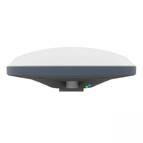
Dual-frequency (L1, L2) helical antenna H1 is a high performance GNSS antenna designed for high-precision positioning services, with a stable phase center that maintains high gain at lower elevation positions, providing excellent satellite signal tracking. The antenna is small in size, light in weight and low in power consumption, which can effectively reduce the load of the device and improve the battery life of the device.
Dual-frequency (L1, L2) helical antenna H1 is a high performance GNSS antenna designed for high-precision positioning services, with a stable phase center that maintains high gain at lower elevation positions, providing excellent satellite signal tracking. The antenna is small in size, light in weight and low in power consumption, which can effectively reduce the load of the device and improve the battery life of the device.
The AlphaGeo GeoPuls is a high-precision RTK receiver that combines advanced GNSS technology with laser measurement, delivering a new level of efficiency in geodetic work.
Dual-frequency GM SMART GNSS RTK receiver is a new generation receiver for working with any navigation programs and the ability to increase accuracy up to 1 cm. It has 698 channels to work with all available satellite systems: GPS, GLONASS, GALILEO, BEIDOU, QZSS, IRNSS, SBAS.
The updated version of the GNSS receiver GM SMART now supports Precise Point Positioning (PPP) technology from the Galileo HAS satellite system. This next-generation receiver is compatible with any navigation software, providing high accuracy and reliable positioning. GM SMART supports RTK mode on L1/L2/L5 frequencies, allowing for real-time corrections to achieve centimeter-level accuracy.
GM SMART GNSS receiver is a new generation receiver for working with any navigation programs and the ability to increase accuracy up to 1 cm. It has 335 channels to work with all available satellite systems: GPS, GLONASS, GALILEO, BEIDOU, QZSS, IRNSS, SBAS.
GM Spike GNSS receiver is an external receiver with a Bluetooth module, designed to improve the sensitivity and quality of the GPS signal and increase the accuracy of geolocation.
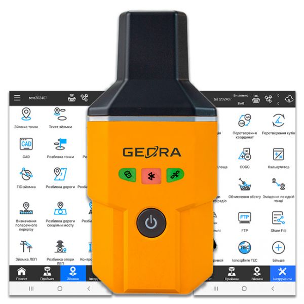
The GEORA GNSS RTK receiver is a very compact and lightweight geodetic GNSS device. It has a sealed and impact-resistant body and can withstand a drop from a height of 1.6 meters
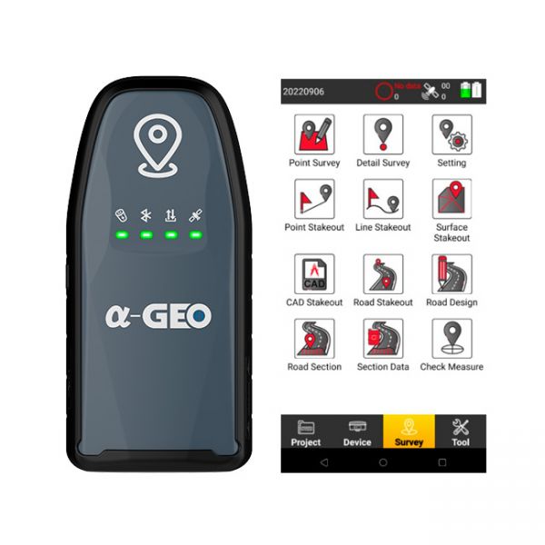
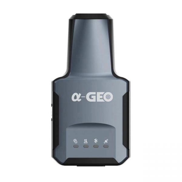
The compact GNSS RTK receiver AlphaGEO L2 with the SurPro software for Android.
.png)
Geometer company offers universal GNSS receivers and RTK receivers for agriculture, construction, forestry, utilities, gas&oil, land management and other industries.
GNSS receivers and antennas are used to improve the quality and sensitivity of satellite signals. The use of high-precision GNSS receivers in agriculture will allow you to perform work more accurately, reduce flaws and errors. GNSS and RTK receivers have also found practical application in civil engineering, road line marking, forest planning and monitoring, and resolving controversial issues in land allocation.


