Land Surveying Software, Geodetic software
Land Surveying Software refers to specialized computer programs designed to assist in geodetic and surveying tasks. This type of software is crucial for professionals engaged in measuring and mapping the Earth's surface. It is used for a wide range of applications, including land surveying, topographical mapping, and construction project planning
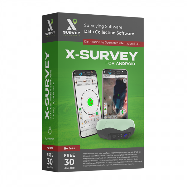
X-Survey Android software is a low-cost solution that will allow you to carry out professional geodetic services, work with points, measure distances, create electronic maps, stake-out, survey.
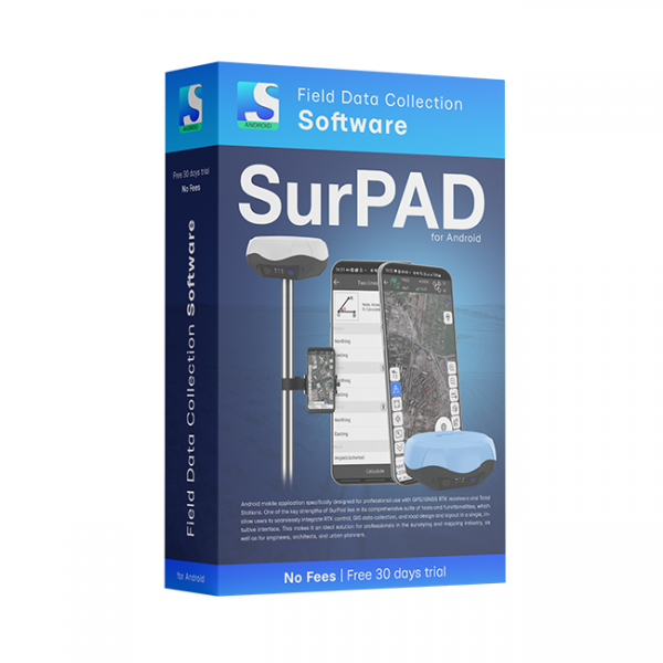
SurPAD 4.2 Android software is a low-cost solution that will allow you to carry out professional geodetic services, work with points, measure distances, create electronic maps, stake-out, survey.
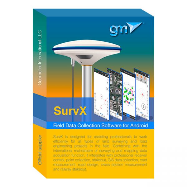
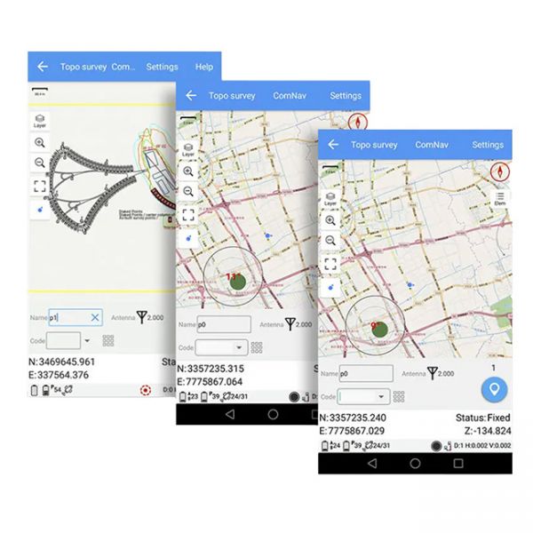
SurvX Android software is a low-cost solution that will allow you to carry out professional geodetic services, work with points, measure distances, create electronic maps, stake-out, survey.
A geodetic software application designed for working with GNSS equipment on Android-based devices.
Geodetic software is a specialized applications designed for surveying, mapping, and spatial data analysis. These tools are essential for professionals in the field of geodesy, offering advanced capabilities for processing and interpreting geospatial information. They enable accurate measurement and representation of the Earth's surface, facilitating tasks such as land surveying, construction layout, topographic mapping, and GIS data integration.
These software solutions often include features for data collection, processing, and visualization, supporting various surveying instruments and technologies like GPS, GNSS, total stations, and laser scanners. Users can conduct precise calculations for coordinates, distances, angles, and elevations, while also managing large datasets effectively.
With user-friendly interfaces, these programs allow for efficient workflow management, data sharing, and collaboration among team members. They cater to a wide range of applications, including civil engineering, environmental studies, urban planning, and resource management.
Geodetic software is continuously evolving, integrating the latest advancements in technology to provide more accurate, reliable, and efficient tools for geospatial professionals. Whether for academic research, government projects, or private sector undertakings, this software plays a pivotal role in shaping our understanding and management of the physical world.


