Guide to GNSS RTK: Precision Positioning Equipment and Surveying Kits
29.06.2023GNSS RTK (Real-Time Kinematic) is an advanced technology that provides high-precision real-time positioning. In this article, we will look at the basics of GNSS RTK, the different types of equipment and surveying kits, and their advantages and applications in various industries.
What is GNSS RTK?
GNSS RTK is a technology that uses the Global Navigation Satellite System (GNSS) to achieve high-precision real-time positioning. It is based on a combination of signals from satellite systems such as GPS, GLONASS, Galileo and BeiDou, and provides instant correction of the position on the terrain.
Advantages of GNSS RTK:
1. High accuracy: One of the main advantages of GNSS RTK is high positioning accuracy. The technology allows you to achieve accuracy down to a few centimeters, which is a critical factor in many industries. High accuracy provides more accurate measurements, allows you to build more accurate terrain models and improves the quality of geodetic and construction works.
2. Real-time mode: GNSS RTK provides real-time positioning, which means users can receive location data instantly. This is especially important for tasks that require prompt feedback and instant correction. The real-time mode allows you to quickly respond to changes in the environment and increases work productivity.
3. High update rate: GNSS RTK provides high update rate of position data. Thanks to this, users can receive information about their location with a high frequency, which allows more precisely to track the movement of objects, perform dynamic positioning and improve the accuracy of navigation.
4. Convenience and portability: Modern GNSS RTK receivers are becoming increasingly compact, lightweight and portable. This makes them convenient to use in the field, especially in hard-to-reach or remote locations. Users can easily move and take measurements in different locations without the need to install complex equipment.
5. Many applications: GNSS RTK is widely used in many fields, including surveying, construction, agriculture, mining, transportation, environmental, and others. GNSS RTK capabilities range from creating precise geodetic networks to optimizing field management, construction control, vehicle positioning and natural resource monitoring.
6. Compatibility with other technologies: GNSS RTK can be used in conjunction with other technologies and tools, such as geographic information systems (GIS), Earth remote sensing systems (EARS), aerial photogrammetry, and others. This allows expanding the capabilities and applications of GNSS RTK by integrating it with other geospatial data collection and processing tools.
The advantages of GNSS RTK make it an indispensable tool for precise positioning and geodetic work. Due to its high accuracy, responsiveness and many applications, GNSS RTK is becoming more and more popular in many industries and contributes to increasing the efficiency and reliability of operations.
GNSS RTK equipment:
There is a wide range of GNSS RTK equipment designed for different tasks and budgets. Here are some key components that are included in GNSS RTK geodetic kits:
- Base station: The GNSS RTK base station serves as a source of correction for the rover and performs the function of collecting data from satellites and their further processing. It is usually installed at a known point and provides accurate coordinates for other receivers.
- Rover: A GNSS RTK rover receives signals from a base station and uses them to determine its position with high accuracy. Rovers can be portable devices integrated into geodetic equipment or on vehicles.
- Correction and communication means: Various means of communication, such as radio, cellular, or the Internet, are used to transmit correction signals between the base station and the rover. In addition, additional tools and sensors can be used to monitor and analyze the data.
Application of GNSS RTK:
GNSS RTK is used in various fields:
- Surveying and Cartography: GNSS RTK allows surveyors and cartographers to create highly accurate geodetic networks, perform land cadastral work and produce accurate terrain maps.
- Construction and Engineering: GNSS RTK is used to monitor the accuracy of construction work, position construction equipment and perform geodetic measurements on construction sites.
- Precision Agriculture: GNSS RTK helps agricultural businesses optimize field management, precise fertilizer application and irrigation planning.
- Geology and Mining: In the geology and mining industry, GNSS RTK is used to create accurate terrain models, perform geological and geotechnical surveys, and plan and control surveying operations in mines and mines.
- Transport and logistics: GNSS RTK is used for precise positioning of vehicles, monitoring and optimization of routes, control of freight transport and management of logistics operations.
- Energy: In the energy industry, GNSS RTK is used for positioning and monitoring the construction of energy facilities, such as wind farms and solar farms, as well as for the maintenance and monitoring of energy infrastructure.
- Ecology and conservation: GNSS RTK is used in ecological and conservation research, for example, to monitor and map changes in vegetation cover, assess biodiversity and monitor the state of ecosystems.
- Civil engineering and municipal planning: GNSS RTK is used for the positioning of civil engineering objects such as roads, bridges and buildings, as well as for the development and control of municipal development plans for cities and territories.
In each of these fields, GNSS RTK provides high positioning accuracy and improves work efficiency, increasing the quality and reliability of various tasks.
GNSS RTK is a powerful tool for real-time, high-accuracy positioning. With the development of technology and the availability of equipment, GNSS RTK is becoming more popular and widely used in various industries. Selecting the right equipment and accessories depends on your needs and budget, and using the right equipment can greatly increase the efficiency of your work, ensuring high positioning accuracy and reliability.
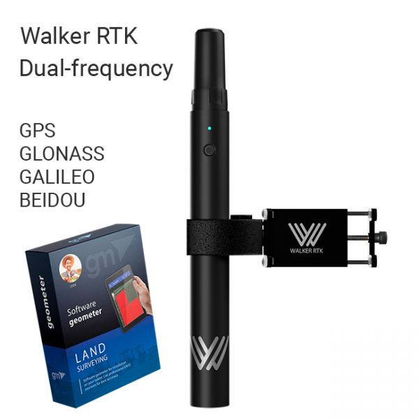
The Walker RTK with geometer mobile app is a compact and easy-to-use ideal tool for 3D surveying manholes, sidewalks, curbs, steps, landscaping, mapping trenches, and underground utilities such as electricity, gas, water, and sewer lines.
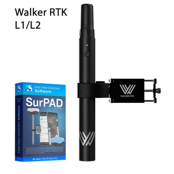
Walker RTK with professional surveying mobile application SurPAD is the ideal kit for surveying, as well as for 3D surveying manholes, sidewalks, curbs, steps, landscaping, mapping trenches, and underground utilities such as electricity, gas, water, and sewer lines
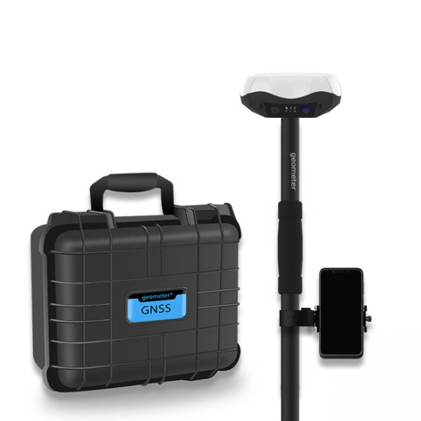
Multi-frequency GNSS GM PRO L KIT. The receiver has 965 channels, receives a signal from satellite systems GPS, GLONASS, GALILEO, BEIDOU, QZSS, IRNSS. Receiver works with L1, L2, L5 bands. The receiver is designed for performing of surveying works, such as: stakeout, determination of the exact boundaries of sites, land surveying, field area measurement, stake out points, stake out lines, GIS survey, stakeout roads, cross-section measurement, slope staking, power line survey, height control and other functions. The kit comes in a sealed shockproof box.


