GNSS RTK Surveying Equipment Sets
Welcome to the section dedicated to GNSS RTK surveying equipment sets. Here you will find a wide range of high-precision GNSS RTK equipment essential for surveying, topography, land management, boundary surveying, and determining exact plot boundaries.
Our surveying equipment sets provide high accuracy and reliability, allowing you to perform even the most challenging tasks with maximum efficiency. The modern technologies used in our GNSS RTK devices ensure a high level of measurement accuracy and stability, which is especially important for topography and land management.
One of our key focuses is boundary surveying equipment. Our GNSS RTK receivers allow you to determine exact plot boundaries with minimal error, which is critical for land management tasks. With our high-precision systems, you can be confident in the accuracy of the data obtained.
Geometer International LLC is proud to offer equipment of its own production. This allows us to control quality at every stage of production and provide high-precision GNSS RTK systems at prices significantly lower than market prices. As a result, our customers receive reliable surveying equipment that combines high performance and affordability.
Our range includes both classic GNSS RTK receivers and compact RTK devices. The latter are especially convenient for mobile teams that need compact yet powerful RTK equipment at hand. Some of our GNSS RTK devices are equipped with a tilt compensation function (built-in IMU sensor), which greatly simplifies workflows and allows for accurate data collection without the need to level the pole.
Our GNSS RTK equipment sets are the perfect solution for professionals who value quality, reliability, and precision. We continuously improve our products, considering the needs and feedback of our customers to offer the best solutions for your surveying tasks.
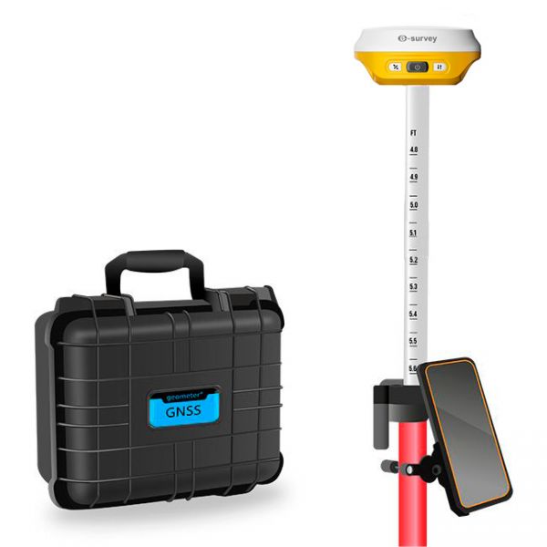
Multifrequency Geodetic GNSS RTK e200 KIT is a high-performance network receiver designed to exceed your productivity expectations. This entry-level GNSS solution supports multiple frequencies from various satellite constellations, ensuring enhanced positioning accuracy.
Multifrequency Geodetic GNSS RTK eRTK10 mini KIT is a high-performance network receiver designed to exceed your productivity expectations. This entry-level GNSS solution supports multiple frequencies from various satellite constellations, ensuring enhanced positioning accuracy.
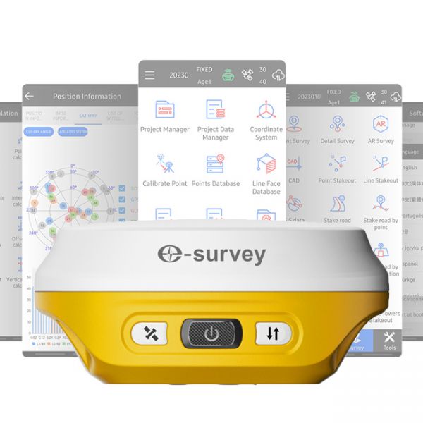
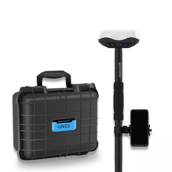
The GNSS RTK receiver eRTK10 mini is a high-performance network receiver with IMU and camera, designed to boost your productivity beyond expectations. This GNSS base solution supports multiple frequencies from various satellite constellations, ensuring enhanced positioning accuracy.
GNSS RTK Kit eSurvey E500 (1408-channel version) is a state-of-the-art multi-channel GNSS RTK solution that delivers outstanding positioning accuracy and stability.
eSurvey E500 (1408-channel version) is a modern multi-channel GNSS RTK receiver that delivers outstanding positioning accuracy and stability.
The eSurvey E200 is a high-performance network receiver with tilt compensation (IMU). It features an upgraded GNSS module with 1408 channels to boost your productivity and exceed expectations. This GNSS rover connects both to GNSS correction networks via built-in 4G and through radio communication. It supports multiple frequencies from different satellite constellations, ensuring enhanced positioning accuracy.
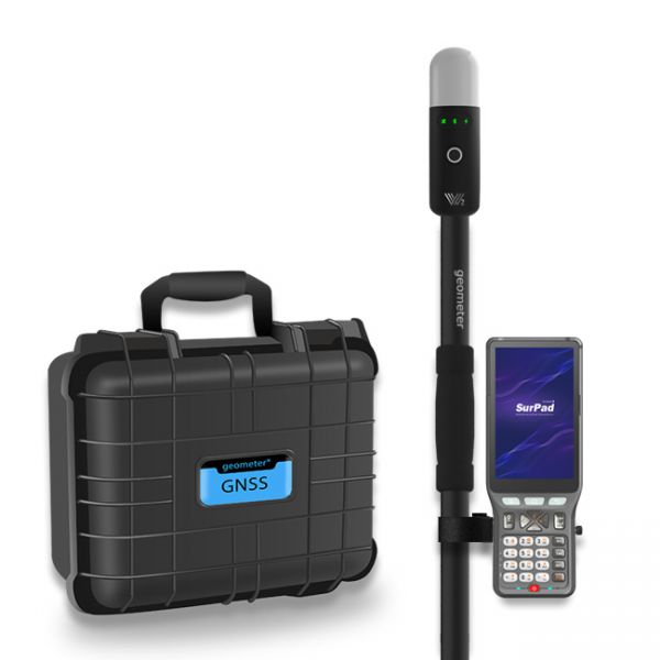
The Walker 2 IMU GNSS RTK kit with the P94 controller is a powerful and ultra-light geodetic GNSS RTK solution for professionals.
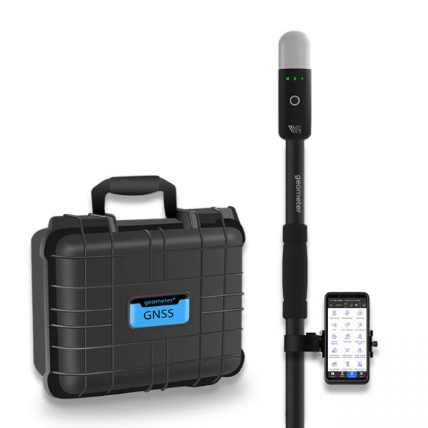
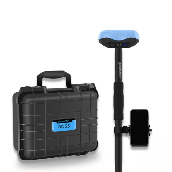
The Walker 2 IMU GNSS RTK Kit is a powerful and ultra-light GNSS RTK solution for professional measurements with centimeter-level accuracy. The Walker 2 IMU KIT comes in a shockproof case.
The Walker 2 receiver is an exceptionally lightweight and compact GNSS RTK device, weighing only 220 grams, designed for convenient use in any field conditions. Its sealed and shock-resistant housing withstands drops from heights up to 1.6 meters, ensuring reliability on construction sites, in agriculture, and in challenging terrain.
Multi-frequency GNSS GM PRO L KIT. The receiver has 965 channels, receives a signal from satellite systems GPS, GLONASS, GALILEO, BEIDOU, QZSS, IRNSS. Receiver works with L1, L2, L5 bands. The receiver is designed for performing of surveying works, such as: stakeout, determination of the exact boundaries of sites, land surveying, field area measurement, stake out points, stake out lines, GIS survey, stakeout roads, cross-section measurement, slope staking, power line survey, height control and other functions. The kit comes in a sealed shockproof box.
Special kit for positioning with centimeter RTK accuracy and obtaining high-precision coordinates. The set consists of a dual-frequency GNSS receiver GM PRO model U, rugged smartphone with geodetic software installed.
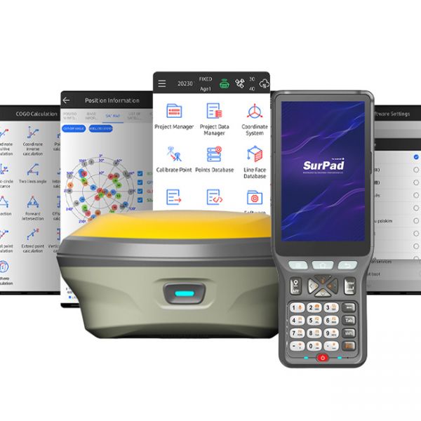
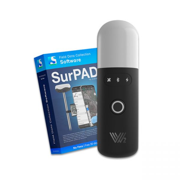
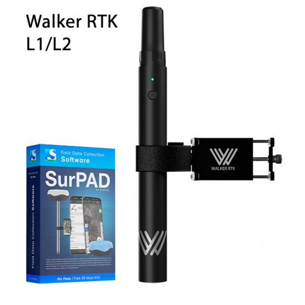
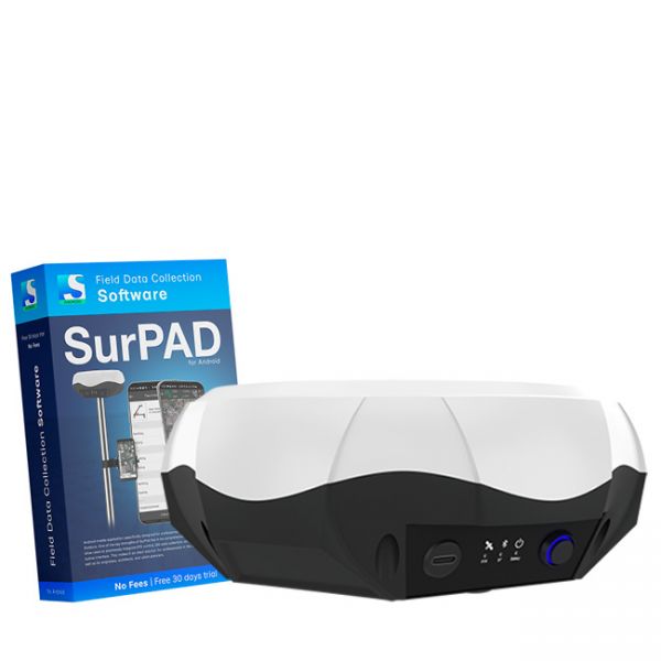
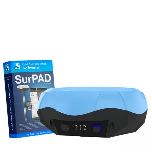
Walker RTK with professional surveying mobile application SurPAD is the ideal kit for surveying, as well as for 3D surveying manholes, sidewalks, curbs, steps, landscaping, mapping trenches, and underground utilities such as electricity, gas, water, and sewer lines
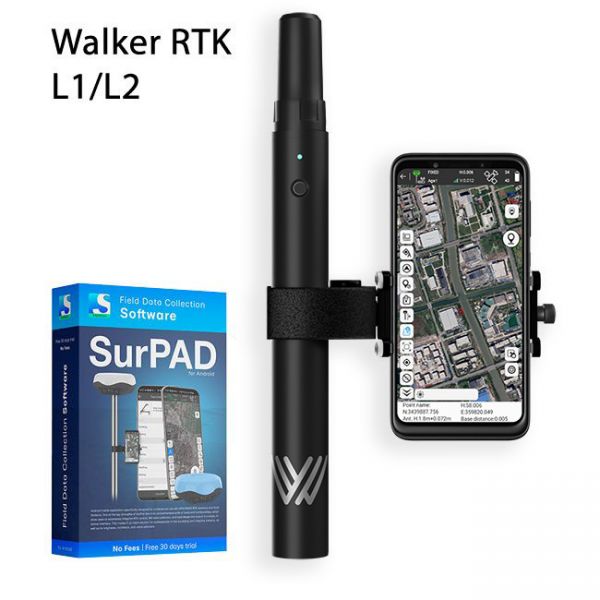
Full set of equipment Walker RTK with professional surveying mobile application SurPAD 4.2 is the ideal kit for surveying, as well as for 3D surveying manholes, sidewalks, curbs, steps, landscaping, mapping trenches, and underground utilities such as electricity, gas, water, and sewer lines
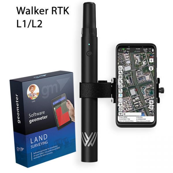
The complete Walker RTK equipment set with the Geometer SCOUT mobile app for Android is the perfect solution for point collection during infrastructure digitization in the WGS84 geographic coordinate system. It is also ideal for 3D surveying of inspection manholes, sidewalks, curbs, steps, landscape elements, as well as mapping trenches and underground utilities such as electrical, gas, water, and sewage networks.
Multi-frequency GNSS RTK receiver "GM PRO L" with surveying software SurPad 4.2 for staking-out points, staking-out properties, cadastral measurements and much more.
The AlphaGeo GeoPuls is a high-precision RTK receiver that combines advanced GNSS technology with laser measurement, delivering a new level of efficiency in geodetic work.
The Dual-frequency GNSS "GM PRO U" with SurPad 4.2 for Android works in frequency ranges L1, L2 has 184 channels for performing of surveying works, such as: stakeout, determining clear boundaries of areas, land surveying, field area measurement, stake out points, stake out lines, GIS survey, stakeout roads, cross-section measurement, slope staking, power line survey, height control and other functions.
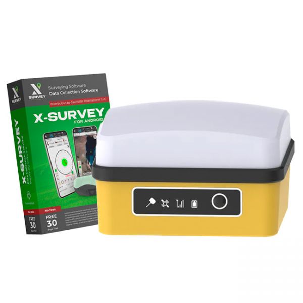
Cube RTK - This geodetic kit is designed for high-precision point staking, parcel demarcation, cadastral surveys, and topographic mapping with exceptional horizontal and vertical accuracy. The kit includes professional-grade equipment and advanced geodetic software, making it an affordable and effective choice for professionals.
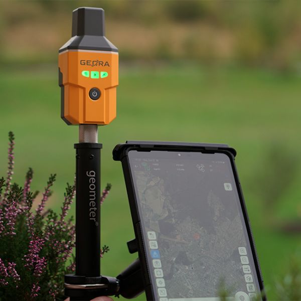
The GNSS RTK receiver GEORA IMU Tab KIT includes not only the compact GEORA GNSS RTK receiver with IMU and SurPad 4.2 software for Android but also a modern surveying tablet with all the necessary accessories for professional work.
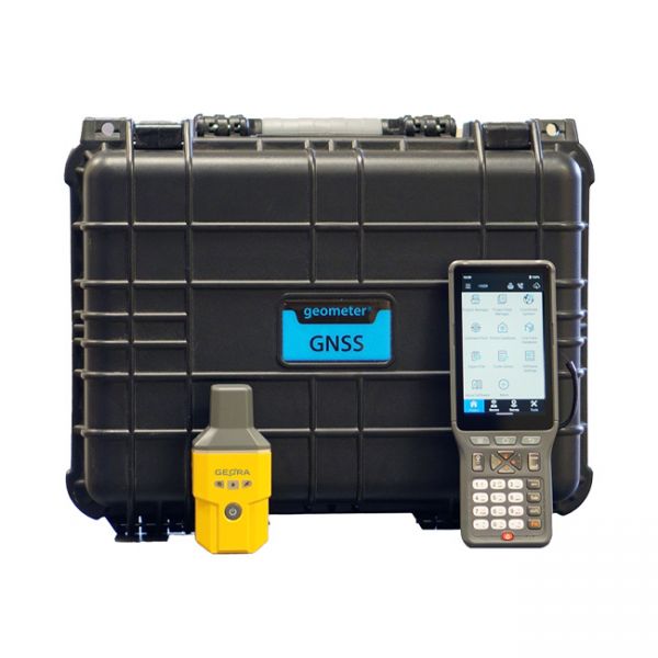
Surveying kit featuring the GNSS RTK receiver GEORA with a professional controller P94. The kit is delivered in a shockproof case or a portable bag.
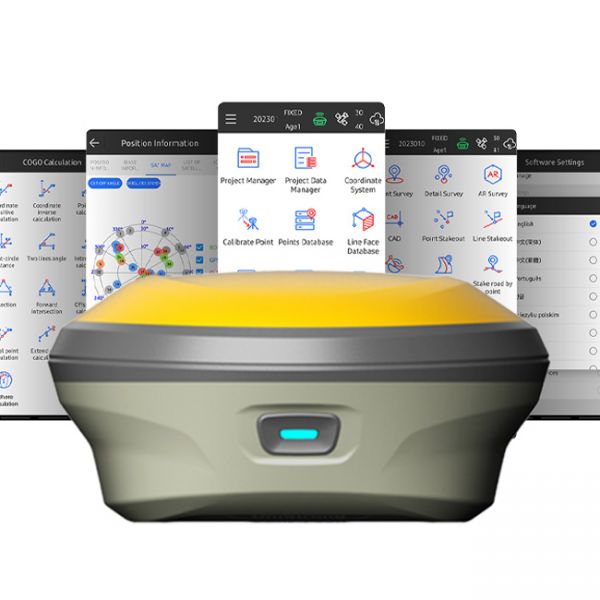
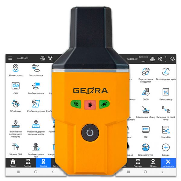
The GEORA GNSS RTK receiver is a very compact and lightweight geodetic GNSS device. It has a sealed and impact-resistant body and can withstand a drop from a height of 1.6 meters
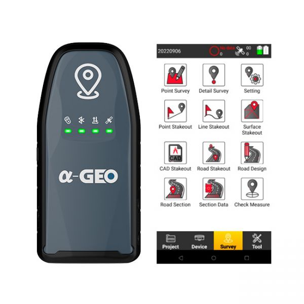
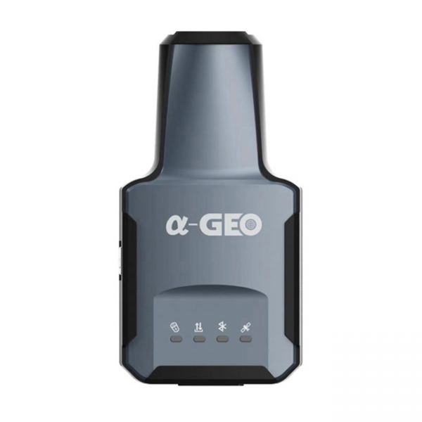
The compact GNSS RTK receiver AlphaGEO L2 with the SurPro software for Android.
Please note that our company also provides consultations and technical support on all issues related to the use of GNSS RTK equipment. Our specialists are always ready to help you choose the optimal equipment set for your needs and provide necessary assistance during its operation.
We are pleased to offer you the best GNSS RTK surveying equipment sets that will help you achieve high results in your work. We invite you to explore our range and choose the solutions that meet your professional needs and requirements.


