Devices
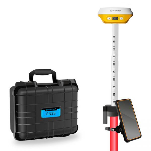
Multifrequency Geodetic GNSS RTK e200 KIT is a high-performance network receiver designed to exceed your productivity expectations. This entry-level GNSS solution supports multiple frequencies from various satellite constellations, ensuring enhanced positioning accuracy.
Multifrequency Geodetic GNSS RTK eRTK10 mini KIT is a high-performance network receiver designed to exceed your productivity expectations. This entry-level GNSS solution supports multiple frequencies from various satellite constellations, ensuring enhanced positioning accuracy.
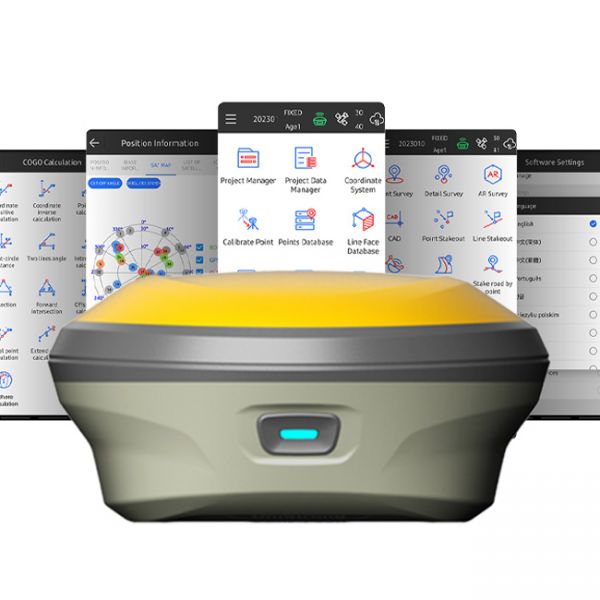
The GNSS RTK receiver eRTK10 mini is a high-performance network receiver with IMU and camera, designed to boost your productivity beyond expectations. This GNSS base solution supports multiple frequencies from various satellite constellations, ensuring enhanced positioning accuracy.
GNSS RTK Kit eSurvey E500 (1408-channel version) is a state-of-the-art multi-channel GNSS RTK solution that delivers outstanding positioning accuracy and stability.
eSurvey E500 (1408-channel version) is a modern multi-channel GNSS RTK receiver that delivers outstanding positioning accuracy and stability.
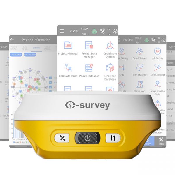
The eSurvey E200 is a high-performance network receiver with tilt compensation (IMU). It features an upgraded GNSS module with 1408 channels to boost your productivity and exceed expectations. This GNSS rover connects both to GNSS correction networks via built-in 4G and through radio communication. It supports multiple frequencies from different satellite constellations, ensuring enhanced positioning accuracy.
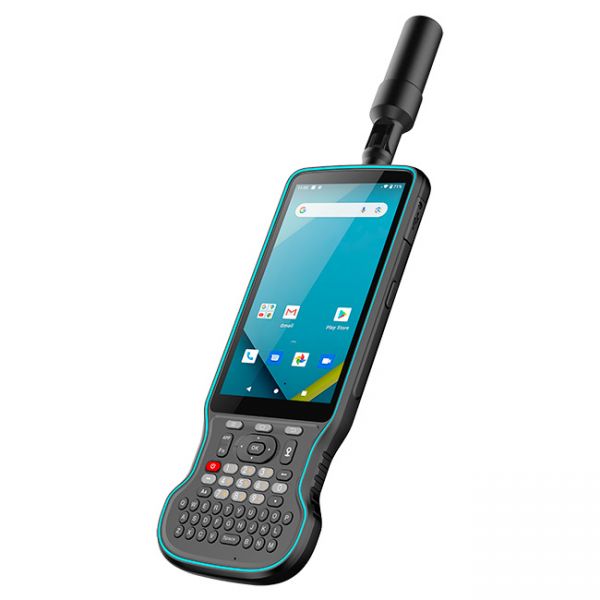
The Y55G field controller is a modern geodetic controller with an integrated GNSS RTK receiver. It features a multi-frequency 1408-channel board supporting L1, L2, and L5 bands. The device supports all major satellite systems: GPS, GLONASS, BeiDou, Galileo, QZSS, and IRNSS, ensuring stable positioning even in challenging environments.
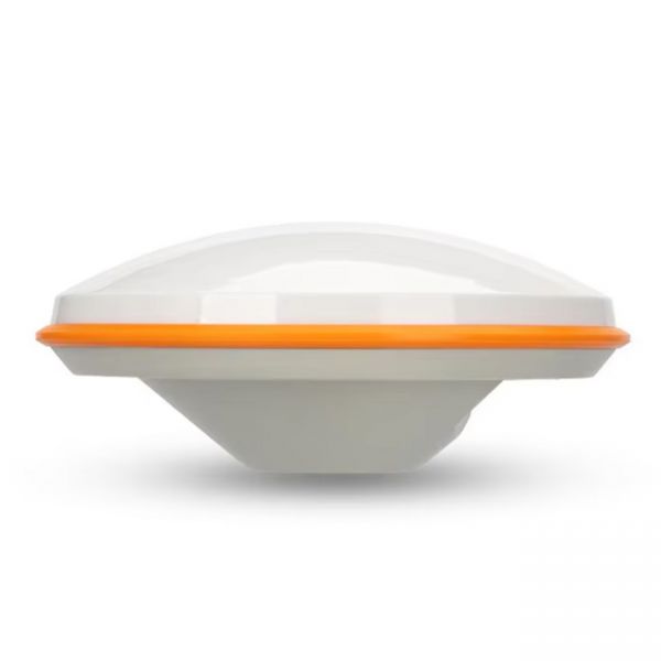
The GNSS receiver X2 is a high-tech satellite signal receiver equipped with a Bluetooth/BLE module for wireless communication. This receiver specializes in enhancing the sensitivity and quality of GNSS signals, significantly improving positioning accuracy in agricultural navigation systems such as parallel driving systems.
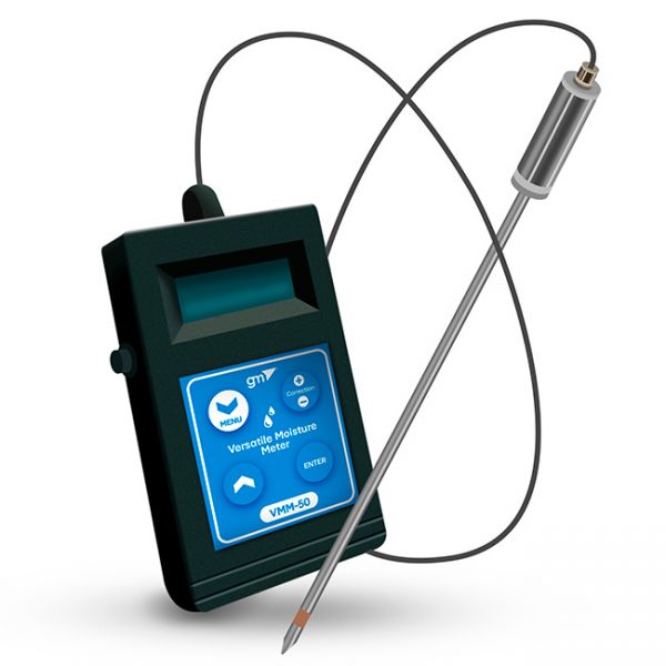
The VMM-50 Soil Moisture Meter is designed for diagnosing the relative humidity of various materials such as chernozem, clay, loam, sand, as well as peat, compost, straw, cereals, cement, concrete, and more
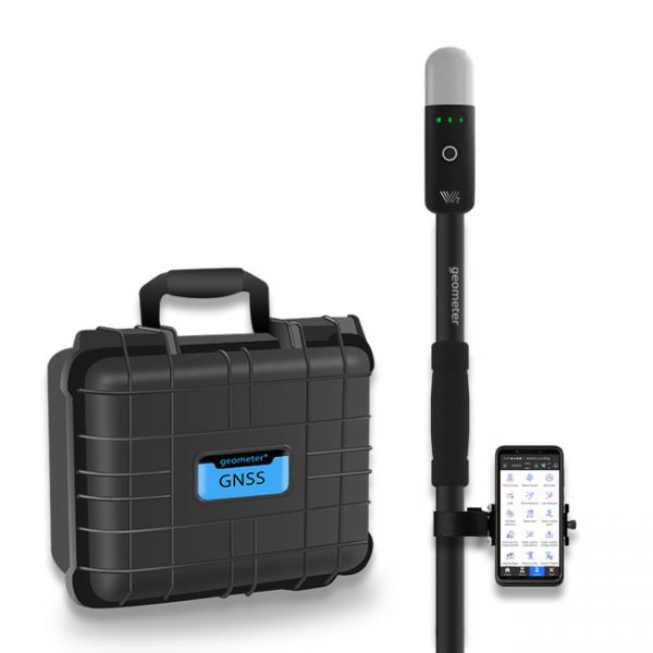
The Walker 2 IMU GNSS RTK kit with the P94 controller is a powerful and ultra-light geodetic GNSS RTK solution for professionals.
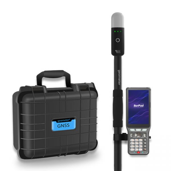
The Walker 2 IMU GNSS RTK Kit is a powerful and ultra-light GNSS RTK solution for professional measurements with centimeter-level accuracy. The Walker 2 IMU KIT comes in a shockproof case.
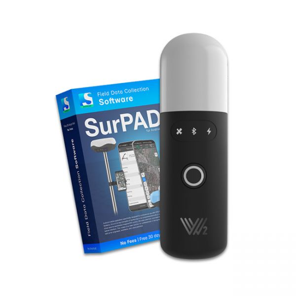
The Walker 2 receiver is an exceptionally lightweight and compact GNSS RTK device, weighing only 220 grams, designed for convenient use in any field conditions. Its sealed and shock-resistant housing withstands drops from heights up to 1.6 meters, ensuring reliability on construction sites, in agriculture, and in challenging terrain.
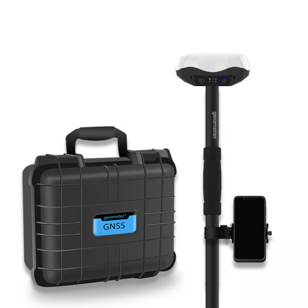
Single-frequency GNSS kit with decimeter accuracy on a free satellite signal, and with the ability to obtain RTK L1 accuracy. A new series of GPS/GNSS receivers in a compact GM PRO mini body. The kit consists of a protected smartphone with the "geometer SCOUT" software installed and a GM PRO model S GNSS receiver that communicates with the smartphone using a Bluetooth.
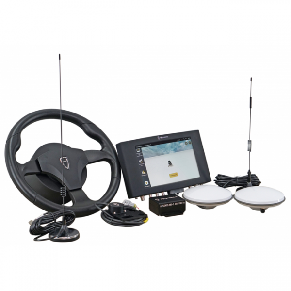
The FJ Dynamics AT2 autopilot can be installed on tractors with an articulated frame. You can choose the precision with which you need to work with the autopilot: 10-20 cm with the new PPP (Precise Point Positioning) technology, or 2.5 cm with RTK (Real-Time Kinematic).
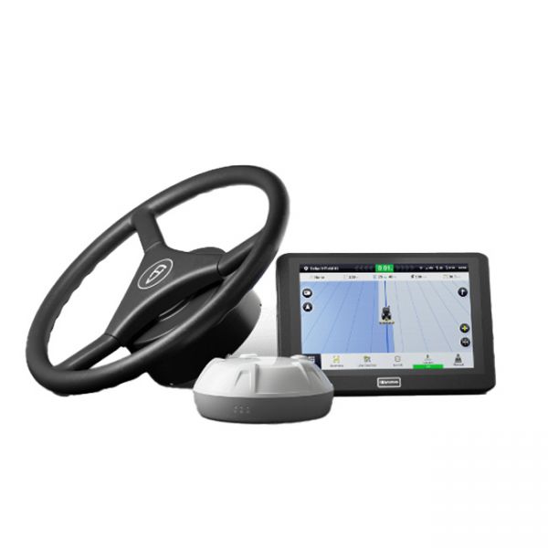
A complete set of automatic steering system, which could be installed on agricultural machinery of any manufacturer. Excellent equipment, which has everything you need. The brand and model of the tractor does not matter, because the kit has everything you need to install on any agricultural machinery. Accuracy of 2.5 cm when working from a base station, or from any RTK CORS provider.
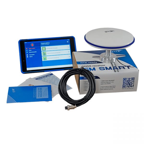
Agricultural guidance system geotrack Lite is based on Samsung's 8.7-inch display, geotrack software and GM SMART receiver. The receiver has 335 channels to work with all available satellite systems: GPS, GLONASS, GALILEO, BEIDOU, QZSS, SBAS. Provides accuracy of tractor guidance, at the level of 15 cm from pass-to-pass. The GM SMART receiver has a special software smoothing filter, which was developed for use in agriculture. Thanks to the smoothing mode feature high accuracy of parallel driving is provided.
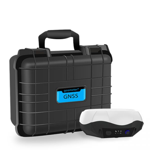
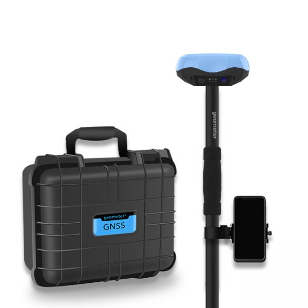
Multi-frequency GNSS GM PRO L KIT. The receiver has 965 channels, receives a signal from satellite systems GPS, GLONASS, GALILEO, BEIDOU, QZSS, IRNSS. Receiver works with L1, L2, L5 bands. The receiver is designed for performing of surveying works, such as: stakeout, determination of the exact boundaries of sites, land surveying, field area measurement, stake out points, stake out lines, GIS survey, stakeout roads, cross-section measurement, slope staking, power line survey, height control and other functions. The kit comes in a sealed shockproof box.
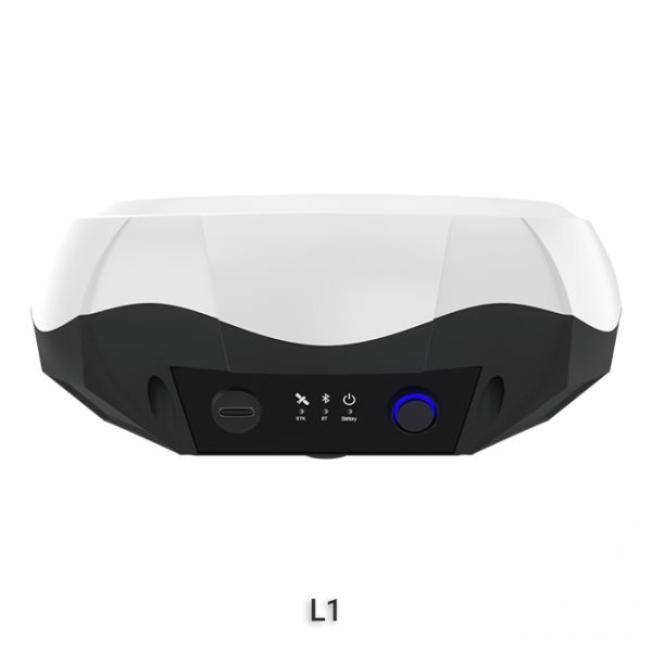
The single-frequency GNSS receiver "GM PRO S" of improved accuracy on a free satellite signal. A new series of receivers in a compact GM PRO mini body. The receiver has 335 channels for communication with satellites. Works with all satellite systems: GPS, GLONASS, GALILEO, BEIDOU, QZSS and can work in any country in the world. It can be used in geodesy, agriculture, forestry and other industries where high accuracy is important.
Special kit for positioning with centimeter RTK accuracy and obtaining high-precision coordinates. The set consists of a dual-frequency GNSS receiver GM PRO model U, rugged smartphone with geodetic software installed.
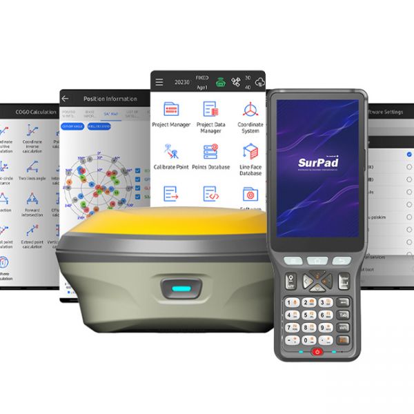
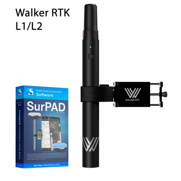
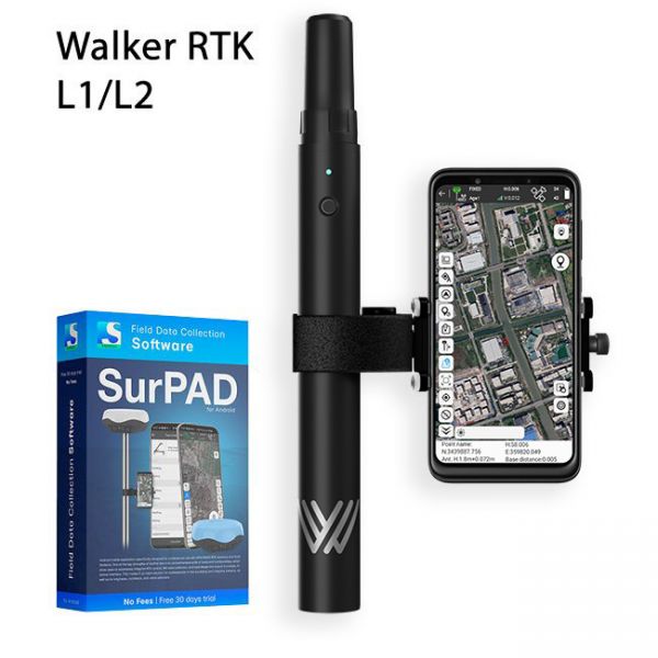
Walker RTK with professional surveying mobile application SurPAD is the ideal kit for surveying, as well as for 3D surveying manholes, sidewalks, curbs, steps, landscaping, mapping trenches, and underground utilities such as electricity, gas, water, and sewer lines
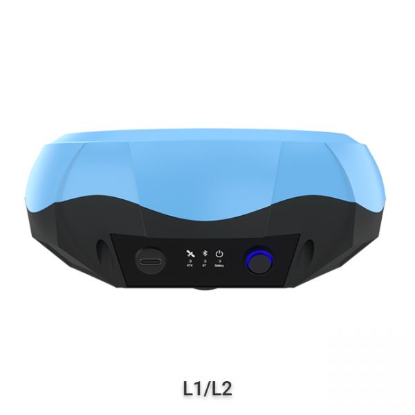
The "GM PRO U" GNSS RTK receiver is a dual-frequency (L1, L2) 184-channel RTK receiver that works simultaneously with several satellite systems and receives corrections in RTCM 3.X.X format. This receiver is compatible with any software. A new series of GM PRO mini receivers in a compact case.
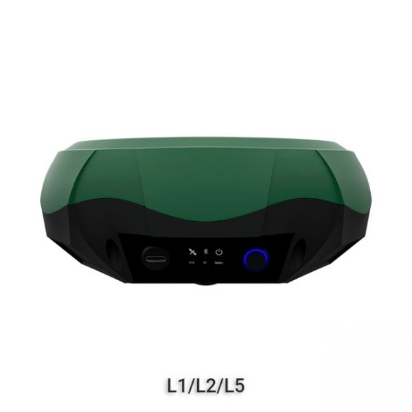
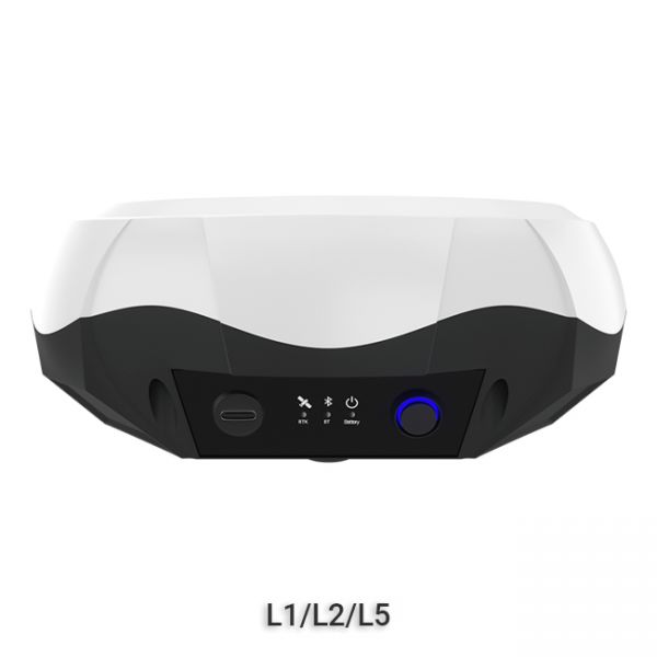
GNSS RTK receiver GM PRO M is a multi-frequency (L1, L2, L5) 1408-channel receiver with an antenna that operates simultaneously with GPS, GLONASS, GALILEO, BeiDou, QZSS, IRNSS satellite systems and accepts corrections in the RTCM 3.X.X format. This receiver is designed to work with any software. Designed for professional use in surveying, agriculture, forestry and other industries where high accuracy is important.
GNSS RTK receiver GM PRO L is a multi-frequency (L1, L2, L5) 965-channel receiver with an antenna that operates simultaneously with GPS, GLONASS, GALILEO, BeiDou, QZSS, IRNSS satellite systems and accepts corrections in the RTCM 3.X.X format. This receiver is designed to work with any software. Designed for professional use in surveying, agriculture, forestry and other industries where high accuracy is important.
Full set of equipment Walker RTK with professional surveying mobile application SurPAD 4.2 is the ideal kit for surveying, as well as for 3D surveying manholes, sidewalks, curbs, steps, landscaping, mapping trenches, and underground utilities such as electricity, gas, water, and sewer lines


