Complete Guide to GNSS RTK: Base Station, Rover, VRS, and Correction Transmission Methods
20.06.2025- What is RTK?
- How are corrections transmitted from the base station?
- Which method to choose?
- Where does the "2.5 cm" come from?
- How accuracy changes with distance
- What else affects accuracy?
- What is VRS (Virtual Reference Station)?
- How accurate is VRS technology?
- Will the results be repeatable?
- Who is VRS suitable for: farmers or surveyors?
In most descriptions of GNSS RTK, the phrase "accuracy up to 2.5 cm" often appears. This is true — but not the whole story. In reality, GNSS RTK can operate with millimeter-level accuracy if the system is set up properly. In this article, we briefly explain what RTK is and why its accuracy depends on many factors.
What is RTK?
RTK (Real-Time Kinematic) is a special operating mode of GNSS receivers where precise positioning is achieved using corrections from another receiver called a base station.
An RTK system consists of at least two components: a base station (a stationary receiver with precisely known coordinates) and a rover receiver. The rover is a mobile device that can be mounted on a tripod, tractor, drone, or held in hand — and it determines its position with high accuracy in the field, on construction sites, or during geodetic surveys.
Using both the rover and the base allows you to determine your coordinates not just "somewhere nearby" like with a regular GPS navigator, but with centimeter or even millimeter accuracy. RTK is especially useful in surveying, agriculture, construction, and robotics.
How are corrections transmitted from the base station?
To work in RTK mode, the rover receiver needs real-time corrections. There are two main ways to receive them:
1. Via radio link (UHF)
This is the classic method: the base station has a built-in or external radio transmitter that broadcasts corrections on a specific frequency (usually 410–470 MHz). The rover receives this data if it is within range — typically up to 3–5 km, or up to 10 km in ideal conditions.
- ✅ Advantage: doesn’t depend on mobile internet
- ⚠️ Disadvantage: limited range, requires line-of-sight
2. Via Internet (NTRIP)
Modern GNSS receivers can receive corrections via mobile data (3G/4G) or Wi-Fi. To do this, they connect to a special server — a NTRIP Caster, from which they download corrections in real time.
- ✅ Advantage: allows operation dozens of kilometers from the base
- ⚠️ Disadvantage: requires stable internet connection
Which method to choose?
| If you work... | Best option |
|---|---|
| In a field with no internet | Radio link (UHF) |
| In an area with mobile coverage | Internet (NTRIP) |
| In urban areas or large projects | NTRIP or VRS network |
📌 Note: Regardless of how corrections are transmitted, your receiver must correctly interpret them, enter RTK Fixed mode, and only then will maximum accuracy be achieved.
Where does the "2.5 cm" come from?
This figure is an average result you can expect when operating at a distance of 10–15 km from the base station under normal conditions. In reality, RTK accuracy depends on many factors, and the main one is the distance to the base.
How accuracy changes with distance
| Distance to base | Horizontal accuracy |
|---|---|
| 0.1–1 km | 2–3 mm |
| 5 km | 5–7 mm |
| 10 km | 10–15 mm |
| 20 km | Up to 2 cm or more |
What else affects accuracy?
- Satellite signal quality (presence of trees, buildings)
- Antenna quality (professional vs consumer-grade)
- Atmospheric conditions (ionospheric activity, bad weather)
- Stable connection to the base station (via mobile network, radio, or internet)
What is VRS (Virtual Reference Station)?
Imagine there’s no physical base station near you. Instead, there’s a network of base stations connected into a unified system. Using this network, the software generates a virtual base station — as if it were placed right next to your receiver. This is called a VRS — Virtual Reference Station.
The receiver receives corrections not from a single real base, but from a virtual base calculated specifically for your location. This allows you to greatly improve accuracy, even when you’re dozens of kilometers away from the nearest real station.
How accurate is VRS technology?
| Condition | Accuracy with VRS |
|---|---|
| Up to 5 km | 1–2 mm |
| 10–20 km | 5–10 mm |
| Up to 50 km | Up to 2 cm |
📌 Best accuracy is achieved in open areas with stable internet connection.
Will the results be repeatable?
Yes, repeatability (i.e., getting the same coordinates on different days) when using VRS is very high. This is especially important for those who:
- Create electronic field maps
- Mark out parcel boundaries
- Perform precise seeding or spraying
But keep in mind: The receiver must enter RTK Fixed mode, otherwise accuracy drops significantly. In RTK Float mode, the error can reach 60–90 cm.
Who is VRS suitable for: farmers or surveyors?
| Suitable for | Why |
|---|---|
| Farmers ✅ | Convenient — no need to set up a base. You can start working immediately in the field, as long as mobile internet is available. |
| Surveyors ✅ | Suitable for all types of jobs, especially in urban areas. |
RTK is not magic — it’s a highly accurate technology. But its accuracy is not always 2.5 cm: sometimes it’s better (as good as 2 mm), and sometimes it’s worse if proper conditions are not met. To achieve the best results, it’s important to:
- Use a quality GNSS receiver
- Have a stable internet connection to access the base or correction network
- Work in an area with good satellite visibility
🧡 If you're interested in an RTK receiver for agriculture or surveying — our team will gladly help you choose the right equipment for your needs.
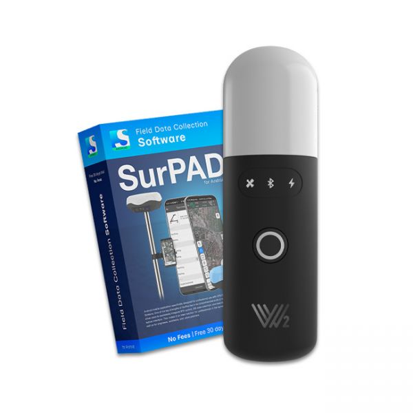
The Walker 2 receiver is an exceptionally lightweight and compact GNSS RTK device, weighing only 220 grams, designed for convenient use in any field conditions. Its sealed and shock-resistant housing withstands drops from heights up to 1.6 meters, ensuring reliability on construction sites, in agriculture, and in challenging terrain.
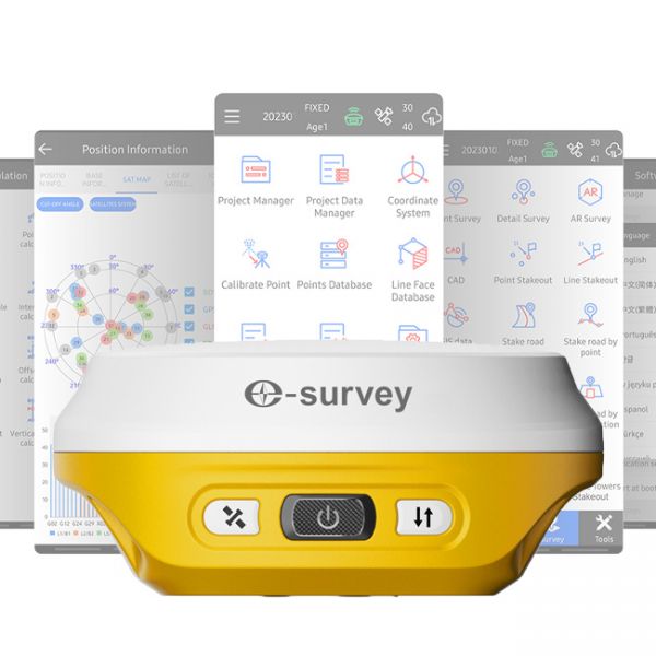
The GNSS RTK receiver eRTK10 mini is a high-performance network receiver with IMU and camera, designed to boost your productivity beyond expectations. This GNSS base solution supports multiple frequencies from various satellite constellations, ensuring enhanced positioning accuracy.
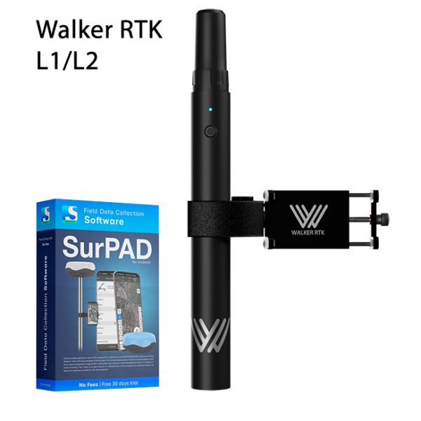
Walker RTK with professional surveying mobile application SurPAD is the ideal kit for surveying, as well as for 3D surveying manholes, sidewalks, curbs, steps, landscaping, mapping trenches, and underground utilities such as electricity, gas, water, and sewer lines


