
While GNSS offers fantastic benefits to the world today and has enabled many applications in various industries, often the individual accuracy provided by GNSS is not sufficient for professional applications such as precision agriculture or surveying. To achieve high positioning accuracy, it is necessary to eliminate errors from the location data. Various technologies have been developed for this purpose. One of the most accurate and popular is RTK (Real Time Kinematic), which is used to achieve this goal.
We have made a review of this technology to determine their suitability for use in the mass market. Today, the widespread use of RTK technology is constrained only by the insufficient development of the correction network and the price of devices. However, due to active technical developments in the field of affordable RTK base stations and the creation of compact and inexpensive RTK antennas, this market is on the verge of rapid growth in the next 1-2 years.
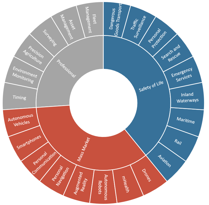
Based on the results of interviews with experts from various industries to gain a comprehensive understanding of the market and interpret the expected market development, as well as to discuss the feasibility of using high-precision technologies in smartphones and various applications, a wide range of applications of RTK technology was identified.
Existing and perspective trends in the application of RTK technology of high-precision positioning
Most of the interviewed experts believe that achieving high-precision positioning would be beneficial for the application of both enhanced GNSS (DGPS), which provides decimeter accuracy, and RTK technology, which allows to obtain coordinates in the centimeter range. It is expected that in the coming years, as mass-market antennas develop, both smartphones and automotive equipment will be able to achieve high-precision positioning using RTK technology.
Given the high potential of the market, it is expected that the deployment of RTK network will succeed as soon as its benefits are clearly demonstrated in real-world applications.
The meaning of RTK technology
RTK can provide very high positioning accuracy at coverage distances (30 - 50 km). It involves the transmission of corrections (CORS) of its raw measurements or corrections to the receiver through a direct (two-way) communication channel. In the coverage area of the base station - RTK provides almost instant positioning with high accuracy up to 1 cm + 1 ppm.
RTK is the most popular GNSS signal augmentation technology for many industries, such as surveying or agriculture, and is especially common in regions with well-developed Correction Networks (CORS), such as Central Europe. Its popularity has led to the decision to expand and increase the density of the GNSS reference base station network.
NRTK network
Network RTK (NRTK) was one of the earliest adaptations of RTK and allows a rover to connect to any CORS within an interconnected network of stations. Since the rover is no longer limited to the range of a single reference base station, the coverage area of the RTK solution can be greatly improved. NRTK provides numerous advantages over traditional RTK.
- The signal does not deteriorate with increasing distance between the receiver and the reference station, as the rover can connect to another CORS if it is closer, while maintaining high quality communication.
- Significantly improved RTK coverage in areas with a well-developed network.
- Reduces initial costs for the user as no infrastructure needs to be installed. It is easier for enterprises to manage service subscriptions.
- As NRTK coverage depends on the number of available CORS, it is particularly successful in regions with a high density of permanent base stations, such as Central Europe.
- In order for the rover to connect to different base stations in the network, all base stations must use a common data processing technology.
- Standardization in the CORS network prevents the need to reinitialize the ambiguity correction filters each time the rover connects to a different base station. Several standards have been developed to simplify this task, but the most widely accepted is the Radio Technical Commission for Maritime (RTCM) standard.

Multi-frequency GNSS RTK base station L1, L2, L5.

The "GM PRO U" GNSS RTK receiver is a dual-frequency (L1, L2) 184-channel RTK receiver that works simultaneously with several satellite systems and receives corrections in RTCM 3.X.X format. This receiver is compatible with any software. A new series of GM PRO mini receivers in a compact case.

The Walker RTK with geometer mobile app is a compact and easy-to-use ideal tool for 3D surveying manholes, sidewalks, curbs, steps, landscaping, mapping trenches, and underground utilities such as electricity, gas, water, and sewer lines.