Implementation of GNSS RTK in green space inspection
30.11.2023Green plantings, including city parks, trees along streets, gardens, and squares, play a key role in creating a healthy and sustainable urban environment. They not only improve the visual aspect of the city but also provide a range of ecological benefits, such as absorbing carbon dioxide, improving air quality, reducing temperatures in heat, and creating an environment for various species of animals. Additionally, green plantings contribute to the psychological well-being of city residents, offering spaces for relaxation and recreation.
Precise inspection of green plantings is necessary to maintain their health and longevity. It includes monitoring the condition of plants, identifying problems such as diseases, pests, or damage from environmental factors, and assessing the needs for care and renewal. Effective inspection helps to respond promptly to problems, preventing their exacerbation and ensuring the sustainable development of green areas.
RTK (Real Time Kinematic) technology is a method of high-precision satellite navigation that works on the basis of using the carrier wave phase of GPS/GNSS signals (e.g., GPS, GLONASS, GALILEO, BEIDOU) to determine location with centimeter accuracy. In the context of inspecting green plantings, RTK technology can be used for precise mapping of the location of trees and other landscape elements, as well as for recording data about their condition. This allows for the creation of detailed databases and maps, ensuring effective planning and management of green plantings.
Advantages of Using RTK in the Inspection of Green Plantings
The application of RTK in the inspection of green plantings offers numerous advantages:
- Accuracy: RTK allows for the precise determination of the location of each element of the green area, which is critically important for effective planning and management.
- Efficiency: With the use of RTK, the inspection process becomes faster and more efficient, as it reduces the need for manual measurement and control.
- Improved Data Management: Accurate geospatial data obtained through RTK technology facilitate the creation and updating of databases and maps of green plantings.
- Enhanced Monitoring and Care: Thanks to the accuracy of the data, it is possible to better track the condition of green plantings and respond promptly to problems such as diseases or damage.
Methods and Tools Used in Inspection
The application of RTK in the inspection of green plantings involves the use of specialized equipment and methods. At the core of the process are RTK receivers, which are mounted on mobile devices such as drones, handheld devices, or vehicles. These receivers synchronize with the network's base station corrections to ensure high positioning accuracy.
In addition to RTK equipment, software solutions are used for processing and analyzing the collected data. This includes cartographic software capable of displaying accurate geospatial data, and database management systems for storing and analyzing information about the condition of green plantings.
The use of GNSS RTK in inspection can also include integration with other technologies, such as remote sensing or aerial photography, to obtain a more comprehensive picture of the condition of green plantings.
Examples of Successful Application of RTK in Various Countries
Examples of RTK application for the inspection of green plantings can be found worldwide:
- USA: In some cities in the USA, such as San Francisco, RTK technology is used for precise mapping of urban trees. This allows city services to manage green areas more efficiently, plan trimming and tree care, and track changes in the landscape.
- Europe: In some European countries, like Germany, RTK technology is applied for monitoring the health and condition of trees in urban parks. This aids in the early detection of diseases and pests, preventing tree loss.
- Asia: In countries such as Japan, where natural disasters are frequent, RTK technology is used to assess damage to green plantings after earthquakes or typhoons. This contributes to the quick and effective restoration of green areas.
Examples of Improvements and Results Achieved Thanks to High Data Accuracy
The application of RTK technology in the inspection of green plantings has led to significant improvements in urban greenery management. The high accuracy of data provided by RTK technology has enabled the following results:
- Improved Monitoring of Trees and Plants' Condition: Accurate geopositional data facilitated the tracking of the health and growth of trees. For example, in cities where RTK is used, it has become more efficient to identify and treat diseased or damaged trees, preventing their further deterioration or death.
- Optimization of Green Plantings Care Plans: Accurate maps of the objects allowed for the development of more effective care plans, including optimal resource allocation for watering, pruning, and fertilization. This has led to healthier and more resilient green plantings.
- Effective Response to Environmental Issues: Thanks to the accuracy of RTK, city services have been able to quickly respond to problems related to climate change, environmental pollution, and other ecological threats that affect green plantings.
- Improved Urban Space Planning: Detailed maps created using RTK have helped urban planners more effectively design new green areas and optimize existing ones, taking into account precise data about the distribution and condition of plantings.
- Increased Environmental Awareness Among the Population: Accurate and clear data has contributed to raising residents' awareness of the state of urban greenery, which in turn has strengthened public participation in the conservation and development of green plantings.
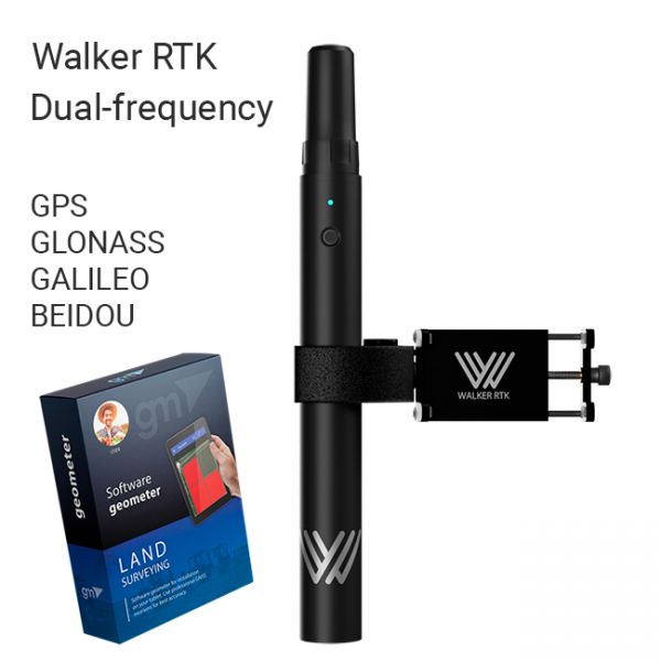
The Walker RTK with geometer mobile app is a compact and easy-to-use ideal tool for 3D surveying manholes, sidewalks, curbs, steps, landscaping, mapping trenches, and underground utilities such as electricity, gas, water, and sewer lines.
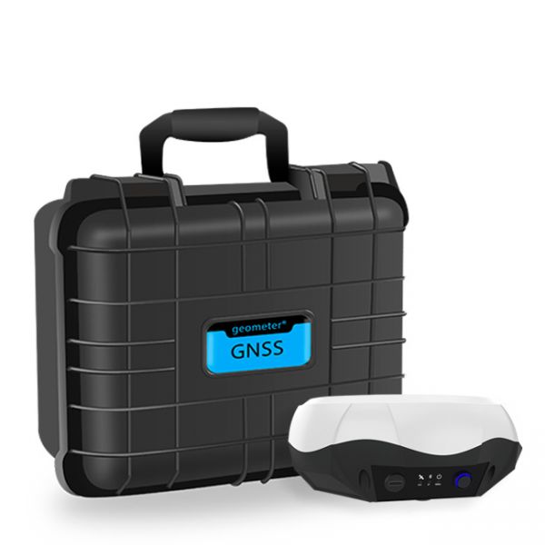
Single-frequency GNSS kit with decimeter accuracy on a free satellite signal, and with the ability to obtain RTK L1 accuracy. A new series of GPS/GNSS receivers in a compact GM PRO mini body. The kit consists of a protected smartphone with the "geometer SCOUT" software installed and a GM PRO model S GNSS receiver that communicates with the smartphone using a Bluetooth.
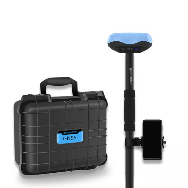
Special kit for positioning with centimeter RTK accuracy and obtaining high-precision coordinates. The set consists of a dual-frequency GNSS receiver GM PRO model U, rugged smartphone with geodetic software installed.


