Enhancing Land Surveying: Peak Efficiency with the GEORA GNSS RTK Receiver
05.02.2024In the dynamic realm of land surveying, the introduction of the GEORA GNSS RTK receiver equipped with an Inertial Measurement Unit (IMU) has ushered in a new era of efficiency and convenience. This groundbreaking tool is designed to meet the modern demands of precision and speed, especially in surveying land parcels for demarcation and privatization purposes. Its ability to compensate for tilts and work seamlessly in challenging locations revolutionizes how surveyors approach their tasks.
Breakthrough in GNSS RTK Precision: IMU Tilt Compensation
The GEORA GNSS RTK receiver's IMU tilt compensation technology is a game-changer. Traditionally, achieving high-precision measurements required the surveying pole to be exactly vertical, a condition challenging to meet in rough or obstructed terrains. The GEORA receiver, however, allows for accurate data collection at angles, making it possible to capture precise points without the need for perfect alignment. This feature significantly speeds up the surveying process in areas where obstacles or terrain would have previously slowed down work.
Designed for the Field: Durability and Portability
Weighing only 220 grams, the GEORA receiver is not just portable but also remarkably durable. Its design includes a hermetically sealed, impact-resistant body that can withstand drops from 1.6 meters, ensuring it can handle the rigors of fieldwork. This combination of lightweight design and robustness makes it an indispensable tool for surveyors who often find themselves in challenging outdoor environments.
Unmatched GNSS Performance: Comprehensive Satellite Coverage
Despite its compact size, the GEORA GNSS receiver boasts a high-performance board with 1408 channels. This ensures it can process signals from all satellite systems across all frequency bands, offering comprehensive global coverage. Such capability guarantees that surveyors have access to the most accurate and reliable data, no matter where their work takes them.
Transforming Land Demarcation: A Case Study in Productivity
A compelling testament to the efficiency of the GEORA receiver comes from its use by a company engaged in land demarcation and privatization. Before integrating the GEORA receiver into their operations, the company faced significant challenges in accurately and efficiently surveying land parcels, particularly in areas with difficult access or varied topography. These challenges often led to prolonged project timelines and increased costs.
The acquisition of the GEORA receiver marked a dramatic turnaround in the company's surveying operations. The IMU tilt compensation allowed surveyors to quickly and accurately capture data in previously inaccessible areas, streamlining the process of land demarcation and privatization. The enhanced efficiency and precision resulted in a substantial increase in productivity, enabling the company to complete projects faster, reduce operational costs, and improve client satisfaction.
The GEORA GNSS RTK receiver with IMU represents a significant advancement in land surveying technology. Its innovative tilt compensation, combined with its lightweight, durable design and powerful satellite processing capabilities, offers surveyors an unprecedented level of convenience and efficiency. As demonstrated by its impact on land demarcation and privatization projects, the GEORA receiver is setting new standards in the field, enabling professionals to tackle complex surveying challenges with confidence and precision.
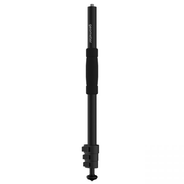
A telescopic aluminum survey pole TS180 is designed for comfortable surveying. The four-section construction delivers reliable stability with the help of solid flip locks.
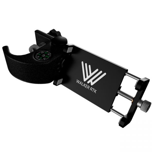
Universal aluminum holder designed to mount a smartphone for use on a geodetic pole or tripod.


