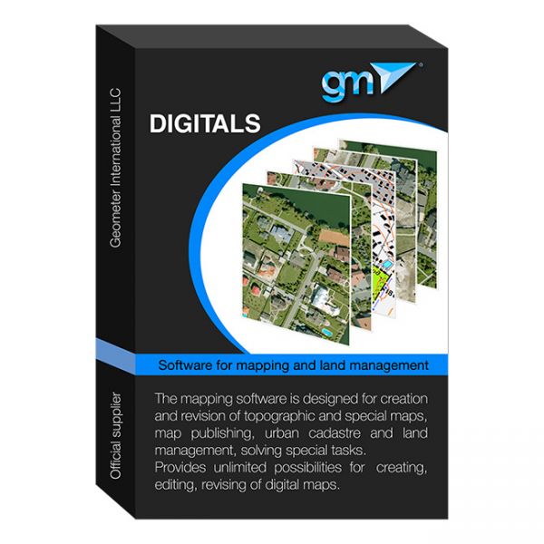
Digitals software
Digitals software provides automation of surveying work from processing field measurements to creating exchange files, cadastral plans and technical documentation. Does not require additional programs such as AutoCAD or MapInfo. Creates graphic and text documents based on templates, allowing you to automate the process and easily adapt it to any requirements


