Many people know Geometer GNSS devices as professional tools for precise positioning and agricultural guidance systems. Farmers, surveyors, agronomists, foresters, and other professionals use them for daily professional purposes for measuring field areas, staking out of points, surveying, and conducting agricultural and surveying work.
Few people know, but our devices can be used as useful devices for fishing and other outdoor activities.
Here are some examples of how to use Geometer devices for outdoor activities.
Using Geometer devices for fishermen
Knowing places with a good bite is one of the advantages of a successful fisherman. Often the search for such places is random and, accordingly, the result of fishing is not predictable. The impact of the bottom topography, and therefore the exact location can be decisive in the question of whether it will bite. Many fishermen trust their visual memory, but a deviation of 1-2 meters from the desired location may be the cause of the lack of biting. Particularly difficult to find the same place on an open large body of water, where there are no landmarks.
In such a case our devices for precise positioning help the fisherman. The perfect solution - devices based on a budget GM Spike GNSS receiver. Combined with our mobile Geometer app it is up to 50-70 cm accuracy for accurate positioning of a good snapper. The device will find the way to the exact location and the notes the fisherman can make in the Geometer app will remind him of the time of fishing, bait, and tackle he used last time. The device can be used with your Android smartphone or tablet or purchased as a shock-proof kit.
The kits allow you to store an unlimited number of maps and points, which distinguishes it from the usual domestic travel navigators.
Using Geometer devices for mushroom hunters
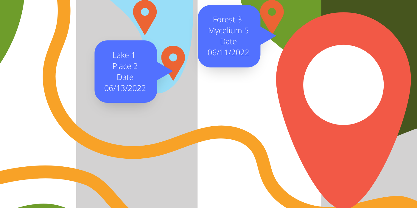
It is known that mushroom growers can keep their location for many years and enjoy the harvest of mushrooms. The initial search for mushroom locations takes a lot of time, but it is worth it, knowing that next time you will return here in the hope of a generous mushroom catch. Still, relying solely on your memory, in the age of the Internet on digital technology is not the best solution. In this matter, our precision positioning kits with a GM Spike GNSS receiver are the mushroom hunter's ideal assistant. Mark mushrooms on the map, but notes the type of mushrooms and come back again for a full basket. The device allows you to find a place with an accuracy of up to 70 cm, even without an Internet connection, which is ideal for remote places and dense forests. The device will plot the shortest path to a location and save a lot of time searching for it.
Advantages of GNSS Precise Positioning Kits with GM Spike Receiver
- Self-contained battery operation for up to 23 hours of continuous use
- Positioning accuracy up to 70 cm
- Works without Internet access
- Convenient carrying strap bag
- Reasonable price
- Multifunctional use for professional and hiking applications
Geometer positioning accuracy devices will be a great gift for fishermen and fans of quiet hunting.
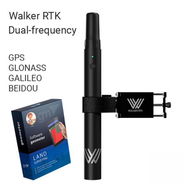
The Walker RTK with geometer mobile app is a compact and easy-to-use ideal tool for 3D surveying manholes, sidewalks, curbs, steps, landscaping, mapping trenches, and underground utilities such as electricity, gas, water, and sewer lines.


