SurPad 4.2: Your Universal Assistant in Geodesy
14.01.2025The SurPad 4.2 program is deservedly considered one of the most popular and affordable software solutions for geodetic research. Thanks to its wide range of functional capabilities and versatility, it is used by both professionals and newcomers in the field of geodesy. Let’s take a closer look at what makes this program unique and why it is an excellent choice for solving geodetic tasks.
Compatibility with a Wide Range of Equipment
One of the main advantages of SurPad 4.2 is its ability to work with various brands of GNSS equipment. The program includes built-in drivers for a number of popular manufacturers, making equipment connection straightforward. However, its capabilities go even further. In the list of supported devices, there is an "Other" option, which allows you to connect any GNSS device that transmits NMEA streams via Bluetooth. This makes the program incredibly flexible and universal, eliminating the need to rely solely on expensive equipment. Now, even with more budget-friendly GNSS devices, you can perform precise measurements and stakeout operations.
Cost Savings on Equipment
Thanks to its capability to work with any equipment, SurPad 4.2 users can significantly reduce costs. If your task is to collect GNSS points or perform stakeout work, there is no need to invest in expensive equipment. The program ensures professional accuracy even with more affordable solutions.
Advanced CAD Features
Another powerful feature of the program is its built-in CAD module. It allows users to upload and work with large projects in DXF or DWG formats. This is especially important for complex geodetic tasks, such as performing stakeouts based on project drawings. The intuitive interface and comprehensive set of CAD tools make the workflow convenient and efficient.
Support for Global and Custom Coordinate Systems
SurPad 4.2 is equipped with a large database of built-in coordinate systems covering different countries. This enables geodesists to work in any region of the world without requiring additional setup. Additionally, for cases where a non-standard coordinate system is needed, the program allows for manual configuration. This makes it suitable for handling unique and complex tasks.
Key Advantages of SurPad 4.2
1. Versatility – Support for any GNSS equipment via NMEA streams.
2. Cost Efficiency – The ability to work with budget devices without sacrificing accuracy.
3. Advanced CAD Module – Support for DXF and DWG formats for working with large projects.
4. Global Support – Built-in coordinate systems with options for user-defined configurations.
5. Ease of Use – An intuitive interface and extensive functionality for geodetic tasks.
SurPad 4.2 is an indispensable tool for geodesists striving for accuracy and efficiency. Its versatility, affordability, and functionality make it the optimal choice for tackling a wide range of geodetic challenges. Whether you are a seasoned professional or just starting in the field, SurPad 4.2 ensures comfort and high productivity at every stage of your work.
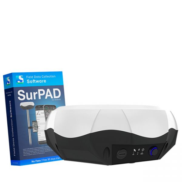
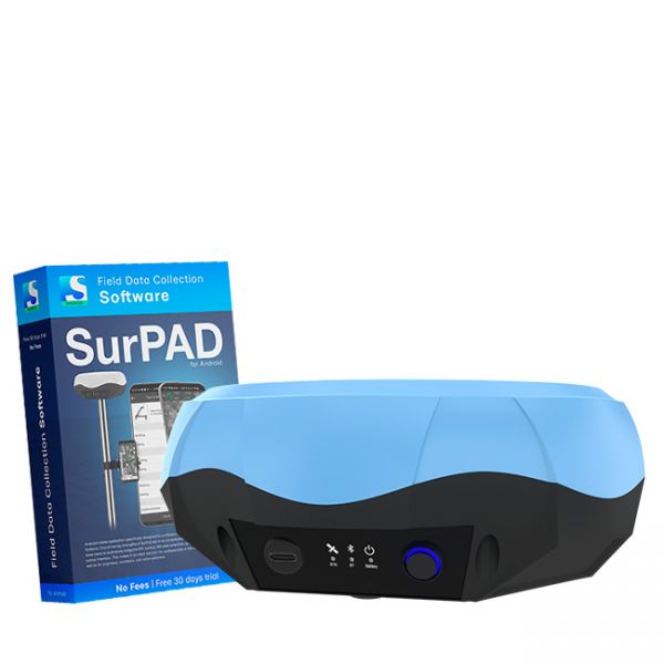
Multi-frequency GNSS RTK receiver "GM PRO L" with surveying software SurPad 4.2 for staking-out points, staking-out properties, cadastral measurements and much more.
The Dual-frequency GNSS "GM PRO U" with SurPad 4.2 for Android works in frequency ranges L1, L2 has 184 channels for performing of surveying works, such as: stakeout, determining clear boundaries of areas, land surveying, field area measurement, stake out points, stake out lines, GIS survey, stakeout roads, cross-section measurement, slope staking, power line survey, height control and other functions.
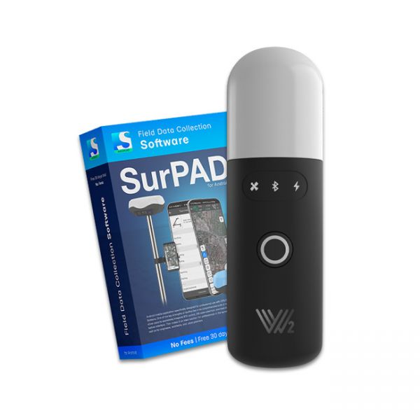
The Walker 2 receiver is an exceptionally lightweight and compact GNSS RTK device, weighing only 220 grams, designed for convenient use in any field conditions. Its sealed and shock-resistant housing withstands drops from heights up to 1.6 meters, ensuring reliability on construction sites, in agriculture, and in challenging terrain.


