For performing surveying tasks related to working with official documentation, searching for or allocating land parcels within Ukraine’s coordinate systems (SC-63 or UCS-2000), we recommend using the geodetic CORS GNSS RTK network. Thanks to this network, there is no longer a need to store special files for setting up plans and elevations (geoids) on the controller. The CORS GNSS RTK network automatically operates within Ukraine’s coordinate systems and transmits shift parameters along with real-time corrections, providing high accuracy without additional configuration or post-processing.
The CORS GNSS RTK network consists of over 200 base stations across the country and is constantly expanding with new sites. For surveyors, using this network is a more cost-effective solution than maintaining their own base station. The network provides reliable and stable connectivity anywhere in Ukraine, as each station is carefully placed considering its coverage radius and has fixed, unchangeable geodetic coordinates, ensuring high measurement accuracy.
An additional advantage is the automatic connection to the nearest base station. This eliminates the need to manually search for the required station among the 200+ available. The system automatically connects you to the nearest station, ensuring optimal measurement results.
This approach guarantees precision and convenience, which are key advantages for surveying tasks.
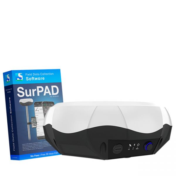
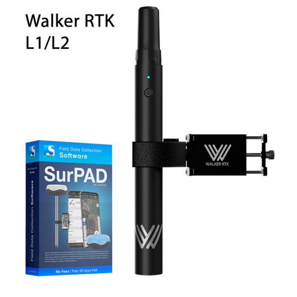
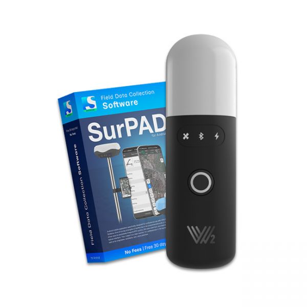
We recommend GEORA GNSS RTK surveying equipment:
Automatic coordinate system setup in the CORS GNSS RTK network for surveying
For correct operation within the RTK network, it is important to choose the right connection point, which depends on the user’s location. Ukraine is divided into several zones across different coordinate systems. The CS-63 coordinate system includes 6 zones: the first zone starts from the western part of Ukraine and gradually shifts eastward, where the last, sixth zone is located.
In the UCS-2000 system, Ukraine is also divided into zones, but their numbering starts from zone 4 and extends to zone 7, which is a feature of this coordinate system. Selecting the correct zone is crucial for ensuring the accuracy of surveying measurements and the proper functioning of navigation equipment.
A detailed map of all zones, including CS-63 and UCS-2000 zones, can be found via the link on our website. Visit the page with the map displaying all zones for different coordinate systems of Ukraine to choose the correct zone for your work.
Multi-frequency GNSS RTK receiver "GM PRO L" with surveying software SurPad 4.2 for staking-out points, staking-out properties, cadastral measurements and much more.
Walker RTK with professional surveying mobile application SurPAD is the ideal kit for surveying, as well as for 3D surveying manholes, sidewalks, curbs, steps, landscaping, mapping trenches, and underground utilities such as electricity, gas, water, and sewer lines
The Walker 2 receiver is an exceptionally lightweight and compact GNSS RTK device, weighing only 220 grams, designed for convenient use in any field conditions. Its sealed and shock-resistant housing withstands drops from heights up to 1.6 meters, ensuring reliability on construction sites, in agriculture, and in challenging terrain.


