Dear Visitors,
We are excited to announce the launch of a new interactive map of Ukrainian coordinate systems on our website. This tool is designed to help you easily determine which zone you are in using any device.
What does our interactive Map of Ukrainian Coordinate Systems offer?
- Support for various coordinate systems: UTM-2000, MSK, SK-63.
- Intuitive control: You can turn on and off the display of different zones using convenient checkboxes.
- Geolocation: Use your device’s geolocation to determine your exact position on the map.
- Automatic zone determination: When geolocation is activated, you will see a message indicating which coordinate system zones you are in.
- Central marker: Always shows the coordinates of the central point of the map.
How does it work?
- Go to the interactive map page.
- Use the menu on the right to turn on or off the display of UTM-2000, MSK, SK-63 zones.
- Click on the geolocation icon at the bottom right to allow the use of your geolocation.
- The map will automatically determine your location and show you which zones you are in.
Why is this important?
The interactive map will help you quickly and conveniently determine which coordinate system zone you are working in, which is extremely useful for surveyors, cartographers, engineers, and anyone working with geographic data.
Visit our new interactive Map of Ukrainian Coordinate Systems here and take advantage of all its features!
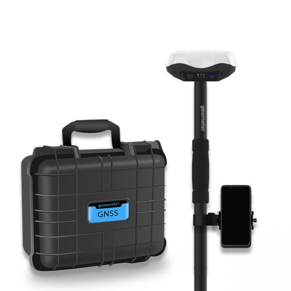
Multi-frequency GNSS GM PRO L KIT. The receiver has 965 channels, receives a signal from satellite systems GPS, GLONASS, GALILEO, BEIDOU, QZSS, IRNSS. Receiver works with L1, L2, L5 bands. The receiver is designed for performing of surveying works, such as: stakeout, determination of the exact boundaries of sites, land surveying, field area measurement, stake out points, stake out lines, GIS survey, stakeout roads, cross-section measurement, slope staking, power line survey, height control and other functions. The kit comes in a sealed shockproof box.
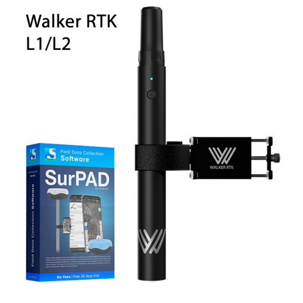
Walker RTK with professional surveying mobile application SurPAD is the ideal kit for surveying, as well as for 3D surveying manholes, sidewalks, curbs, steps, landscaping, mapping trenches, and underground utilities such as electricity, gas, water, and sewer lines


