Accurate positioning is crucial in pipe laying as even small errors in location can lead to significant problems down the line. Incorrectly placed pipes can lead to leakage, damage, and even failure of the entire system. In addition, pipes that are not properly aligned can cause problems with subsequent construction and maintenance. Accurate positioning also allows for efficient use of resources and materials, as pipes can be placed in the most efficient and cost-effective way possible.
In addition, GNSS RTK technology can also be used to ensure that pipe is placed at the correct depth, which is particularly important for underground pipe laying. This helps to avoid conflicts with other underground infrastructure, such as utilities.
Moreover, for pipe laying in construction, GNSS RTK technology is also useful for creating as-built drawings and maintaining records of the construction process. It helps to ensure that the pipe is placed at the correct location and elevation, that the pipe is installed at the correct depth and that the pipe is installed at the correct alignment. This is important for future maintenance and repair work.
Overall, GNSS RTK technology allows for much more precise pipe laying, which leads to improved efficiency, cost savings, and a reduced risk of problems and failures in the future.
How handheld devices can be used on the job site
Handheld GNSS RTK devices can be used on the job site in a variety of ways. One of the most common ways is to use the device as a rover, which is connected to a base station at a known location. For example, Walker RTK receives the corrected satellite signals from the base station and uses them along with its own satellite measurements to determine its precise location.
This information can be used to guide the operator in pipe laying or other construction work. For example, the device can be used to ensure that pipes are placed at the correct location and depth, and that they are aligned correctly. The device can also be used to create as-built drawings, which are detailed records of the construction process.
Another way that handheld GNSS RTK devices can be used on the job site is as a standalone device. These devices have the ability to provide real-time, centimeter-level accurate positions even without a base station. This is achieved by using a technique called "network RTK" which uses multiple reference stations connected to a central network that provides the corrections. This can be useful in remote areas where it is not feasible to set up a base station.
Benefits of Using Handheld GNSS RTK Devices for Pipe Laying
There are several benefits of using handheld GNSS RTK devices for pipe laying.
- Increased efficiency and productivity: Walker RTK allow for faster and more accurate pipe laying, which leads to increased efficiency and productivity. This can result in significant cost savings, as well as reduced downtime and delays.
- Reduced errors and rework: Handheld GNSS RTK devices provide extremely accurate location information, which helps to reduce errors and rework. This can save significant time and money, as well as reducing the risk of future problems and failures.
- Improved safety on the job site: Handheld GNSS RTK devices can improve safety on the job site by allowing for faster and more accurate pipe laying. This can reduce the need for workers to be in hazardous areas for extended periods of time and can help to reduce the risk of accidents.
- Increased accuracy and precision in pipe placement: With the high accuracy provided by Walker RTK or GM RTK, pipe placement can be done with higher precision, which can ensure that the pipe is placed at the correct location, depth and alignment. This is particularly important for underground pipe laying, as it helps to avoid conflicts with other underground infrastructure, such as utilities.
- Creating as-built drawings: Handheld GNSS RTK devices can also be used to create as-built drawings, which are detailed records of the construction process. This can be useful for future maintenance and repair work, as well as for analyzing the data to improve future work.
Overall, the use of handheld GNSS RTK devices for pipe laying can lead to improved efficiency, cost savings, and a reduced risk of problems and failures in the future. It also can provide detailed information about the construction process, which can be useful for future maintenance and repair work.
Potential for further advancements in usage of GNSS RTK
The future implications and potential for further advancements in the use of handheld GNSS RTK devices for pipe laying are significant. Some potential developments include:
- Integration with other technologies: Handheld GNSS RTK devices can be integrated with other technologies, such as drones or robots, to provide even more accurate and efficient pipe laying. For example, drones can be used to survey the area and provide a 3D model of the terrain, while robots can be used to actually lay the pipe.
- Automation: Advances in artificial intelligence and machine learning can allow for the automation of certain aspects of pipe laying, such as the calculation of corrections or the creation of as-built drawings. This can lead to even greater efficiency and cost savings.
- Network RTK advancements: In the future, the network RTK will be more robust and more reliable, which will allow for greater flexibility in terms of the number of reference stations and the coverage area. This will make the network RTK more accessible and more widely used.
- Increased frequency bands: future handheld GNSS RTK devices will be able to track more frequency bands, which will improve the accuracy of the solution and reduce the effects of ionosphere and troposphere errors.
- Real-time monitoring: Handheld GNSS RTK devices can be used to provide real-time monitoring of the pipe laying process. This can allow for quick detection of any issues and prompt corrective action, which can save significant time and money.
Overall, the potential for further advancements in the use of handheld GNSS RTK devices for pipe laying is significant. These developments can lead to even greater efficiency, cost savings, and improved safety in the pipe laying process.
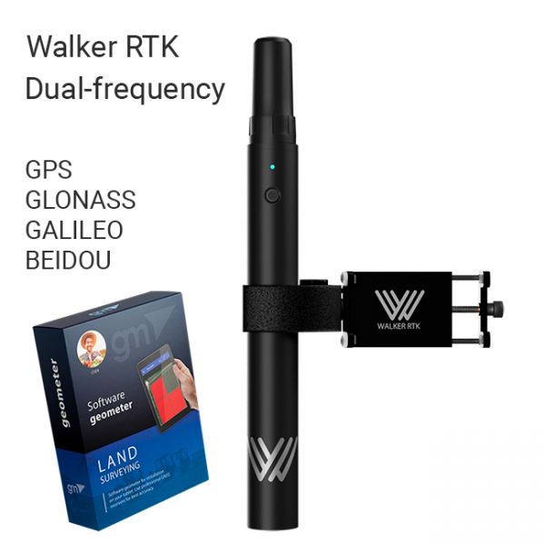
The Walker RTK with geometer mobile app is a compact and easy-to-use ideal tool for 3D surveying manholes, sidewalks, curbs, steps, landscaping, mapping trenches, and underground utilities such as electricity, gas, water, and sewer lines.
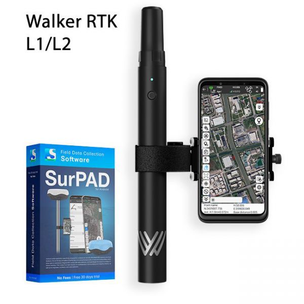
Full set of equipment Walker RTK with professional surveying mobile application SurPAD 4.2 is the ideal kit for surveying, as well as for 3D surveying manholes, sidewalks, curbs, steps, landscaping, mapping trenches, and underground utilities such as electricity, gas, water, and sewer lines
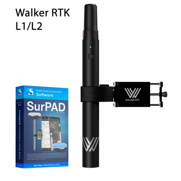
Walker RTK with professional surveying mobile application SurPAD is the ideal kit for surveying, as well as for 3D surveying manholes, sidewalks, curbs, steps, landscaping, mapping trenches, and underground utilities such as electricity, gas, water, and sewer lines


