Galileo HAS: high-precision navigation without base stations
23.03.2024In the modern world, satellite navigation systems play an indispensable role in the daily lives of millions of people, as well as in various sectors of the economy and industry. From precisely determining the location of vehicles to managing agricultural machinery and ensuring the safety of air traffic—satellite navigation is a key element of modern infrastructure. Among the numerous systems that exist today, the Galileo system, developed by the European Union, stands out for its uniqueness and strategic importance.
Galileo, the European satellite navigation system, was created to provide an alternative and complement to the American GPS system and the Russian GLONASS. Unlike its predecessors, Galileo is specifically designed for civilian use and offers exceptionally high accuracy, reliability, and global coverage. As of today, the Galileo system consists of 26 active satellites orbiting the Earth, with plans to increase this number to ensure better coverage and redundancy.
A significant milestone in the development of Galileo is the introduction of the Galileo High Accuracy Service (HAS), which offers a freely accessible service capable of providing extremely high accuracy in location determination - up to a few centimeters. This precision is achieved through advanced technologies and infrastructure, which includes not only satellites but also a network of ground stations around the world. The development and implementation of Galileo HAS open new horizons for European industry, science, and daily life, offering unparalleled accuracy and reliability.
What is Galileo HAS?
Galileo High Accuracy Service (HAS) is an innovative component of the European satellite navigation system Galileo, developed with the aim of providing users with high-precision navigation services. This service offers improved location accuracy, achieving measurements to within a few centimeters, which represents significant progress compared to traditional navigation systems that typically offer meter-level accuracy.
Benefits of Galileo HAS The basis for achieving such high precision in Galileo HAS is a combination of technologies and infrastructure, which includes Galileo system satellites and a network of ground stations located around the world. Data obtained from this infrastructure is processed and sent to users in real-time, providing not only high accuracy but also the reliability of navigation services.
Galileo HAS offers two main types of services: a free service that provides high-precision data to a wide range of users, and a commercial service that offers additional capabilities and improved accuracy for specialized applications. This flexibility makes Galileo HAS adaptable to various needs and allows its use in a wide range of industries, from agriculture and geodesy to automotive manufacturing and smart cities.
Thanks to its unique features, Galileo HAS opens new possibilities for the development of innovative applications and serves as an important tool for enhancing efficiency and safety in a wide range of industries. The development and popularization of this service are expected to make Galileo HAS an indispensable element of the global navigation infrastructure, contributing to progress and innovation in the next 5-10 years.
Practical Application of Galileo HAS
Galileo High Accuracy Service (HAS) has found its application in a number of sectors where high precision in location determination is critical. The innovative service opens new possibilities for various industries, significantly increasing their efficiency, safety, and reliability. Below are some of the key industries where Galileo HAS is already being applied or has great potential for implementation.
Agriculture
Precision agriculture is one of the most promising areas of application for Galileo High Accuracy Service (HAS). The geotrack agronavigation system with the GM SMART receiver allows farmers to precisely determine the location of agricultural machinery in the field, optimize their routes, and control the distribution of fertilizers and plant protection products. This contributes to reducing costs and increasing crop yields, as well as providing a more ecological approach to farming. Starting in the second half of 2023, Geometer International is releasing updated models of the GM SMART and GM PRO receivers, equipped with unique modules designed for flawless operation with Galileo HAS. Stable agricultural guidance system accuracy of about 10-20 cm on the free signal and without the need for Internet use meets the needs of many farmers around the world.
Transport and Logistics
Galileo High Accuracy Service (HAS) significantly improves the efficiency of traffic management, allowing for precise monitoring and management of logistic operations. The system enables high precision in determining the location of vehicles, route optimization, and reduction of delivery time. In aviation, maritime, and rail transport, Galileo HAS contributes to increasing safety and reliability of movements.
Geodesy and Cartography
In geodesy and cartography, the Galileo High Accuracy Service (HAS) opens new possibilities for creating detailed and accurate maps and models of terrain. The high precision of the system allows for land measurements, monitoring changes in the landscape, and planning land use with unprecedented accuracy without the need for RTK technology, which requires the Internet or a base station with a radio transmitter.
Civil Demining
The use of the Galileo High Accuracy Service (HAS) in the field of civil demining opens new horizons for increasing the efficiency and safety of this critically important activity. The high precision in location determination provided by Galileo HAS has the potential to radically change the approaches to detection and neutralization of minefields and other explosive objects. Global availability and high-precision coordinates acquisition without the need for base stations and without the Internet are critically important for the civil demining sector.
Smart Cities and the Internet of Things
In the context of smart cities, the Galileo High Accuracy Service (HAS) can play a key role in developing and implementing solutions for the Internet of Things (IoT). Precise location determination facilitates effective monitoring and management of urban infrastructure, including transportation systems, lighting, water supply, and waste management. This enhances the quality of life for residents, optimizes resource use, and reduces environmental impact.
Autonomous Vehicles
The development of autonomous vehicles is also largely dependent on navigation systems such as the Galileo High Accuracy Service (HAS). High precision in location determination is critical for the safe and efficient operation of unmanned vehicles, drones, and other types of autonomous systems.
Prospects of Galileo HAS in the World
The European Union is actively working on the development and modernization of Galileo HAS, planning to expand the system's capabilities and make it even more accessible to users worldwide. This will undoubtedly have a significant impact on the future of global navigation systems. Geometer International LLC continuously implements new technologies in its industry solutions and is one of the first companies in Ukraine to offer the technology of Galileo High Accuracy Service (HAS) in its surveying GNSS receivers and in agricultural guidance systems.
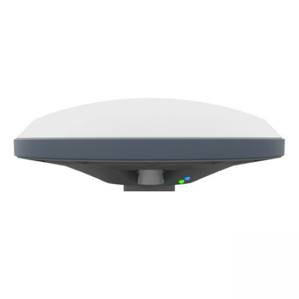
The updated version of the GNSS receiver GM SMART now supports Precise Point Positioning (PPP) technology from the Galileo HAS satellite system. This next-generation receiver is compatible with any navigation software, providing high accuracy and reliable positioning. GM SMART supports RTK mode on L1/L2/L5 frequencies, allowing for real-time corrections to achieve centimeter-level accuracy.
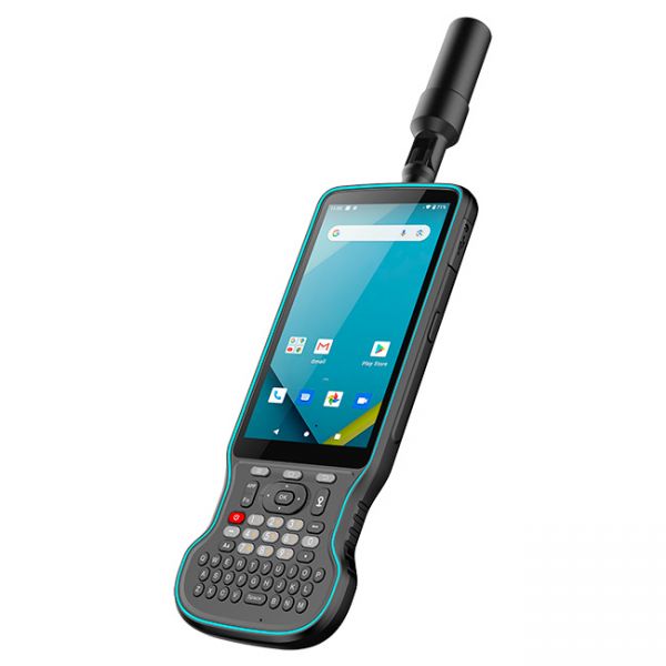
The Y55G field controller is a modern geodetic controller with an integrated GNSS RTK receiver. It features a multi-frequency 1408-channel board supporting L1, L2, and L5 bands. The device supports all major satellite systems: GPS, GLONASS, BeiDou, Galileo, QZSS, and IRNSS, ensuring stable positioning even in challenging environments.
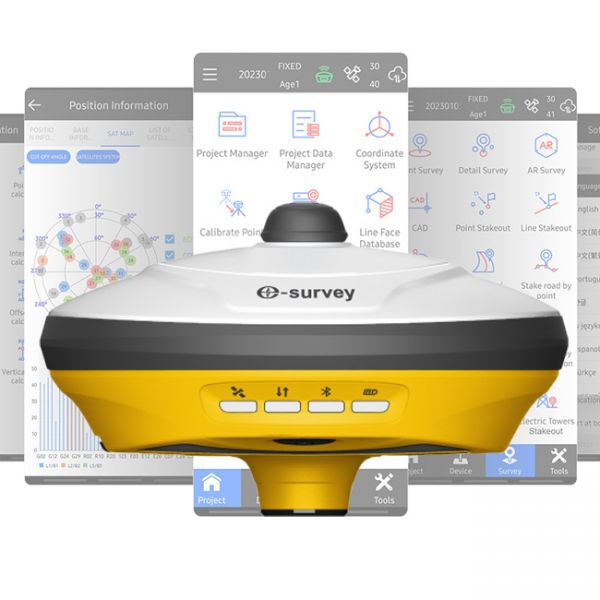
The eSurvey E200 is a high-performance network receiver with tilt compensation (IMU). It features an upgraded GNSS module with 1408 channels to boost your productivity and exceed expectations. This GNSS rover connects both to GNSS correction networks via built-in 4G and through radio communication. It supports multiple frequencies from different satellite constellations, ensuring enhanced positioning accuracy.


como acceder al software GALILEO HAS, COMO puedo instalar ...