Due to the active sun and associated ionospheric disturbances, it is possible that GNSS RTK users this fall and winter experienced a decrease in accuracy and an increase in lock time: the time it takes for the GNSS receiver to get a centimeter-accurate solution.
Solar activity has increased again after a lull in the last 2 years and is expected to reach a new high in the 11-year cycle in 2025, see image:
This graph also shows that the number of sunspots is now higher than expected.
Signals from GNSS satellites to the receiver pass through various layers of the atmosphere, including the ionosphere. Depending on the inhomogeneity of the electron density, the transit time of GNSS signals is locally affected. This is especially true in the Northern Hemisphere during the winter months, especially in the middle of the day.
A good first indicator of GNSS ionospheric activity is represented by the so-called I95 index. This can be viewed on the website of the German state operator SAPOS: https://i95.sapos.de/
Ideal values are at the level of 1 ppm, above 4 ppm indicate noticeable violations.
The degree to which an RTK network can model the ionosphere is determined by the ionospheric irregularity/residual error.
A residual error of more than 3-4 cm can lead to increased fixation time and reduced accuracy.
For maximum performance, several things are important:
- Use as many satellites as possible. Therefore, it is recommended to use all GPS, GLONASS, Galileo and Beidou satellite systems.
- Use as many frequencies as possible. Modern professional GNSS equipment supports observation of each satellite system at three or four frequencies instead of the usual two, which provides additional conditions for better modeling of ionospheric disturbances.
- Avoid weak satellite configurations (high PDOP) if possible.
- After getting a FIXED solution, wait a minute before measuring or navigating. This gives the rover more time to model residual errors and correct/incorporate as many satellites into the solution as possible.
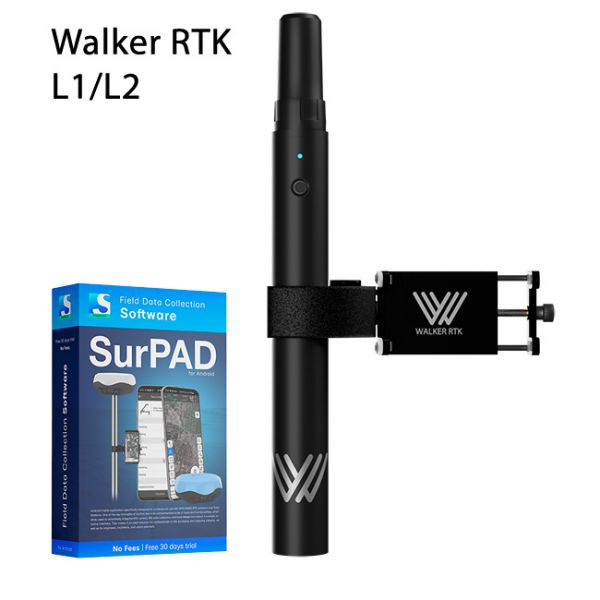
Walker RTK with professional surveying mobile application SurPAD is the ideal kit for surveying, as well as for 3D surveying manholes, sidewalks, curbs, steps, landscaping, mapping trenches, and underground utilities such as electricity, gas, water, and sewer lines
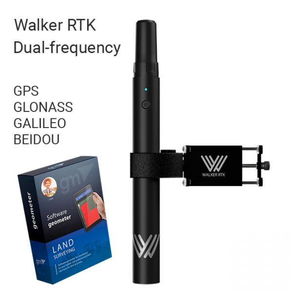
The Walker RTK with geometer mobile app is a compact and easy-to-use ideal tool for 3D surveying manholes, sidewalks, curbs, steps, landscaping, mapping trenches, and underground utilities such as electricity, gas, water, and sewer lines.
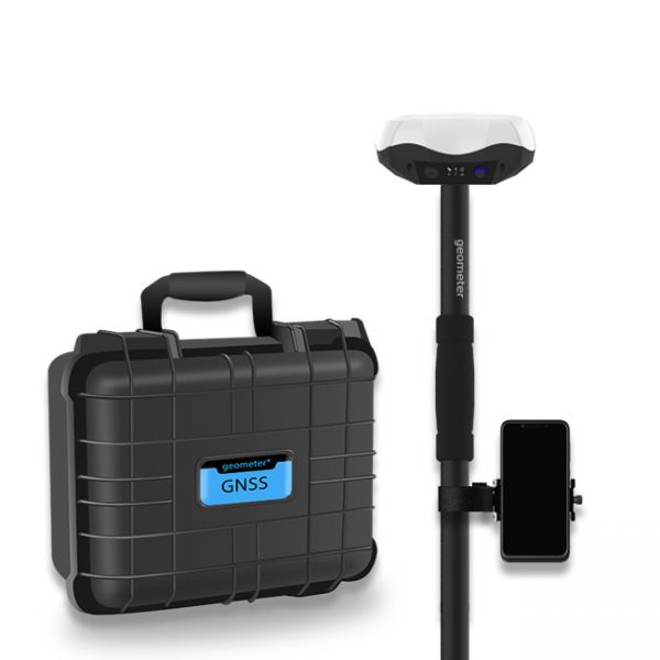
Multi-frequency GNSS GM PRO L KIT. The receiver has 965 channels, receives a signal from satellite systems GPS, GLONASS, GALILEO, BEIDOU, QZSS, IRNSS. Receiver works with L1, L2, L5 bands. The receiver is designed for performing of surveying works, such as: stakeout, determination of the exact boundaries of sites, land surveying, field area measurement, stake out points, stake out lines, GIS survey, stakeout roads, cross-section measurement, slope staking, power line survey, height control and other functions. The kit comes in a sealed shockproof box.


