
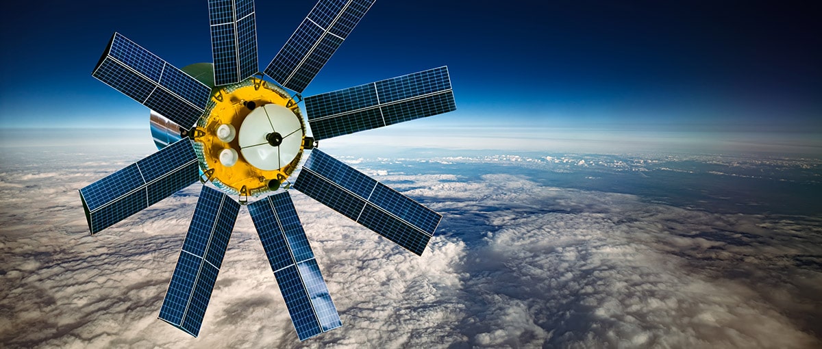
Global Navigation Satellite System, or GNSS, is a 24-hour positioning and timing system based on artificial satellites which can provide users with precise three-dimensional coordinates, speed and time. The measurement of GNSS global positioning system has a certain degree of error as GNSS signal is too fragile to be affected by error sources, for example atmospheric factors, of which the ionosphere is an important factor affecting GNSS measurement. While as the direct influential factors to atmosphere, solar activities such as sunspots and flare will disturb the ionosphere non-periodically.
What is the ionosphere?
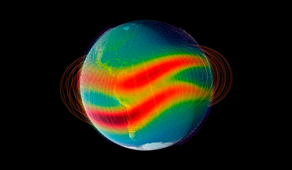
The ionosphere is generally defined as partially ionized atmospheric region roughly ranging from 60 to 1000 kilometers. Some people also regard the magnetosphere, the fully ionized atmosphere as the ionosphere. The ionosphere features a large number of free charged particles and ions, which can interfere with the intensity of electromagnetic waves propagating through the ionosphere.
How does the ionosphere affect RTK measurements?
One of the largest errors in the GNSS measurement is attributable to ionospheric delay in case that the amount of free electrons in the ionosphere is sufficient enough to affect GNSS signal transmission. The degree of impact on GNSS system is decided by the carrier frequency and the concentration of the TEC (Total Electron Content).
The distance error induced by the ionospheric delay reach generally 15 meters during day and 3 meters at night, a maximum of 50 meters in the zenith direction and 150 meters in the horizontal. In terms of relative positioning, ionospheric correlation is strong over short baseline and as a consequence ionospheric delay can be largely removed; however it leaves significant residuals in case of longer baselines, so that it is difficult to get a precise integer ambiguity.
The ionosphere influence RTK positioning in following two aspects:
- In case of intense ionospheric activity, the double-difference ambiguity increase, which highlighted the difficulty for resolution of integer ambiguity, extended the fixed time.
- When the ionosphere or geomagnetism is abnormal, the estimated atmospheric correction deviates from computed correction to a certain extent. As the previous studies have shown that residuals of higher-order ionospheric terms exceeding 8 cm will adversely affect the ambiguity solution and coordinate estimation.
How can surveyors mitigate the ionospheric effect?
1. Surveyors should observe at a more appropriate time instead of in the unfavorable conditions when solar flares and solar radiation are strong, especially for high precise measurements. Generally the stronger the sunlight, the more active the ionosphere. Thus Ionospheric effect peaks around 2:00pm and surveyors are suggested avoid working at noon.
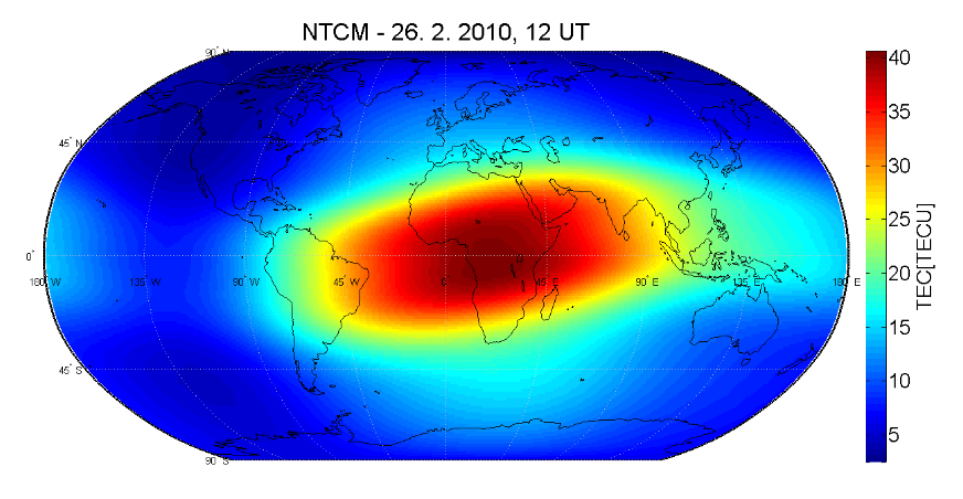
In terms of geography, the ionosphere is more active in low latitudes than high latitudes.
However in the most situations, the ionospheric effect is complex and changing as it is also affected by factors such as solar activity and geomagnetic activity. Users are advised to do measurements several times when this happens.
2. Surveyors are suggested do the measurement with ultra-short baseline when the ionospheric effect is active to ensure the reliability of positioning results, because in terms of principle, RTK is based on the corrections of reference stations that can eliminate the common errors on the rover station, so ionospheric error can not be eliminated if the ionosphere of these two stations differs significantly. Surveyors can choose to do the measurement with longer baseline or points which require higher accuracy at night. As to new points, the better way is to arrange at least two observations in different periods to achieve the more reliable accuracy.
3. In the future, surveyors can adopt the effective method to eliminate or correct ionospheric effects, PPP-RTK for example, which is based on an absolute correction value over the station broadcasting from a satellite base, which does not rely on the base station on the ground.

The single-frequency GNSS receiver "GM PRO S" of improved accuracy on a free satellite signal. A new series of receivers in a compact GM PRO mini body. The receiver has 335 channels for communication with satellites. Works with all satellite systems: GPS, GLONASS, GALILEO, BEIDOU, QZSS and can work in any country in the world. It can be used in geodesy, agriculture, forestry and other industries where high accuracy is important.

GNSS RTK receiver GM PRO L is a multi-frequency (L1, L2, L5) 965-channel receiver with an antenna that operates simultaneously with GPS, GLONASS, GALILEO, BeiDou, QZSS, IRNSS satellite systems and accepts corrections in the RTCM 3.X.X format. This receiver is designed to work with any software. Designed for professional use in surveying, agriculture, forestry and other industries where high accuracy is important.

The "GM PRO U" GNSS RTK receiver is a dual-frequency (L1, L2) 184-channel RTK receiver that works simultaneously with several satellite systems and receives corrections in RTCM 3.X.X format. This receiver is compatible with any software. A new series of GM PRO mini receivers in a compact case.