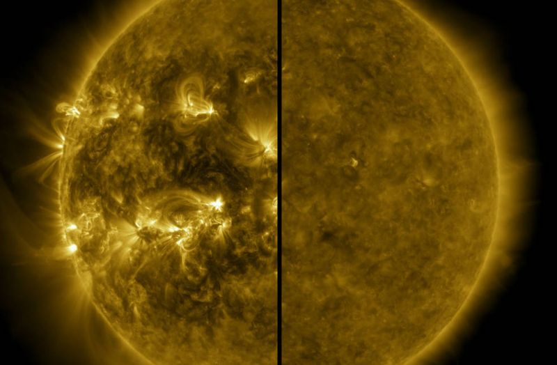
Due to the active sun and associated ionospheric disturbances, it is possible that GNSS RTK users this fall and winter will experience a decrease in accuracy and an increase in lock time: the time it takes for the GNSS receiver to get a centimeter-accurate solution.
Utility mapping is the process of identifying and mapping underground assets such as water and gas lines, electrical cables, and fiber-optic networks. These assets play a crucial role in our daily lives and the accurate mapping of them is essential for infrastructure management and planning.
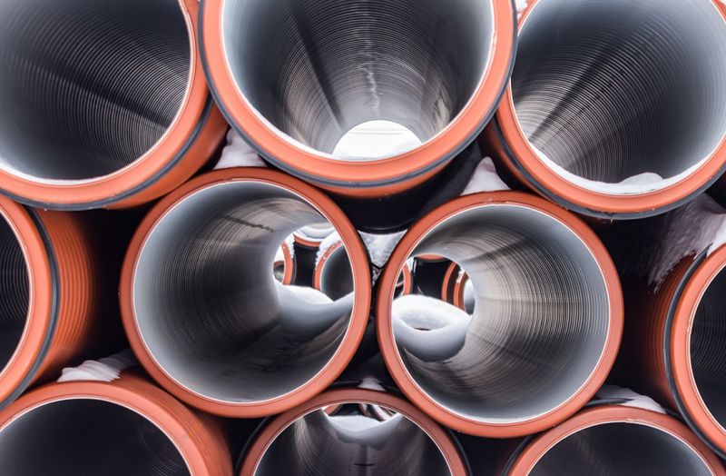
Accurate positioning is crucial in pipe laying as even small errors in location can lead to significant problems down the line. Incorrectly placed pipes can lead to leakage, damage, and even failure of the entire system. In addition, pipes that are not properly aligned can cause problems with subsequent construction and maintenance. Accurate positioning also allows for efficient use of resources and materials, as pipes can be placed in the most efficient and cost-effective way possible.
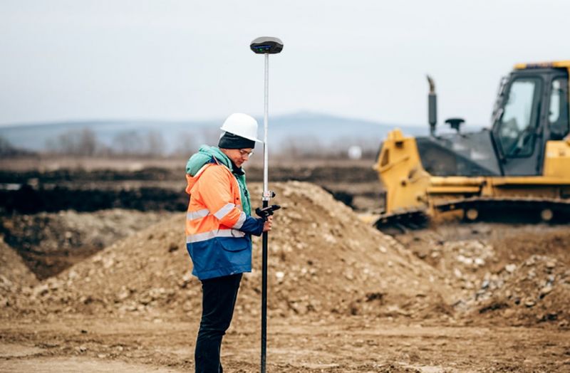
Designing of landscape design, drainage systems, construction, laying of pipelines, arrangement of trenches and channels can not do without the stage of obtaining the parameters of the terrain by high-altitude and planned survey of a given land plot. The specific features of these works are that they are all carried out on site and the mobility factor in the use of measuring instruments is a significant advantage when choosing them.
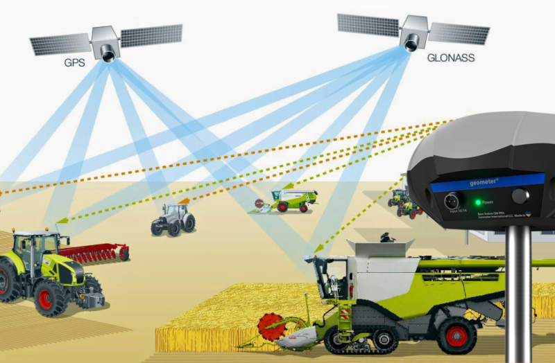
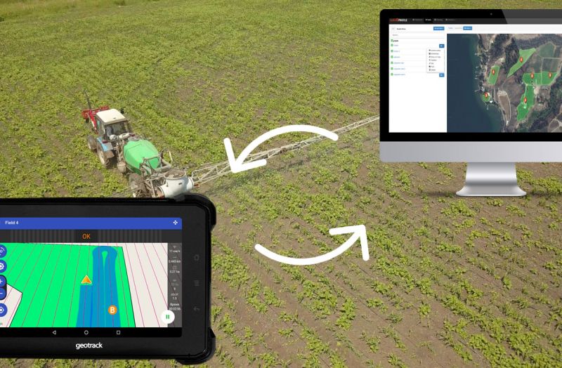
The fleet of agricultural machinery, which is equipped with an automatic steering system (autopilot), consists of thousands of units. Every day, such equipment goes to work in the field and one of the conditions for the successful application of the autopilot on a tractor or combine is the availability of a stable fixed pilot solution for its operation.
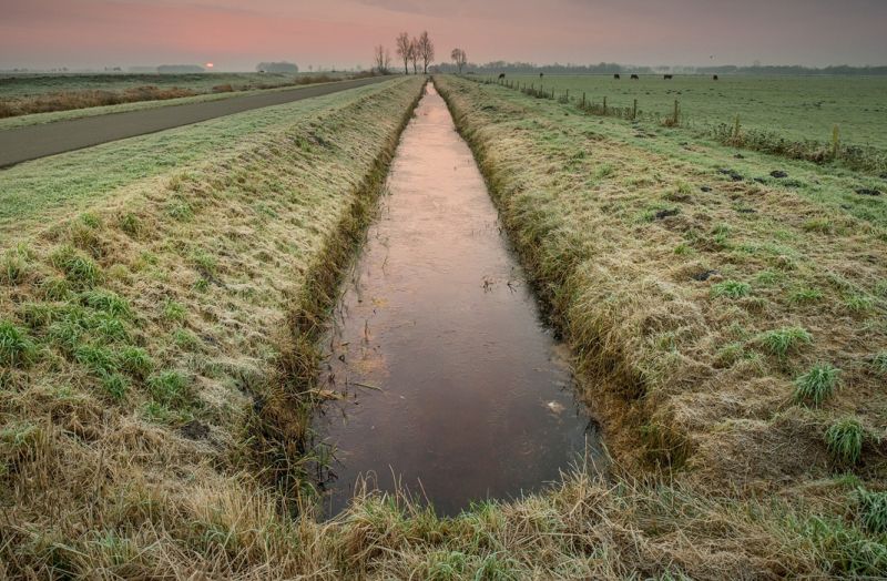
Designing a drainage system task for agricultural land is not simple and consists of several stages. First, you need to design the regulating, enclosing and leading network. Next, you need to decide on the location of the water receiver, the layout of the hydraulic structures, the road network and the maintenance part.
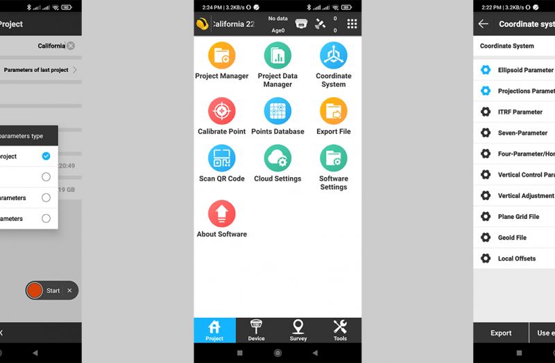
The choice of coordinate system at the beginning of the project is the basis on which the correctness of further measurements, calculations and works carried out using SurvX software depends.
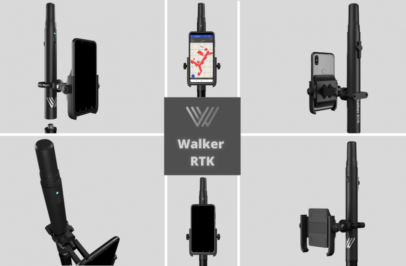
Consumer expectations for lightweight, compact, portable GNSS/RTK devices have been around for years. However, until recently, they have been held back by a lack of appropriate hardware, and use was limited to large professional devices. Today, the situation is changing significantly and the market for compact GNSS/RTK devices is now in a phase of active growth. Practical applications of portable and lightweight GNSS/RTK devices are found in a growing number of industries, even those where it was not possible before.
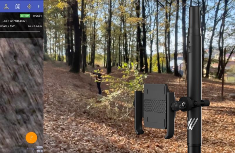
Portable GNSS/RTK receivers and kits - are the ideal solution for field workers doing fieldwork. The ease of use of these devices, which are controlled by a single button, can significantly lower the threshold of user requirements.
Geometer International is actively working towards the introduction of high-precision positioning technologies and, in particular, the availability of RTK solutions for a broad group of users. It was practically impossible to achieve absolute positioning accuracy in a three-dimensional environment with a portable device before. All existing RTK kits are designed primarily for professional use in geodesy or precision agriculture and are heavy, which is a certain obstacle to their use in other industries, both professional and mass market.
While GNSS offers fantastic benefits to the world today and has enabled many applications in various industries, often the individual accuracy provided by GNSS is not sufficient for professional applications such as precision agriculture or surveying. To achieve high positioning accuracy, it is necessary to eliminate errors from the location data. Various technologies have been developed for this purpose. One of the most accurate and popular is RTK (Real Time Kinematic), which is used to achieve this goal.
The constant growth of prices on seeds, fertilizers, and agrochemicals requires the farmer to use them effectively and control them. Precision farming technologies have been developed to change the rules of the game in the tillage market. Their use makes it possible to reduce the cost of fuel, fertilizers, and herbicides by 10-15% on average. Control over tillage of each square meter of the field significantly increases the efficiency of agricultural machinery use and labor productivity.
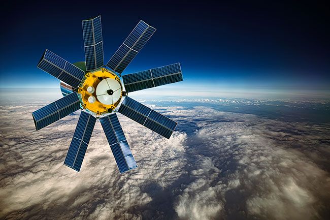
Global Navigation Satellite System, or GNSS, is a 24-hour positioning and timing system based on artificial satellites which can provide users with precise three-dimensional coordinates, speed and time. The measurement of GNSS global positioning system has a certain degree of error as GNSS signal is too fragile to be affected by error sources, for example atmospheric factors, of which the ionosphere is an important factor affecting GNSS measurement. While as the direct influential factors to atmosphere, solar activities such as sunspots and flare will disturb the ionosphere non-periodically.


