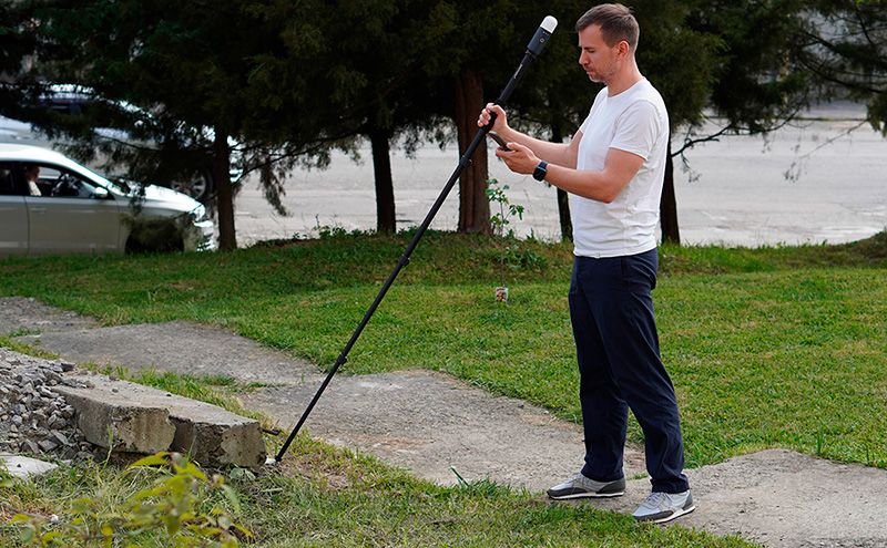
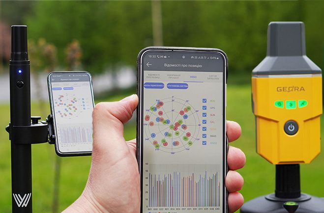
Modern GNSS RTK measurements are not only about the nominal accuracy “down to a centimeter.” In real field conditions, the decisive factors are receiver performance, RTK fix acquisition speed, stability when operating over long distances, and the ability to adapt to complex infrastructure conditions. This is exactly where Walker 2 IMU demonstrates advantages that were previously associated only with large and expensive professional systems.
For farmers, land is not just a resource — it is the foundation of the business. At the same time, land-related issues create some of the most frequent and costly challenges in everyday operations: disputes with neighbors, fragmented parcels, inaccurate area calculations, record-keeping errors, and direct financial losses. Agricultural enterprises constantly bring new land into production — individual land shares and plots — sign lease agreements, and restructure field layouts. In every one of these processes, it is critically important to know the exact boundaries of the land that is actually being cultivated.
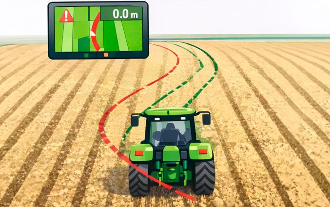
The 1–1.5 meter drift you see in the field is not a "crooked field" and it’s usually not the operator’s fault. In most cases, the cause is the limitations of entry-level GNSS hardware and unstable heading determination.
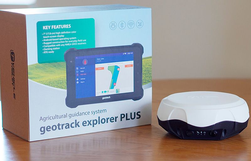
Modern agriculture demands precision, efficiency, and cost reduction. That’s why more and more farmers are choosing parallel driving systems for tractors. But which system is right for you?
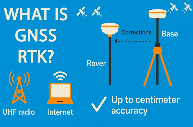
In most descriptions of GNSS RTK, the phrase "accuracy up to 2.5 cm" often appears. This is true — but not the whole story. In reality, GNSS RTK can operate with millimeter-level accuracy if the system is set up properly. In this article, we briefly explain what RTK is and why its accuracy depends on many factors.
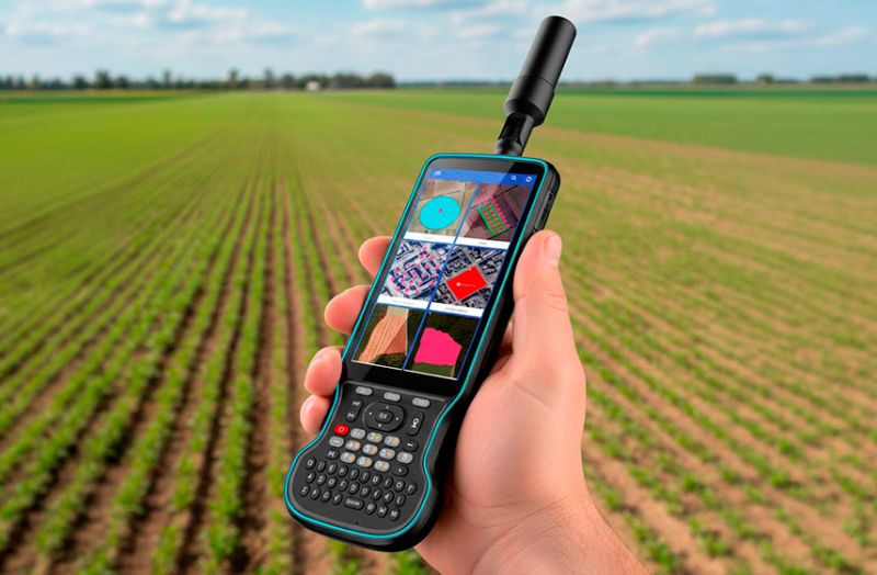
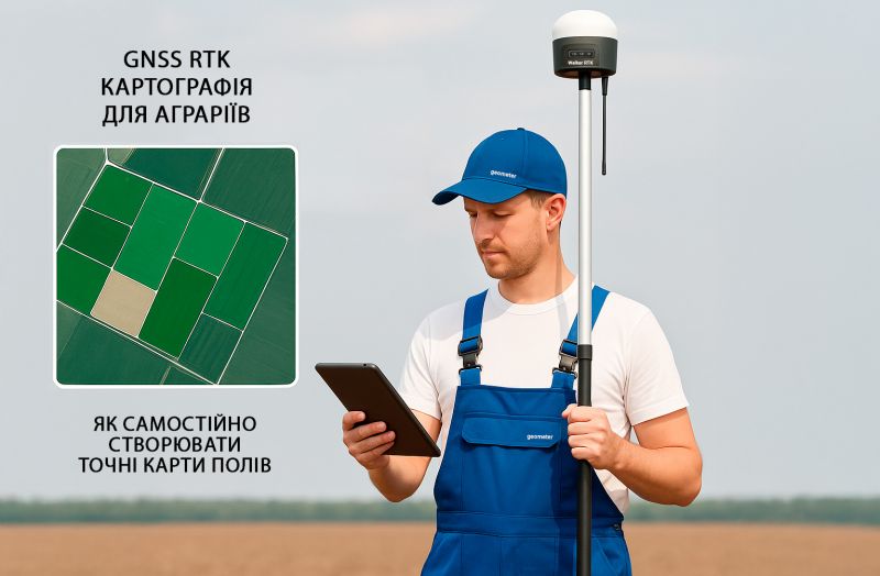
GNSS RTK technology (Real-Time Kinematic) is no longer limited to geodetic work. Today, it is actively used in agriculture — farmers apply RTK receivers to create accurate digital field boundaries, define parcel limits, perform internal zoning based on soil types or crop varieties, and conduct comprehensive agro-analysis. These solutions allow farmers to collect centimeter-accurate data and efficiently manage every hectare.
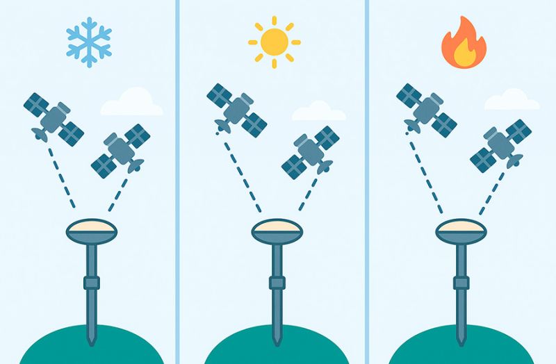
When using GNSS receivers in surveying, agriculture, or navigation, you may often hear the terms "cold start," "warm start", and "hot start". What do they mean and how do they affect your work? Here's a simple explanation.
Both devices are reliable, high-precision tools widely used for surveying, agricultural navigation, and other geospatial applications.
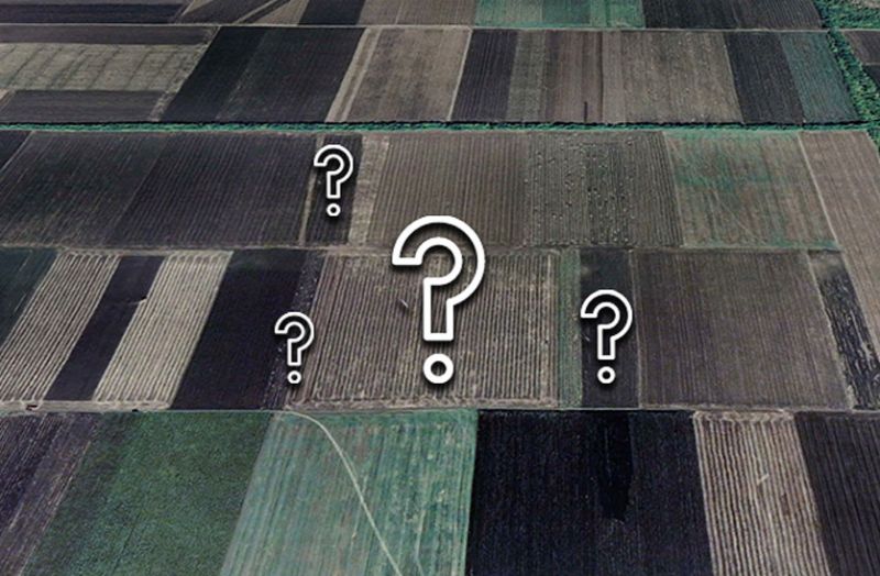
The problem of unclear land boundaries is a significant threat to farmers, as it leads to conflicts and yield loss.
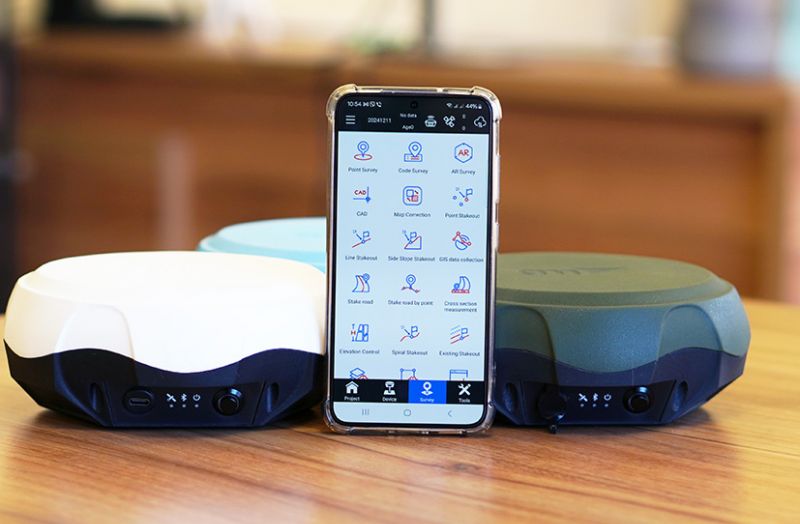
The SurPad 4.2 program is deservedly considered one of the most popular and affordable software solutions for geodetic research. Thanks to its wide range of functional capabilities and versatility, it is used by both professionals and newcomers in the field of geodesy. Let’s take a closer look at what makes this program unique and why it is an excellent choice for solving geodetic tasks.
For over 15 years, Geometer has been a trusted supplier of high-precision GNSS solutions for land surveying, precision agriculture, and other industries. We aim to create products that perfectly meet our clients’ needs, ensuring the optimal balance of price and functionality.
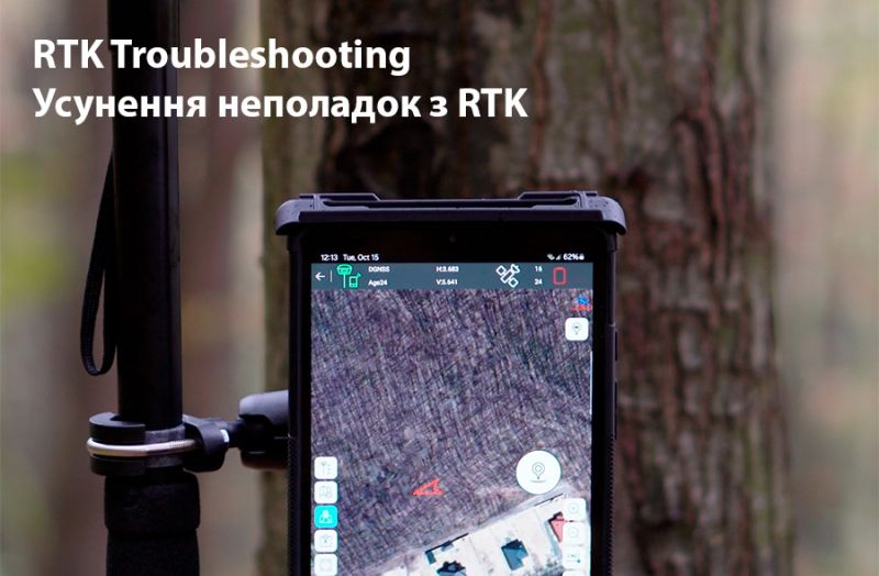
GNSS RTK (Real-Time Kinematic) technology enables high-precision positioning using GNSS receivers, making it indispensable in many fields such as agriculture, surveying, construction, and other areas where centimeter-level accuracy is crucial. However, sometimes during the RTK setup process, issues may arise: the receiver may not switch from DGNSS to RTK mode, or corrections may not be received properly.


