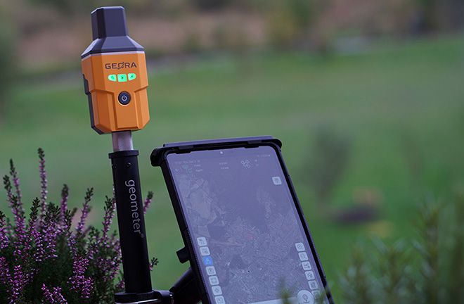
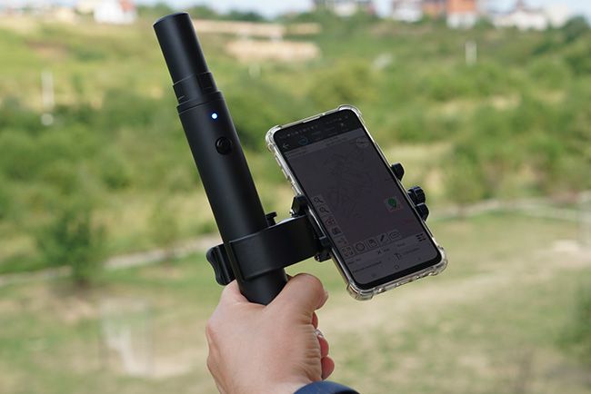
Modern geodetic tasks can be significantly simplified through the use of devices based on the Android platform. Special attention should be given to tablets, which, unlike phones, offer several important advantages.
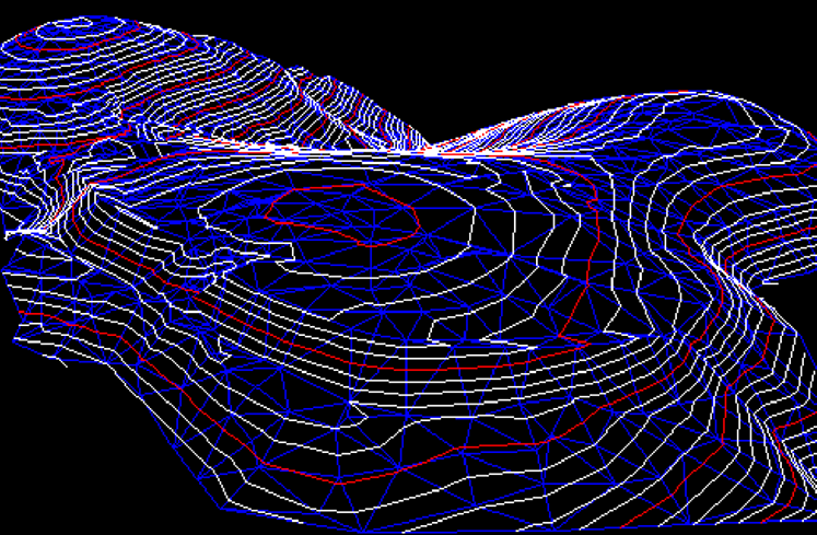
DSM Stakeout (Digital Surface Model Stakeout) is a process related to surveying and construction, in which digital surface models (DSM) are used to perform stakeout in the field. This method allows surveyors or builders to accurately set point coordinates on-site according to a pre-created digital surface model, which includes all objects on the ground, such as buildings, trees, bridges, and other elements.
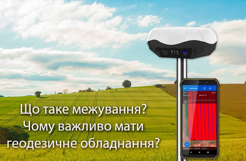
In modern agriculture, it is crucial for every farmer to quickly and accurately measure land plots. This task is especially relevant when hiring contractors for fieldwork since calculations are based on the processed areas in hectares.
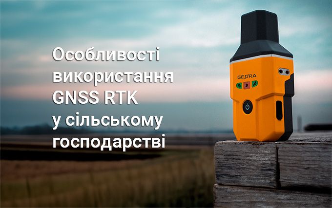
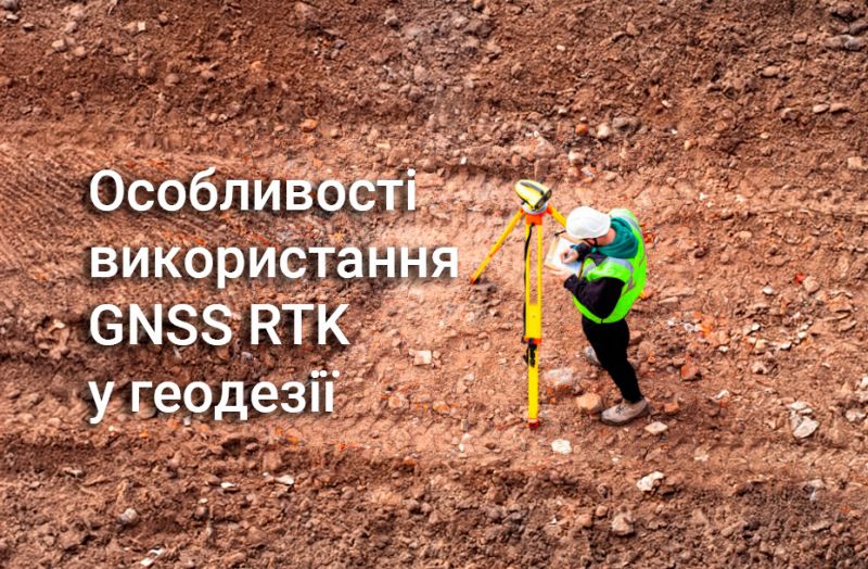
The use of GNSS RTK technology in the agricultural sector enables the implementation of modern cultivation methods, optimizes machinery operations and human resources, and significantly saves fuel and other materials through automation and high precision in task execution.
For performing surveying tasks related to working with official documentation, searching for or allocating land parcels within Ukraine’s coordinate systems (SC-63 or UCS-2000), we recommend using the geodetic CORS GNSS RTK network.
In today's agricultural business environment, where every penny counts, optimizing costs is crucial for maintaining stable growth and competitiveness. A key area that demands particular attention is land resource management, especially when it comes to acquiring new land plots and establishing boundaries through surveying work.
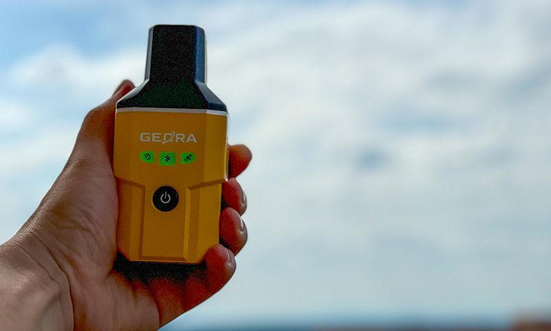
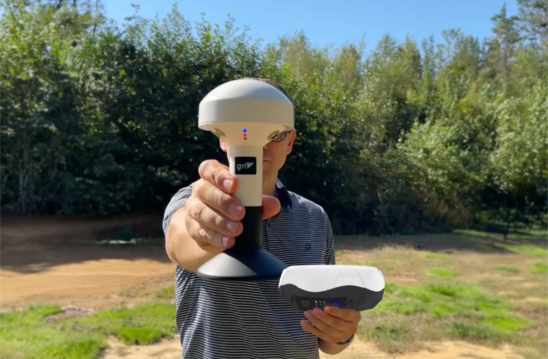
Раді повідомити про значне зниження ціни на наш мультичастотний GNSS RTK приймач GEORA. Цей високоточний прилад є незамінним інструментом для геодезичних та землевпорядних робіт, а також для будь-яких завдань, де важлива сантиметрова точність визначення координат.
Surveying allows for the precise determination of boundaries, area, and position of a plot relative to a coordinate system. The primary characteristic of a boundary is the coordinates of key points, not the length. These coordinates are determined during surveying work.
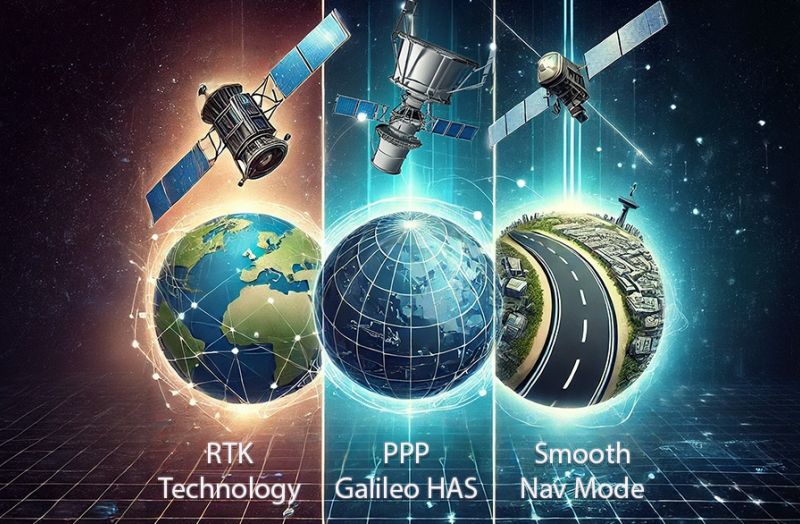
The PPP technology allows for receiving free satellite corrections directly from the European satellite system. It involves additional data transmission channels on the e6b frequency from the GALILEO satellite system. Let’s take a closer look at the GALILEO HAS satellite correction technology, which is available on all continents and provides an improvement in the accuracy of absolute coordinates up to 20 cm. We will also compare it with RTK and Smooth Mode technologies.
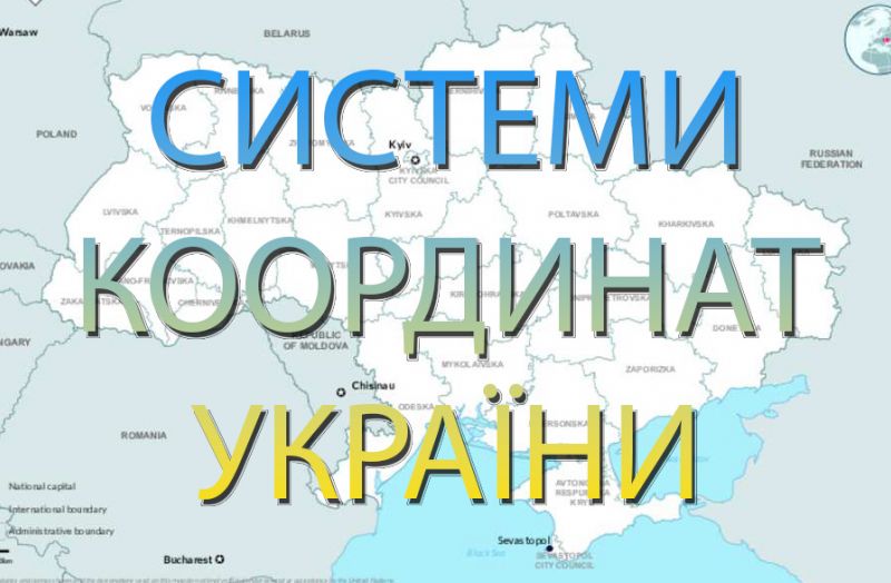
We are excited to announce the launch of a new interactive map of Ukrainian coordinate systems on our website.
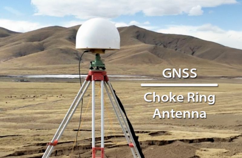
The "Choke Ring" antenna type has several key advantages, especially in the fields of geodesy and satellite navigation systems like GPS
Today, a revolution is underway, driven by technological innovations that promise not only to improve the accuracy of land measurements but also to enhance the overall efficiency and sustainability of farming practices.


