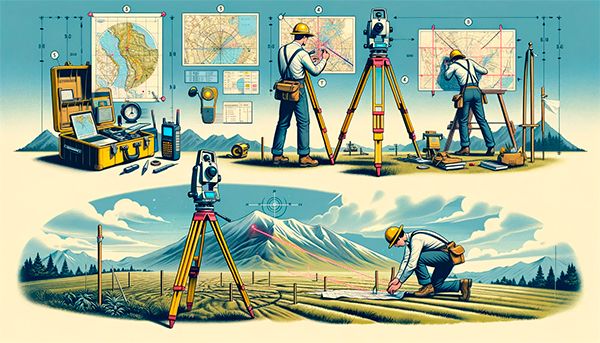
Staking out points is the process of transferring the coordinates of objects or boundaries defined on a plan or map to the locality.
Articles
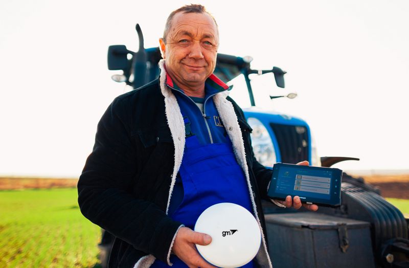
The GM SMART GNSS receiver is a high-tech device specially designed to meet the needs of modern precision agriculture. GM SMART provides high-precision navigation for agricultural machinery, allowing for the most efficient use of resources and time in the field.
Deformation monitoring is a vital aspect of ensuring the stability and safety of engineering structures, whether they are bridges, buildings, dams, or road surfaces.
Precise inspection of green plantings is necessary to maintain their health and longevity.
GPS/GNSS systems for area measurement allow farmers to obtain accurate data about their lands, which is important for planning crops and allocating resources. The Agronavigation system provides more precise and rational use of land, leading to increased crop yields and reduced expenses.
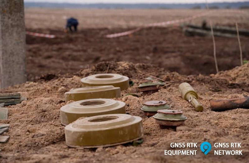
The issue of demining territories is a critically important aspect of modern security. Dangerous mines and bombs from past conflicts remain in various parts of the world, posing a threat to civilian populations and impeding infrastructure development.
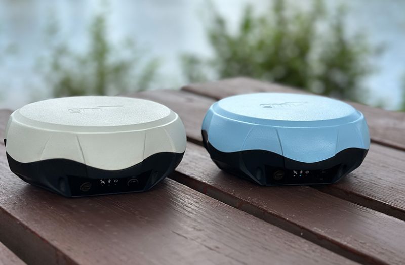
GNSS (Global Navigation Satellite Systems) receivers allow us to accurately determine our location, navigate in unfamiliar places, and plan routes efficiently.
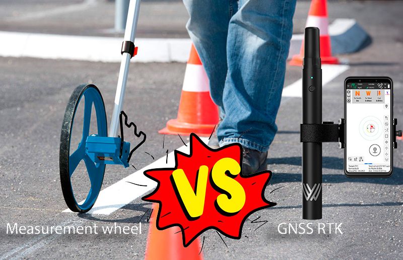
In the field of geodesy and land management, modern technologies offer many ways to measure distances and determine the coordinates of points.
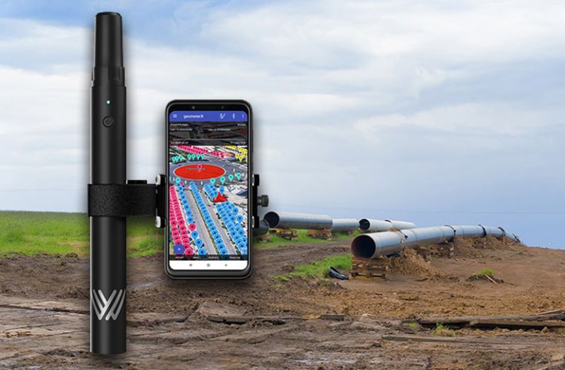
In pipeline construction, precision and efficiency are crucial for successful project execution. Construction companies providing pipeline laying services constantly seek innovative solutions to streamline their workflows, reduce costs, and enhance accuracy.
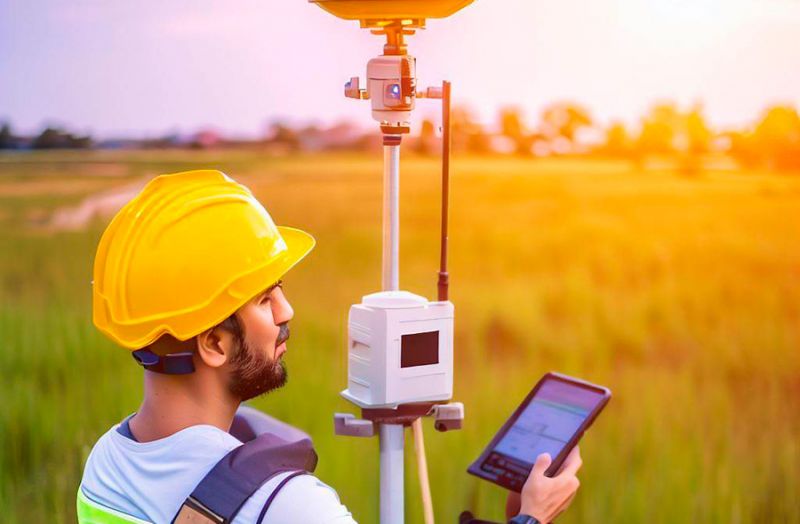
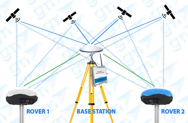
GNSS RTK (Real-Time Kinematic) is an advanced technology that provides high-precision real-time positioning. In this article, we will look at the basics of GNSS RTK, the different types of equipment and surveying kits, and their advantages and applications in various industries.
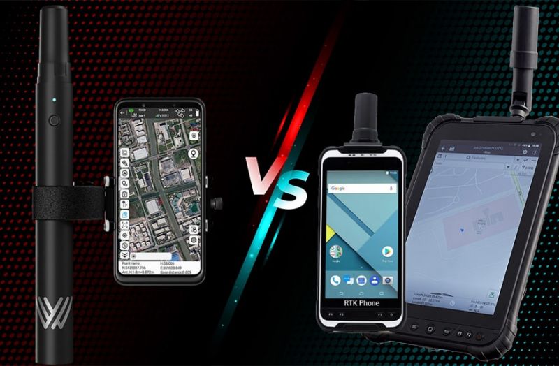
In this article, we'll look at why the compact Walker RTK GNSS receiver outperforms smartphones and tablets with a built-in RTK module.
In this article, we will explain RTK technology and how it differs from standard GNSS positioning and other high-accuracy methods like PPP (Precise Point Positioning).


