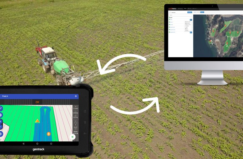
The constant growth of prices on seeds, fertilizers, and agrochemicals requires the farmer to use them effectively and control them. Precision farming technologies have been developed to change the rules of the game in the tillage market. Their use makes it possible to reduce the cost of fuel, fertilizers, and herbicides by 10-15% on average. Control over tillage of each square meter of the field significantly increases the efficiency of agricultural machinery use and labor productivity.
Blog
Welcome to the Geometer blog — your expert source on precision agriculture, surveying, and GIS technologies. Here you’ll find valuable articles on the use of modern GNSS RTK receivers, software solutions for agribusiness, practical examples of agronavigation systems, equipment reviews, and helpful tips for professionals striving for accuracy and efficiency.
We share our experience, introduce innovations in GNSS and geodetic technology, and publish how-to guides, case studies, and answers to the most common customer questions. Our blog is useful for agronomists, engineers, farmers, surveyors, and anyone working with geospatial data.
Read, learn, and implement modern solutions with Geometer.
Global Navigation Satellite System, or GNSS, is a 24-hour positioning and timing system based on artificial satellites which can provide users with precise three-dimensional coordinates, speed and time. The measurement of GNSS global positioning system has a certain degree of error as GNSS signal is too fragile to be affected by error sources, for example atmospheric factors, of which the ionosphere is an important factor affecting GNSS measurement. While as the direct influential factors to atmosphere, solar activities such as sunspots and flare will disturb the ionosphere non-periodically.
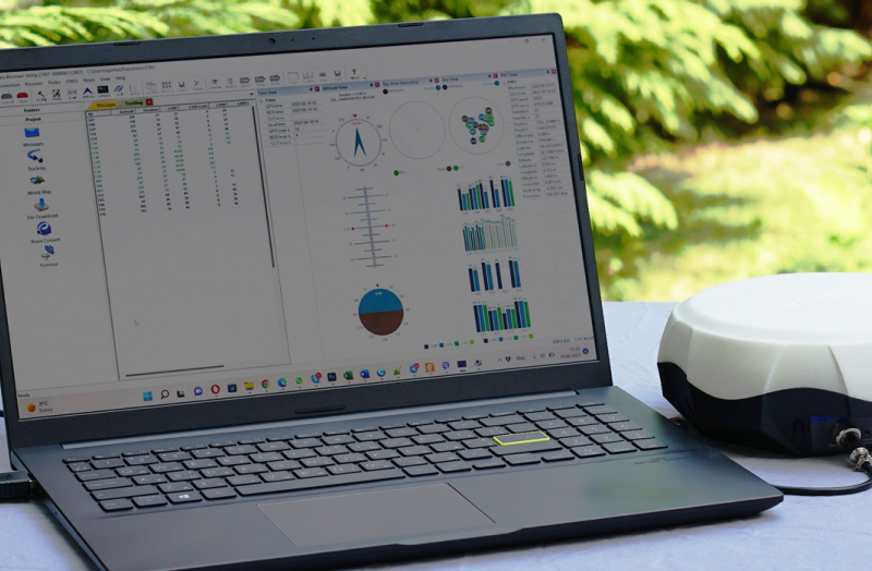
GNSS RTK technology - assumes the highest accuracy that can be achieved today with satellite positioning systems. Through RTK corrections, absolute precision is gained with RTK rovers reaching 1 cm or less in real-time.
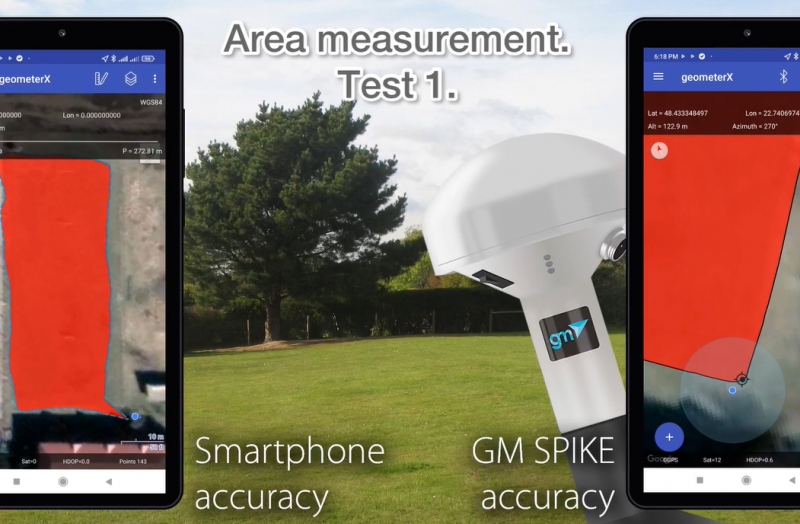
Purpose of the test.
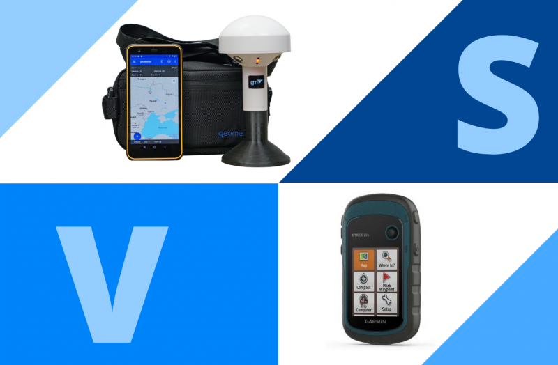
Compare the accuracy of measuring land area using the built-in GPS smartphone receiver, external GNSS receiver GM Spike and RTK receiver GM Smart M to identify the most accurate and optimal device to perform work on measuring the area of land areas.
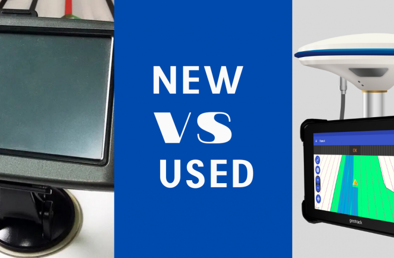
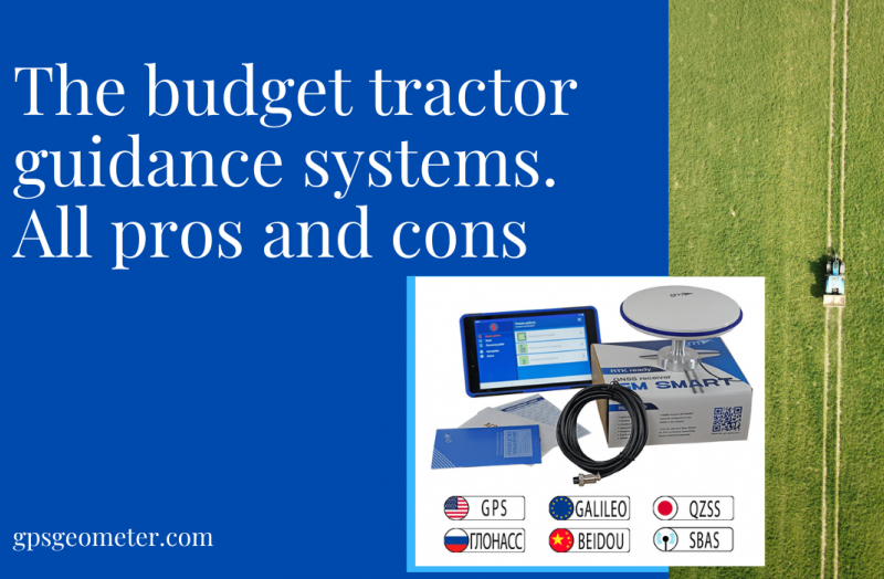
It is known that installed on a tractor or combine harvester agricultural guidance system from the first hours of use saves 15-20% of money on fuel, fertilizers and salary. Having decided to buy an agricultural guidance system, farmers are faced with a dilemma - to buy a new one at once or save money and buy used.
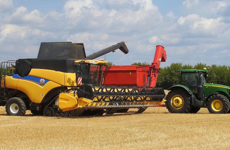
Service companies providing agricultural machinery rental services are maximally interested in its efficient use because every additional hour or acre of work is profitable.
Geometer continues to work and support its customers in these difficult times. We are always ready to lend a helping hand to farmers and clients from other industries for the supply of high-quality high-precision GPS/GNSS and RTK equipment.
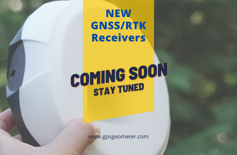
The Geometer International team is in the final stages of releasing a new series of products named GM PRO gen 2 - a new hi-tech design, improved ergonomics and the latest technologies.
Not many people know, but our devices can also be used as useful devices for fishing and other outdoor activities. Here are some examples of how to use Geometer devices for outdoor activities.
Works to measure the area of a field or any land area is a common operation not only among farmers but also in other industries working with land resources. As long as such work is one-time or its scale is small and does not require centimeter accuracy, the requirements for the selection of GPS devices for measuring the area are minimal. In this case, ordinary smartphones with free apps, travel navigators, etc. are used.
It is known that agronavigation gives a qualitative increase in the efficiency of agricultural machinery use. Additional 10-15% of saved resources allow investing them into the improvement of the fleet of machinery, its technical re-equipment or expansion of areas under crops.
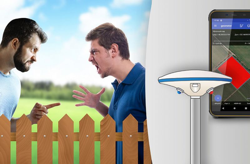
Let the inhabitants of your territorial community breathe a sigh of relief as you measure subject lands and create your own interactive single base. Let disappear the neighborhood wars


