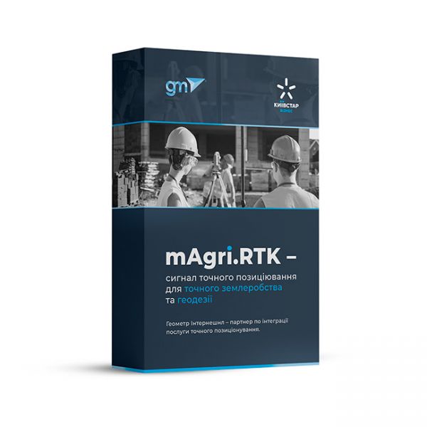
mAgri.RTK 365 is a modern RTK signal from the operator "Kyivstar" for agricultural, geodetic, and land management works with centimeter accuracy. As an official integrator, we offer you a ready-made solution for efficient and accurate operation of your GNSS equipment throughout Ukraine.
The GNSS RTK receiver eRTK10 mini is a high-performance network receiver with IMU and camera, designed to boost your productivity beyond expectations. This GNSS base solution supports multiple frequencies from various satellite constellations, ensuring enhanced positioning accuracy.
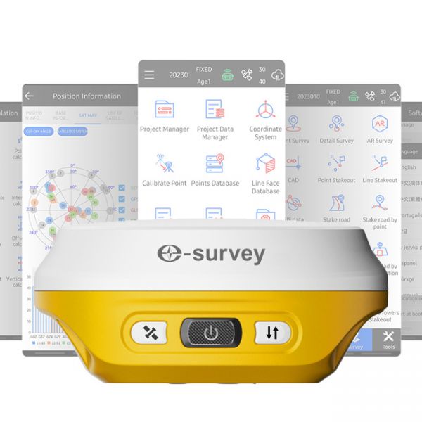
The eSurvey E200 is a high-performance network receiver with tilt compensation (IMU). It features an upgraded GNSS module with 1408 channels to boost your productivity and exceed expectations. This GNSS rover connects both to GNSS correction networks via built-in 4G and through radio communication. It supports multiple frequencies from different satellite constellations, ensuring enhanced positioning accuracy.
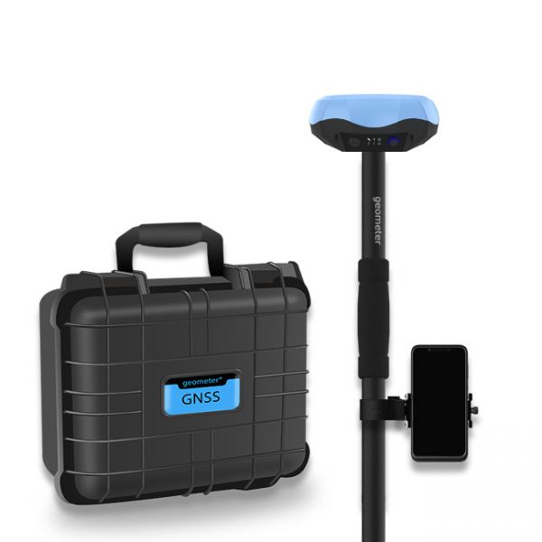
Single-frequency GNSS kit with decimeter accuracy on a free satellite signal, and with the ability to obtain RTK L1 accuracy. A new series of GPS/GNSS receivers in a compact GM PRO mini body. The kit consists of a protected smartphone with the "geometer SCOUT" software installed and a GM PRO model S GNSS receiver that communicates with the smartphone using a Bluetooth.
The FJ Dynamics AT2 autopilot can be installed on tractors with an articulated frame. You can choose the precision with which you need to work with the autopilot: 10-20 cm with the new PPP (Precise Point Positioning) technology, or 2.5 cm with RTK (Real-Time Kinematic).
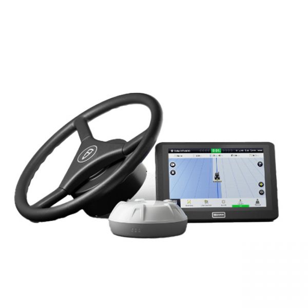
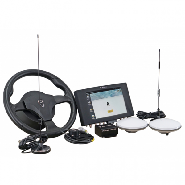
A complete set of automatic steering system, which could be installed on agricultural machinery of any manufacturer. Excellent equipment, which has everything you need. The brand and model of the tractor does not matter, because the kit has everything you need to install on any agricultural machinery. Accuracy of 2.5 cm when working from a base station, or from any RTK CORS provider.
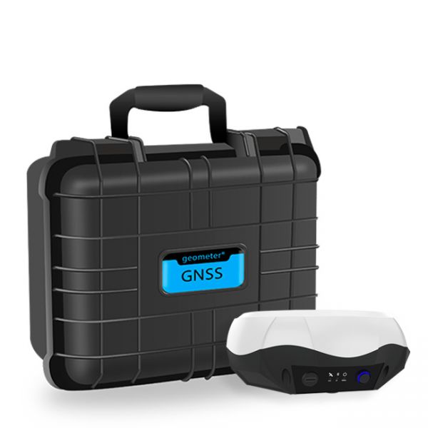
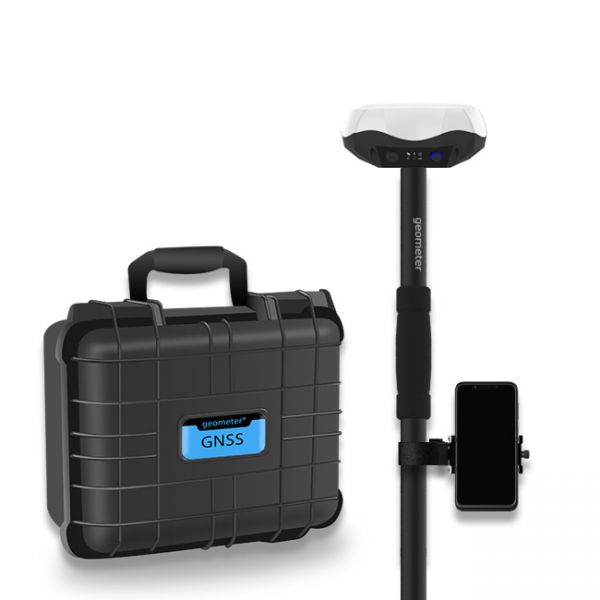
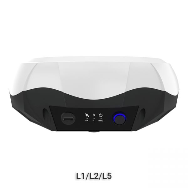
Multi-frequency GNSS GM PRO L KIT. The receiver has 965 channels, receives a signal from satellite systems GPS, GLONASS, GALILEO, BEIDOU, QZSS, IRNSS. Receiver works with L1, L2, L5 bands. The receiver is designed for performing of surveying works, such as: stakeout, determination of the exact boundaries of sites, land surveying, field area measurement, stake out points, stake out lines, GIS survey, stakeout roads, cross-section measurement, slope staking, power line survey, height control and other functions. The kit comes in a sealed shockproof box.
The single-frequency GNSS receiver "GM PRO S" of improved accuracy on a free satellite signal. A new series of receivers in a compact GM PRO mini body. The receiver has 335 channels for communication with satellites. Works with all satellite systems: GPS, GLONASS, GALILEO, BEIDOU, QZSS and can work in any country in the world. It can be used in geodesy, agriculture, forestry and other industries where high accuracy is important.
Special kit for positioning with centimeter RTK accuracy and obtaining high-precision coordinates. The set consists of a dual-frequency GNSS receiver GM PRO model U, rugged smartphone with geodetic software installed.
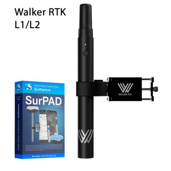
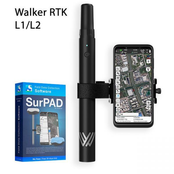
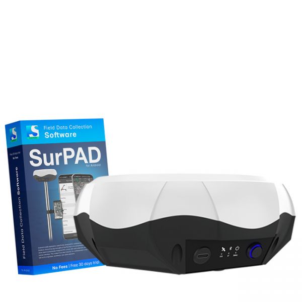
Walker RTK with professional surveying mobile application SurPAD is the ideal kit for surveying, as well as for 3D surveying manholes, sidewalks, curbs, steps, landscaping, mapping trenches, and underground utilities such as electricity, gas, water, and sewer lines
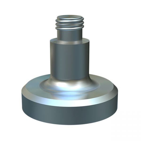
The magnetic holder is designed to attach the GNSS receiver to the equipment without any inconvenience. The holder is compatible with receivers that have a 5/8" thread.
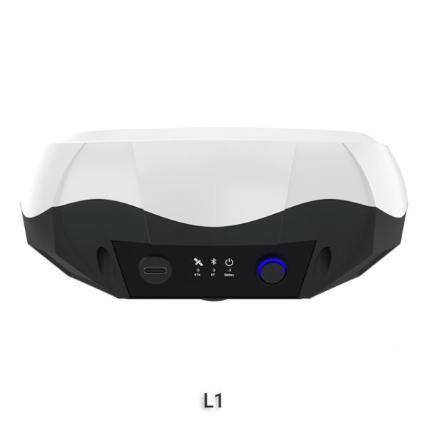
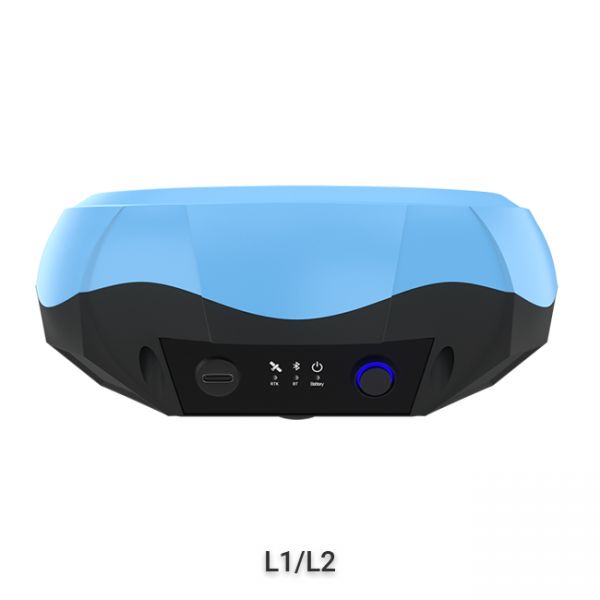
The "GM PRO U" GNSS RTK receiver is a dual-frequency (L1, L2) 184-channel RTK receiver that works simultaneously with several satellite systems and receives corrections in RTCM 3.X.X format. This receiver is compatible with any software. A new series of GM PRO mini receivers in a compact case.
GNSS RTK receiver GM PRO L is a multi-frequency (L1, L2, L5) 965-channel receiver with an antenna that operates simultaneously with GPS, GLONASS, GALILEO, BeiDou, QZSS, IRNSS satellite systems and accepts corrections in the RTCM 3.X.X format. This receiver is designed to work with any software. Designed for professional use in surveying, agriculture, forestry and other industries where high accuracy is important.
Full set of equipment Walker RTK with professional surveying mobile application SurPAD 4.2 is the ideal kit for surveying, as well as for 3D surveying manholes, sidewalks, curbs, steps, landscaping, mapping trenches, and underground utilities such as electricity, gas, water, and sewer lines
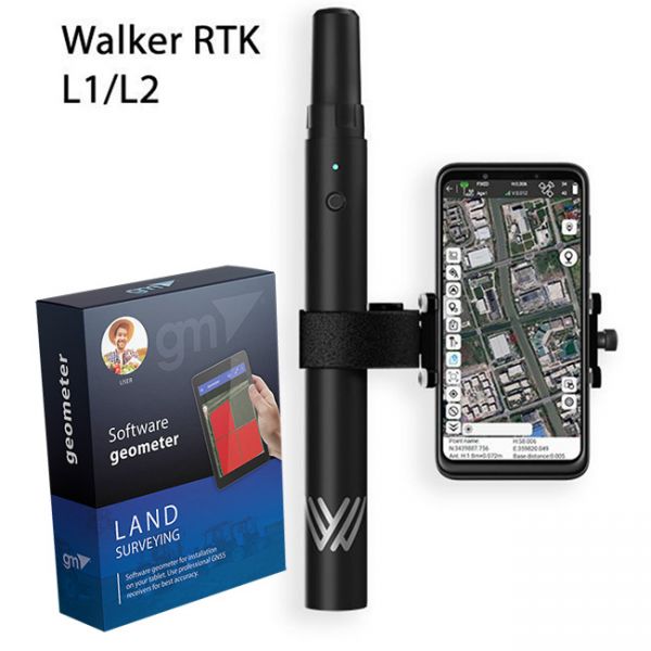
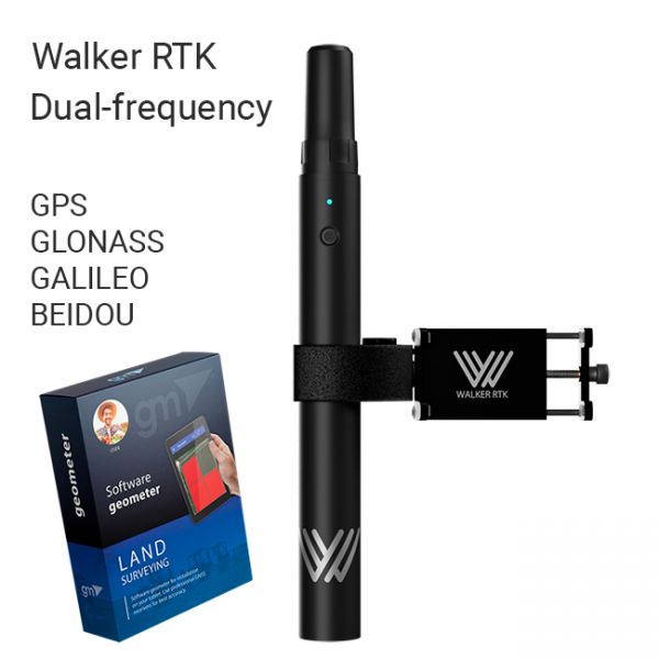
The complete Walker RTK equipment set with the Geometer SCOUT mobile app for Android is the perfect solution for point collection during infrastructure digitization in the WGS84 geographic coordinate system. It is also ideal for 3D surveying of inspection manholes, sidewalks, curbs, steps, landscape elements, as well as mapping trenches and underground utilities such as electrical, gas, water, and sewage networks.
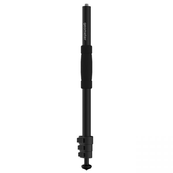
A telescopic aluminum survey pole TS180 is designed for comfortable surveying. The four-section construction delivers reliable stability with the help of solid flip locks.
The Walker RTK with geometer mobile app is a compact and easy-to-use ideal tool for 3D surveying manholes, sidewalks, curbs, steps, landscaping, mapping trenches, and underground utilities such as electricity, gas, water, and sewer lines.
Multi-frequency GNSS RTK receiver "GM PRO L" with surveying software SurPad 4.2 for staking-out points, staking-out properties, cadastral measurements and much more.
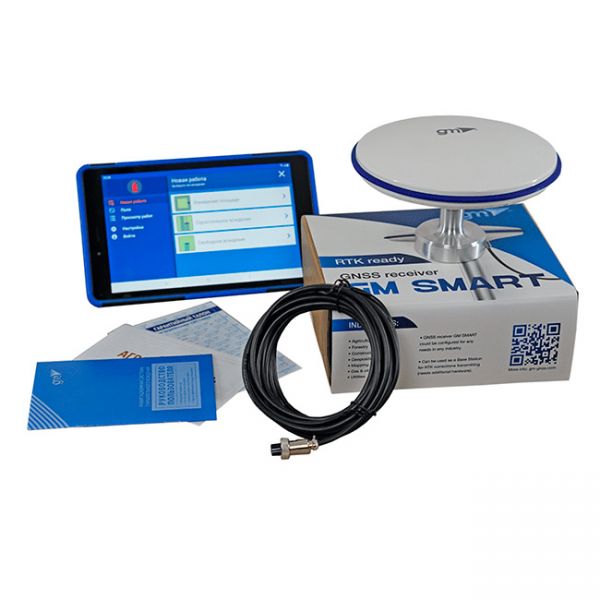
Agricultural guidance system geotrack Lite RTK L1/L2 is based on Samsung's 8.7-inch display with LTE, geotrack software and dual-frequency GM SMART receiver L1/L2. This is a low-cost agricultural guidance system with RTK that works with an accuracy of up to 2.5 cm. To get centimeter accuracy, you need RTK corrections or your own base station.
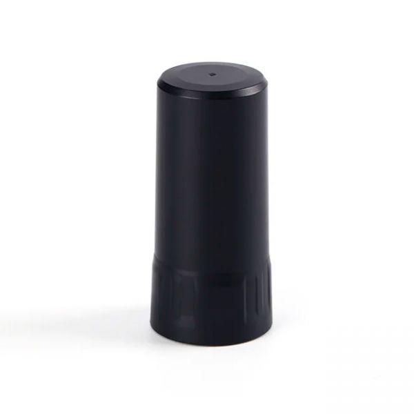
Dual-frequency (L1, L2) helical antenna H1 is a high performance GNSS antenna designed for high-precision positioning services, with a stable phase center that maintains high gain at lower elevation positions, providing excellent satellite signal tracking. The antenna is small in size, light in weight and low in power consumption, which can effectively reduce the load of the device and improve the battery life of the device.
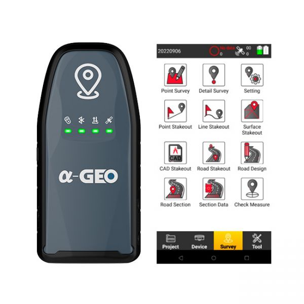
The AlphaGeo GeoPuls is a high-precision RTK receiver that combines advanced GNSS technology with laser measurement, delivering a new level of efficiency in geodetic work.
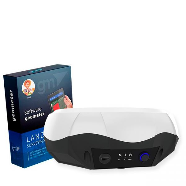
Bundle: GM PRO S single-frequency GNSS receiver and geometer SCOUT software for field area measurement (Smoothing mode + RTK L1) is the optimal kit for accurate measurements (measurement of area, distances, work with points). The GM PRO S external GNSS receiver is used to improve the sensitivity and quality of the GPS/GNSS signal.
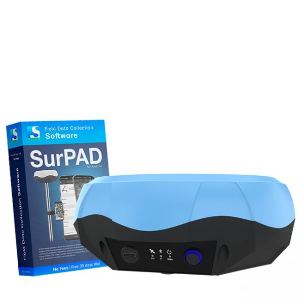
The Dual-frequency GNSS "GM PRO U" with SurPad 4.2 for Android works in frequency ranges L1, L2 has 184 channels for performing of surveying works, such as: stakeout, determining clear boundaries of areas, land surveying, field area measurement, stake out points, stake out lines, GIS survey, stakeout roads, cross-section measurement, slope staking, power line survey, height control and other functions.
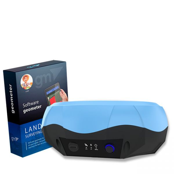
Bundle: Dual-frequency GNSS receiver GM PRO U and geometer SCOUT application for stakin-out and precise measurements. This is the optimal set for accurate measurements (measurement of area, distances, accurate points). The GM PRO U receiver is used to obtain centimeter positioning accuracy.


