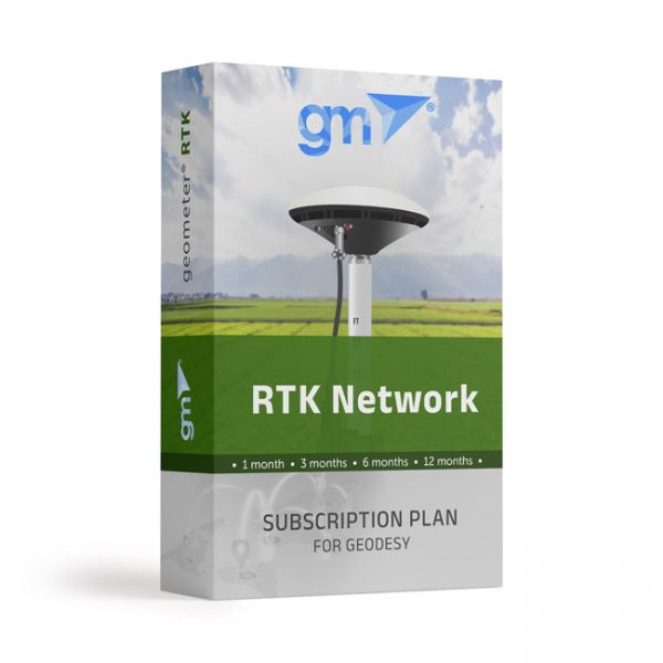
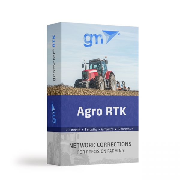
Real-time GNSS (RTK) network package for 1 month. Includes functions from a single base station - "nearest" and network solutions - Automax, I-Max, VRS.
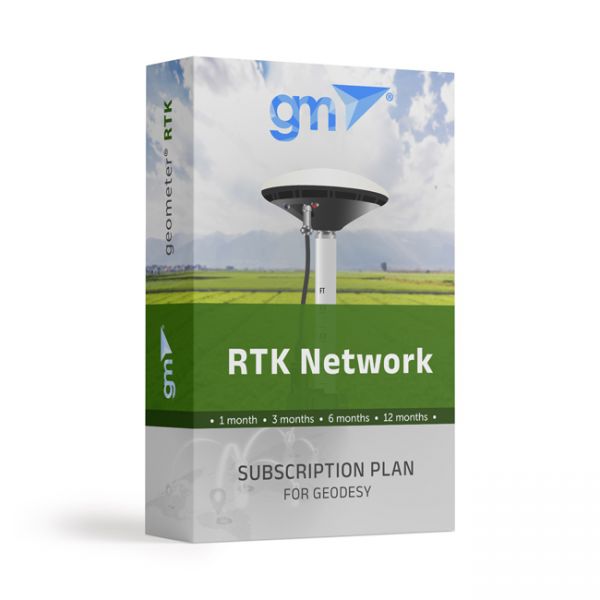
Real-time GNSS (RTK) network package for a quarter (3 months). Includes functions from a single base station - "nearest" and network solutions - Automax, I-Max, VRS.
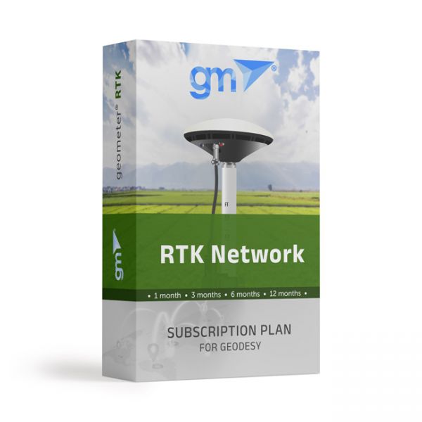
Real-time GNSS (RTK) network basic package for 6 months. Includes functions from a single base station - "nearest" and network solutions - Automax, I-Max, VRS.
Real-time GNSS (RTK) network package for a year (12 months). Includes functions from a single base station - "nearest" and network solutions - Automax, I-Max, VRS.
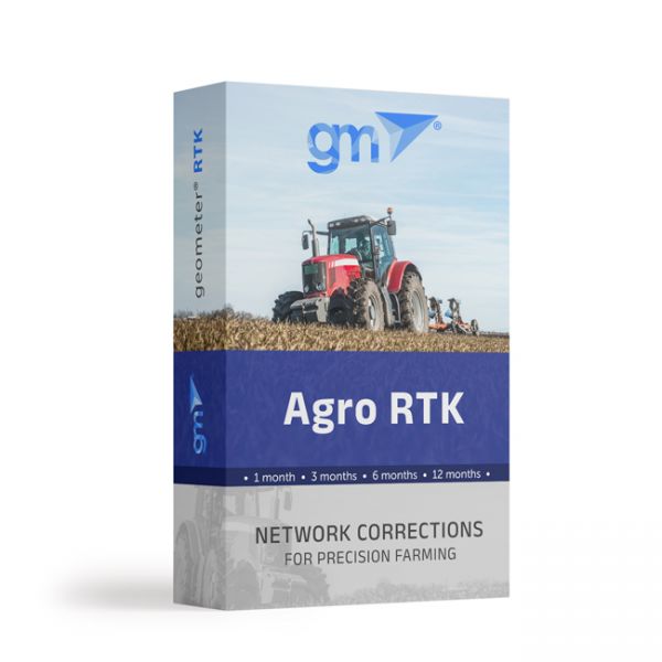
The Agro RTK package includes connection to the GNSS base station network for one month. Provides the ability to connect agricultural machinery to the RTK signal of the network of base stations.
The Agro RTK package includes connection to the GNSS base station network for three months. Provides the ability to connect agricultural machinery to the RTK signal of the network of base stations.
The Agro RTK package includes connection to the GNSS base station network for six months. Provides the ability to connect agricultural machinery to the RTK signal of the network of base stations.
The Agro RTK package includes connection to the GNSS base station network for one year. Provides the ability to connect agricultural machinery to the RTK signal of the network of base stations.
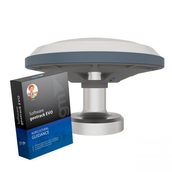
The kit of equipment: agricultural mobile application geotrack with a GM SMART receiver. This is the optimal kit that will allow you to create your own agricultural guidance system (tractor gps, sprayer gps) with stable accuracy of 15 cm from pass-to-pass.
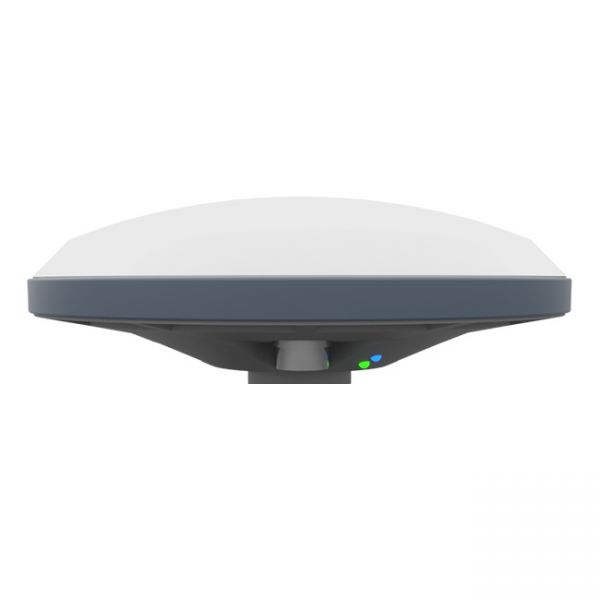
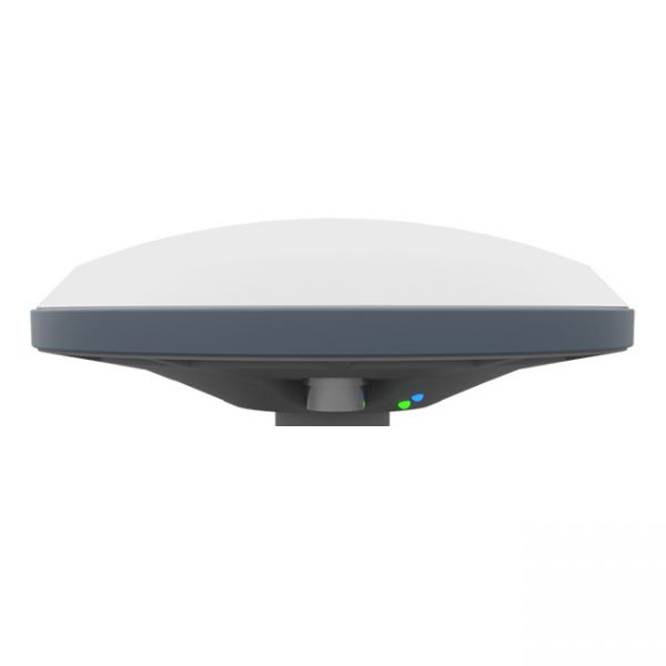
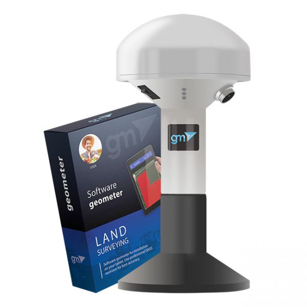
Dual-frequency GM SMART GNSS RTK receiver is a new generation receiver for working with any navigation programs and the ability to increase accuracy up to 1 cm. It has 698 channels to work with all available satellite systems: GPS, GLONASS, GALILEO, BEIDOU, QZSS, IRNSS, SBAS.
The updated version of the GNSS receiver GM SMART now supports Precise Point Positioning (PPP) technology from the Galileo HAS satellite system. This next-generation receiver is compatible with any navigation software, providing high accuracy and reliable positioning. GM SMART supports RTK mode on L1/L2/L5 frequencies, allowing for real-time corrections to achieve centimeter-level accuracy.
GM SMART GNSS receiver is a new generation receiver for working with any navigation programs and the ability to increase accuracy up to 1 cm. It has 335 channels to work with all available satellite systems: GPS, GLONASS, GALILEO, BEIDOU, QZSS, IRNSS, SBAS.
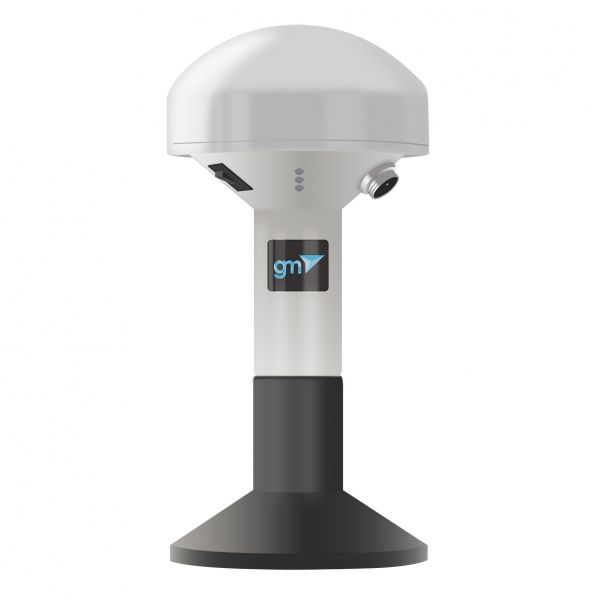
GM Spike GNSS receiver is an external receiver with a Bluetooth module, designed to improve the sensitivity and quality of the GPS signal and increase the accuracy of geolocation.
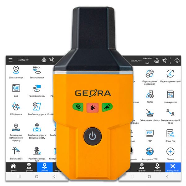
The GEORA GNSS RTK receiver is a very compact and lightweight geodetic GNSS device. It has a sealed and impact-resistant body and can withstand a drop from a height of 1.6 meters
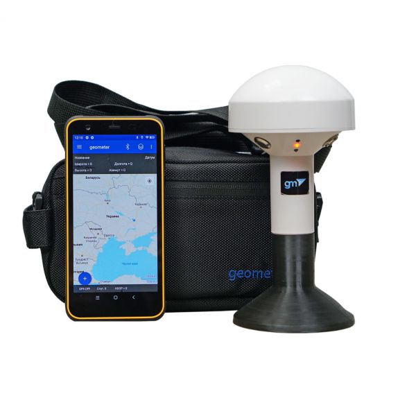
The kit of equipment: geometer mobile application (Android OS), for precise land area measurement with rugged smartphone and GM Spike receiver (SBAS). The geometer SCOUT GM Spike kit opens up completely new opportunities for agronomists in measuring the area of agricultural fields. Extremely protected device with new unique functions will allow every agronomist, manager or accountant to perform their work more efficiently and effectively.
The kit of equipment: geometer mobile application (Android OS) for precise land area measurement with a GM Spike receiver (SBAS). This is the optimal kit for measuring the area, distances and marking waypoints. An external receiver with an antenna is used to improve the sensitivity and quality of the GPS/GNSS signal. You will be able to carry out the necessary work with the area, namely: to measure the area of fields of any shape, measure distances, create electronic maps, cutting unproductive areas and many other operations.


