Handheld Dual-Frequency GNSS receiver Walker RTK SurPAD
Handheld Dual-Frequency GNSS receiver Walker RTK SurPAD
- Online Payment
- Payment by Invoice
- Bank Transfer
- Air Mail Delivery
- Delivery via DPD
- Delivery via DHL
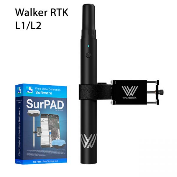
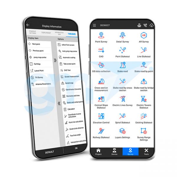
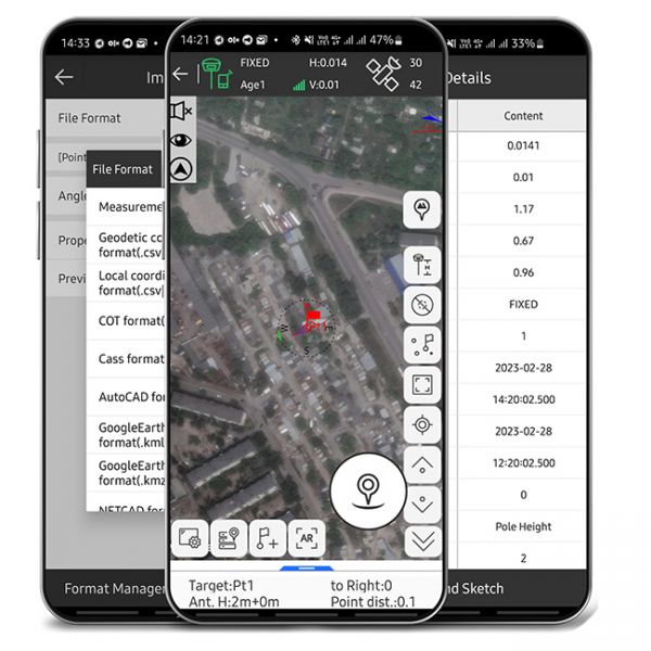
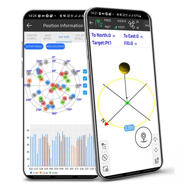
Walker RTK with professional surveying mobile application SurPAD is the ideal kit for surveying, as well as for 3D surveying manholes, sidewalks, curbs, steps, landscaping, mapping trenches, and underground utilities such as electricity, gas, water, and sewer lines.
Walker RTK is a dual-frequency GNSS receiver (L1, L2) for high-precision coordinate surveying in RTK (Real Time Kinematic) mode.
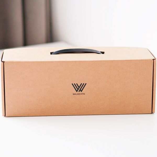
The package includes the Walker RTK GNSS receiver, Helical antenna, bracket for attaching a smartphone to the receiver, SurPAD mobile app, carton box packaging, or optional transportation case.
A Helical antenna is suitable for 90% of tasks, but if desired, you can connect a classic geodesic antenna through the SMA connector. If necessary, the receiver can be attached to milestones and used as a classic surveying RTK receiver. The receiver has a standardized 5/8" thread that fits virtually all accessories (milestones, tripods, etc.).
The Walker RTK GNSS receiver housing is made of a rugged aluminum alloy with a special coating. This makes the device highly resistant to shock and protects it from mechanical damage.
The Walker RTK is suitable for a variety of applications where high coordinate accuracy is required. Thanks to its lightweight design, weighing only 250 grams, and its compact design, the Walker RTK GNSS receiver is easier to use than classic survey receivers. It is quickly ready to use and requires no special and time-consuming setups. Simply turn it on via the power button and the receiver starts up automatically.
Walker RTK can track and determine geo-positioning by signals from all existing satellite systems. This allows for centimeter-level accuracy of the RTK solution within seconds.
GNSS signals processed by the Walker RTK GNSS receiver:
- GPS (L1C/A, L2C)
- GLONASS (L1OF, L2OF)
- GALILEO (E1B/C, E5b)
- BEIDOU (B1I, B2I)
- QZSS (L1C/A, L1S, L2C)
- SBAS (L1C/A)
The Walker RTK GNSS receiver is designed on a new energy-efficient architecture. It has a built-in rechargeable battery and provides 24 hours of continuous operation without recharging.
Thanks to outgoing NMEA messages, the Walker RTK GNSS receiver is fully compatible with any geolocation software, providing high accuracy and reliable RTK-corrected positioning.
Included with:
- GNSS receiver Walker RTK
- Helical antenna
- Software SurPAD
- Metal mount for a phone
- Cardboard package (standard)
- Storage and transport case (optional)
Dual frequency GNSS receiver applications Walker RTK:
- Geodesy and land surveying
- Diverse GIS systems
- Construction support
- Moving object management
- Forestry
- Landscape design
- Municipal Management
- Precision Farming
Languages supported by SurPad 4.2:
- English,
- Chinese (2 versions),
- Japanese,
- Korean,
- Portuguese,
- Polish,
- Spanish,
- Turkish,
- Russian,
- Italian,
- Hungarian,
- Swedish,
- Serbian,
- Greek,
- French,
- Bulgarian,
- Slovenian,
- Czech,
- Suomi,
- German,
- Lithuanian,
- Vietnamese,
- Norwegian,
- Arabic,
- Thai.
Carton box packaging: 330*120*110 mm.
Support for NMEA Protocol
The GNSS RTK receiver uses standard NMEA messages, ensuring high compatibility with all types of software that support geolocation functions. This provides accurate and reliable coordinate determination.
Useful links
- Product page: SurPad App.
-
Product page Walker RTK
-
Dimensions (mm):310*32
-
Weight (kg):0.270 (0.525 with mount)
-
Manufacturer country:Ukraine
-
Accuracy:10 mm
-
Brand:geometer
-
Number of channels:184
-
Positioning horizontal accuracy:10 mm + 1 ppm CEP
-
Sattelite systems:GPS, Galileo, Glonass, Beidou
-
Bluetooth:4.0
-
Cold start:24 sec
-
Warm start:2 sec
-
Hot start:1 sec
-
Power supply :Battery
-
Ingress Protection:IP65
-
mount:aluminium alloy
-
Battery life:up to 15 hours
-
Tilt Compensation IMU:No
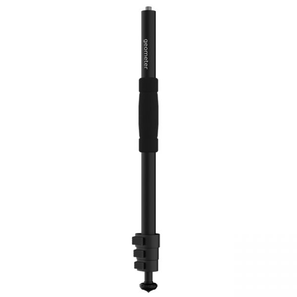
A telescopic aluminum survey pole TS180 is designed for comfortable surveying. The four-section construction delivers reliable stability with the help of solid flip locks.
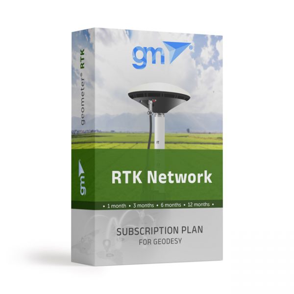
Real-time GNSS (RTK) network package for a quarter (3 months). Includes functions from a single base station - "nearest" and network solutions - Automax, I-Max, VRS.
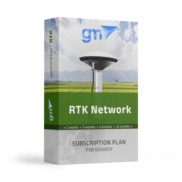
Real-time GNSS (RTK) network package for 1 month. Includes functions from a single base station - "nearest" and network solutions - Automax, I-Max, VRS.


