GNSS RTK Surveying Equipment Sets Geometer
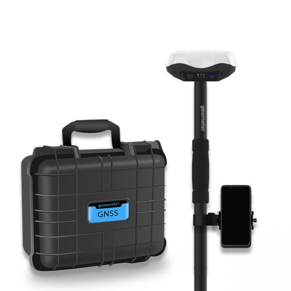
Multi-frequency GNSS GM PRO L KIT. The receiver has 965 channels, receives a signal from satellite systems GPS, GLONASS, GALILEO, BEIDOU, QZSS, IRNSS. Receiver works with L1, L2, L5 bands. The receiver is designed for performing of surveying works, such as: stakeout, determination of the exact boundaries of sites, land surveying, field area measurement, stake out points, stake out lines, GIS survey, stakeout roads, cross-section measurement, slope staking, power line survey, height control and other functions. The kit comes in a sealed shockproof box.
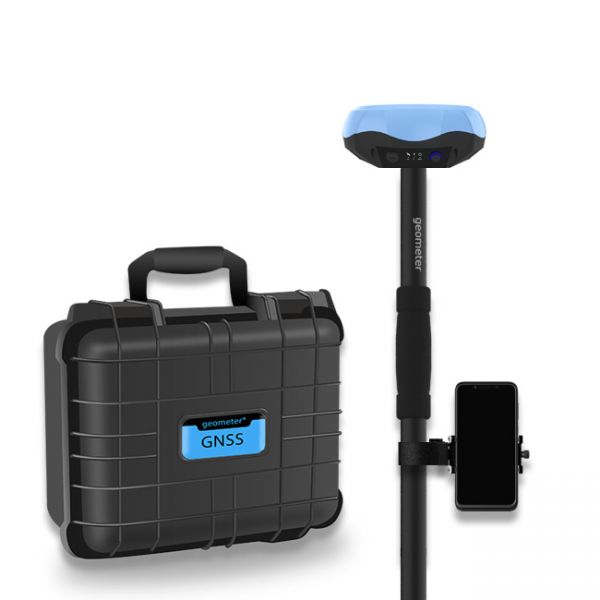
Special kit for positioning with centimeter RTK accuracy and obtaining high-precision coordinates. The set consists of a dual-frequency GNSS receiver GM PRO model U, rugged smartphone with geodetic software installed.
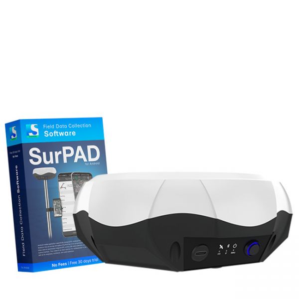
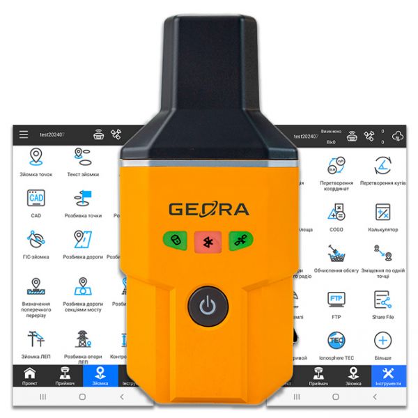
Multi-frequency GNSS RTK receiver "GM PRO L" with surveying software SurPad 4.2 for staking-out points, staking-out properties, cadastral measurements and much more.
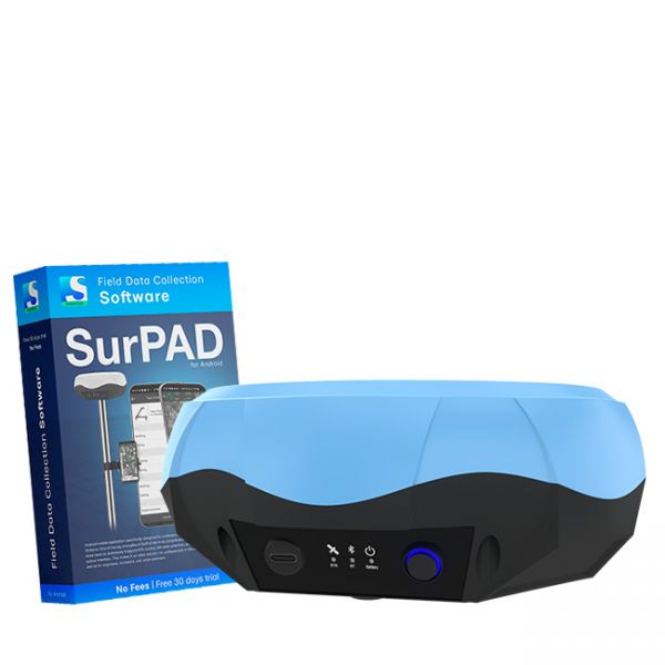
The Dual-frequency GNSS "GM PRO U" with SurPad 4.2 for Android works in frequency ranges L1, L2 has 184 channels for performing of surveying works, such as: stakeout, determining clear boundaries of areas, land surveying, field area measurement, stake out points, stake out lines, GIS survey, stakeout roads, cross-section measurement, slope staking, power line survey, height control and other functions.
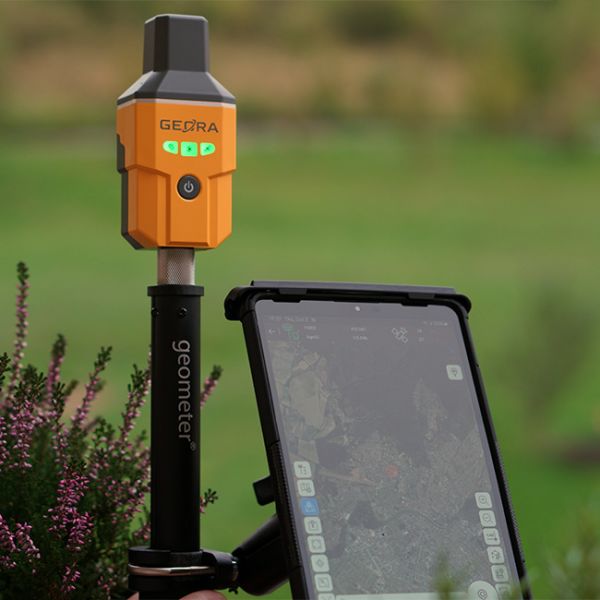
The GNSS RTK receiver GEORA IMU Tab KIT includes not only the compact GEORA GNSS RTK receiver with IMU and SurPad 4.2 software for Android but also a modern surveying tablet with all the necessary accessories for professional work.
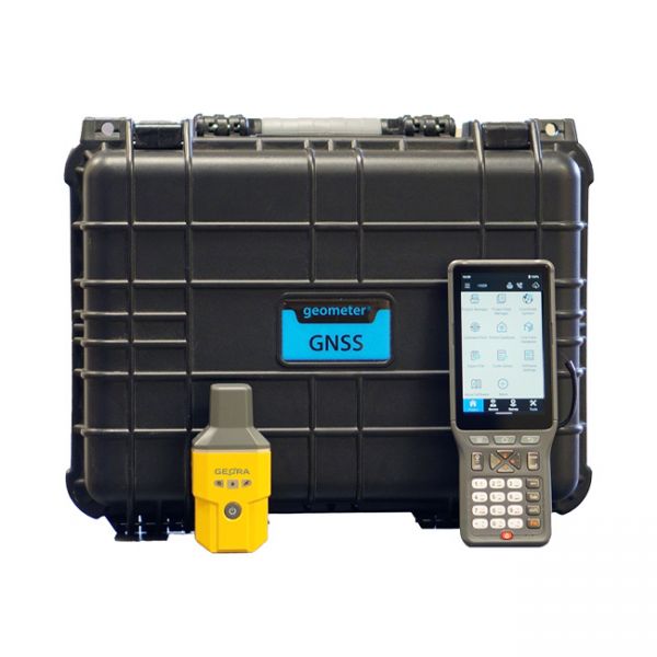
Surveying kit featuring the GNSS RTK receiver GEORA with a professional controller P94. The kit is delivered in a shockproof case or a portable bag.
The GEORA GNSS RTK receiver is a very compact and lightweight geodetic GNSS device. It has a sealed and impact-resistant body and can withstand a drop from a height of 1.6 meters


