GNSS RTK receiver Alpha GEO L2 with SurPRO
GNSS RTK receiver Alpha GEO L2 with SurPRO
- Online Payment
- Payment by Invoice
- Bank Transfer
- Air Mail Delivery
- Delivery via DPD
- Delivery via DHL
This product is for domestic market only. Export is not available.
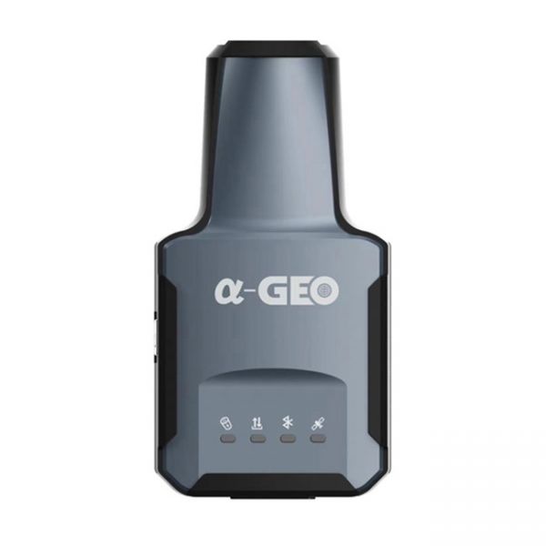
The compact GNSS RTK receiver Alpha GEO L2 with the SurPro software for Android.
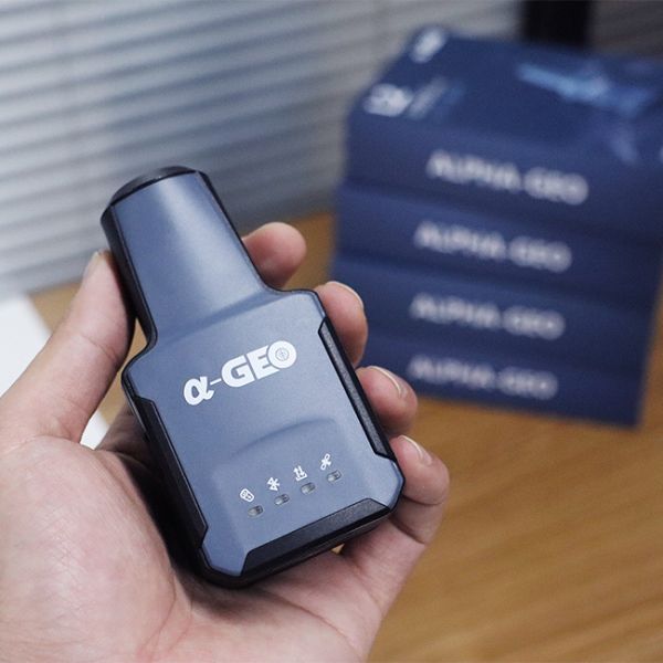
The GNSS RTK receiver Alpha GEO L2 is the smallest geodetic GNSS device, as it weighs only 170 g. However, despite its small size, it is equipped with a high-performance GNSS chip with 1408 channels. The GNSS RTK receiver Alpha GEO L2 supports all satellites and all frequency ranges, performing well even in challenging conditions. Additionally, this mini RTK receiver is equipped with a quick initialization IMU module, calibration-free and resistant to magnetic interference. All users can use this technology for surveying or setting out points at angles up to 60°. Thanks to its compact design, the GNSS RTK receiver Alpha GEO L2 is one of the best options for various measurement scenarios, such as field mapping, GIS, pipeline measurements, and more.
Package includes:
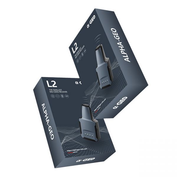
- Multifrequency GNSS receiver Alpha GEO L2;
- SurPro app for Android;
- Charging cable;
- Cardboard packaging.
The GNSS RTK receiver Alpha GEO L2 is a versatile and powerful GNSS receiver well-suited for a wide range of applications, including:
- Land surveying
- GIS
- Pipeline measurement
- Construction
- Agriculture
- Mining industry
- Forestry
RTK Method
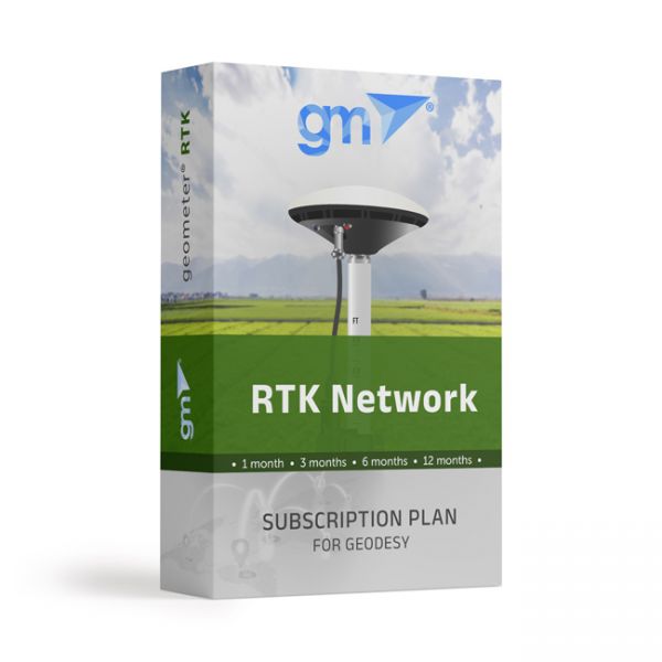
The essence of the GNSS RTK method lies in receiving the satellite signal simultaneously by a mobile rover at the point, and by a base station at a known static point. The base records the difference in calculated and actual data and transmits the RTK correction to the rover. For the Alpha GEO L2 receiver, flexible setting of corrections from any available network transmitting corrections via the RTCM protocol is provided. GeoMeter company offers an effective solution - connecting GNSS RTK receivers to the RTK signal from a network of base stations. You can subscribe to RTK (receiving RTK corrections on the receiver) for different periods: a month, three months, six months, or a year. The multifrequency GNSS receiver Alpha GEO L2 allows for real-time geodetic measurements.
Support for NMEA protocol
The GNSS RTK receiver uses standard NMEA messages, ensuring high compatibility with all types of software that support geolocation functions. This provides accurate and reliable coordinate determination.
Increased productivity
Purchasing the multifrequency GNSS RTK Alpha GEO L2 is sensible for significantly increasing the productivity of your work: with satellite equipment, you will be able to perform significantly more measurements on your own than you would have done in the same time with a partner using optical equipment.
-
Dimensions (mm):118 * 52 * 36
-
Weight (kg):0,17
-
Manufacturer country:China
-
Accuracy:8 mm
-
Number of channels:1408
-
Positioning horizontal accuracy:8 mm + 1 ppm
-
Positioning vertical accuracy:15 mm + 1 ppm
-
Sattelite systems:GPS: L1 C/A, L2C, L2P, L5; GLONASS: L1 C/A, L1P, L2 C/A, L2P; Galileo: E1, E5a, E5b, AltBOC; BeiDou: B1, B2, B3; BeiDou Global Signal: B1C, B2a; QZSS: L1C, L2, L5, L1C/A; IRNSS1; SBAS: WAAS, EGNOS, MSAS, GAGAN
-
Frequency:1-20 Hz
-
Range of working temperatures:-20 °C to + 75 °C
-
Bluetooth:4.0
-
Cold start:< 30 sec
-
Hot start:< 3 sec
-
Power supply :Battery
-
Ingress Protection:IP67
-
Battery life:up to 8 hours
-
Tilt Compensation IMU:Yes
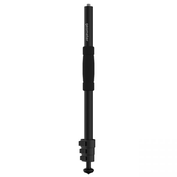
A telescopic aluminum survey pole TS180 is designed for comfortable surveying. The four-section construction delivers reliable stability with the help of solid flip locks.
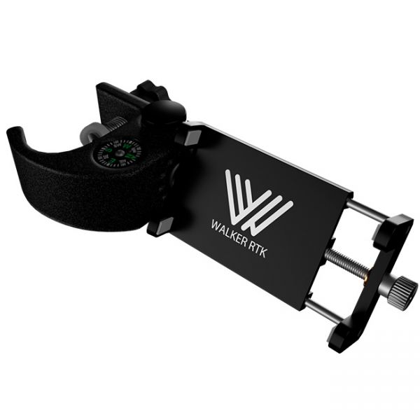
Universal aluminum holder designed to mount a smartphone for use on a geodetic pole or tripod.
Real-time GNSS (RTK) network package for a year (12 months). Includes functions from a single base station - "nearest" and network solutions - Automax, I-Max, VRS.


