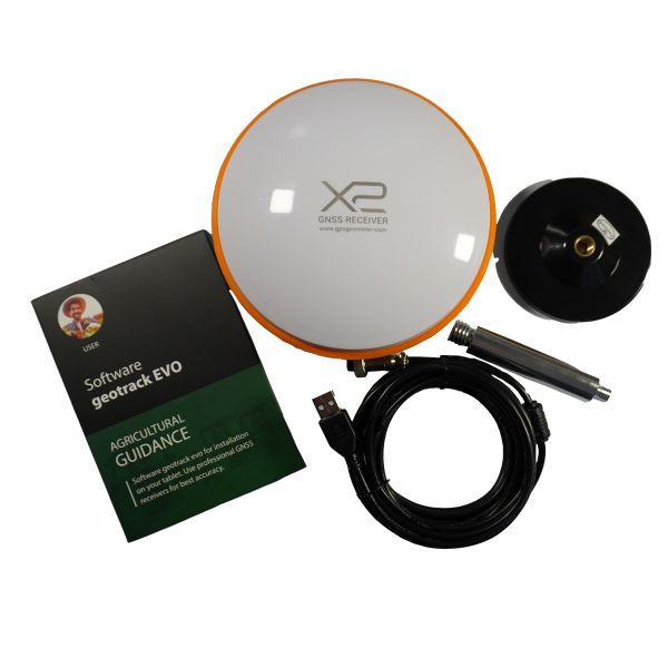
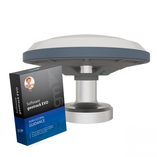
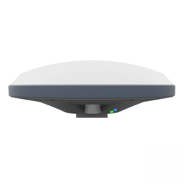
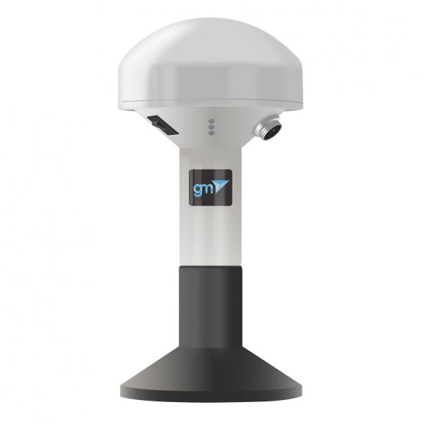
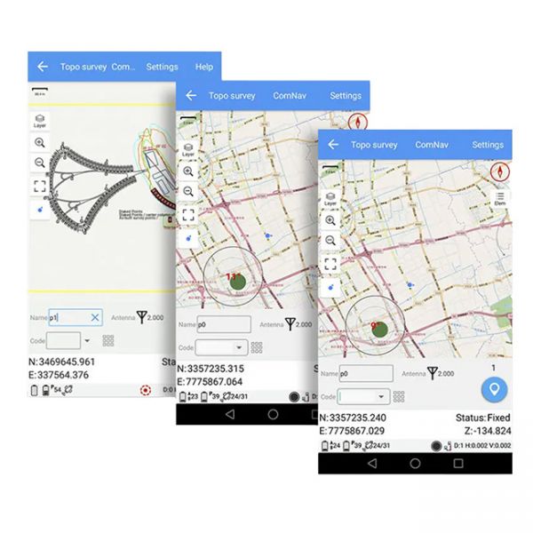
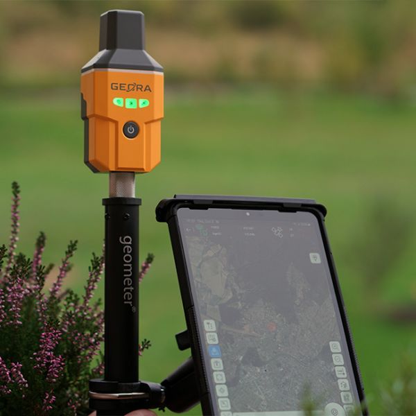
The Geotrack software with the GNSS X2 receiver for your tablet or smartphone is an excellent solution for creating an agricultural guidance system, providing high precision in managing wide working implements during field operations such as spraying, fertilizing, and applying plant protection products. The set is fully ready for use: it includes the Geotrack software and the external GNSS X2 receiver. With this set, you will be able to increase the efficiency and accuracy of your fieldwork.
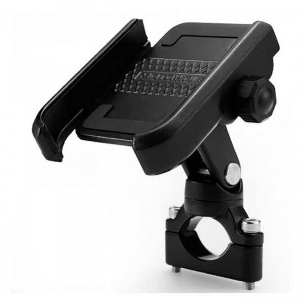
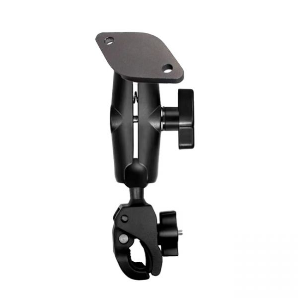
Universal metal mount designed for Geometer Scout device or other smartphones on a pipe (tripod, geodetic pole, etc.). Completely made of high quality durable material - aluminum. The swivel mount allows you to tilt the display when used at the desired angle - up to 360°. Allows you to mount devices with a diagonal of 4.5 to 7 inches.
The kit of equipment: agricultural mobile application geotrack with a GM SMART receiver. This is the optimal kit that will allow you to create your own agricultural guidance system (tractor gps, sprayer gps) with stable accuracy of 15 cm from pass-to-pass.
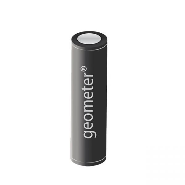
Geometer Power Station is a lithium-ion battery in an aluminum body with a capacity of 3400 mAh. This is a useful accessory for GNSS receivers and GeoMeter devices, which will allow you to get extra charge in the field.
Dual-frequency GM SMART GNSS RTK receiver is a new generation receiver for working with any navigation programs and the ability to increase accuracy up to 1 cm. It has 698 channels to work with all available satellite systems: GPS, GLONASS, GALILEO, BEIDOU, QZSS, IRNSS, SBAS.
The updated version of the GNSS receiver GM SMART now supports Precise Point Positioning (PPP) technology from the Galileo HAS satellite system. This next-generation receiver is compatible with any navigation software, providing high accuracy and reliable positioning. GM SMART supports RTK mode on L1/L2/L5 frequencies, allowing for real-time corrections to achieve centimeter-level accuracy.
GM SMART GNSS receiver is a new generation receiver for working with any navigation programs and the ability to increase accuracy up to 1 cm. It has 335 channels to work with all available satellite systems: GPS, GLONASS, GALILEO, BEIDOU, QZSS, IRNSS, SBAS.
GM Spike GNSS receiver is an external receiver with a Bluetooth module, designed to improve the sensitivity and quality of the GPS signal and increase the accuracy of geolocation.
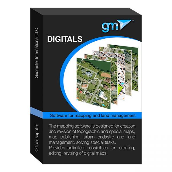
Digitals software provides automation of surveying work from processing field measurements to creating exchange files, cadastral plans and technical documentation. Does not require additional programs such as AutoCAD or MapInfo. Creates graphic and text documents based on templates, allowing you to automate the process and easily adapt it to any requirements
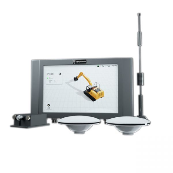
3D leveling system for excavators with high-precision real-time satellite positioning (RTK) and sensor modules on each boom arm.
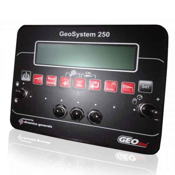
Electronic system of control and regulation of the norm of consumption of working liquid for sprayers up to 5 sections.
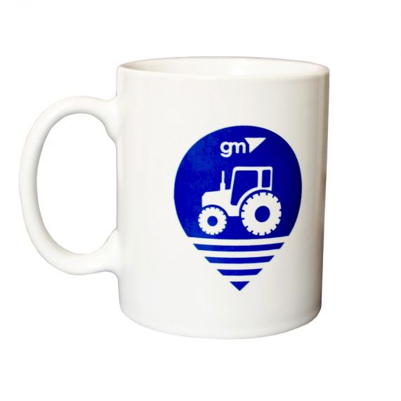
A ceramic cup with the image of a tractor and the Geometer company logo can be an original and pleasant gift.
Geodetic tablet holder for a surveying pole is an additional accessory for your surveying tablet.
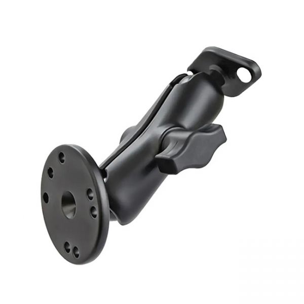
RAM mount for geotrack explorer guidance system
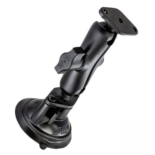
RAM mount for geotrack explorer guidance system
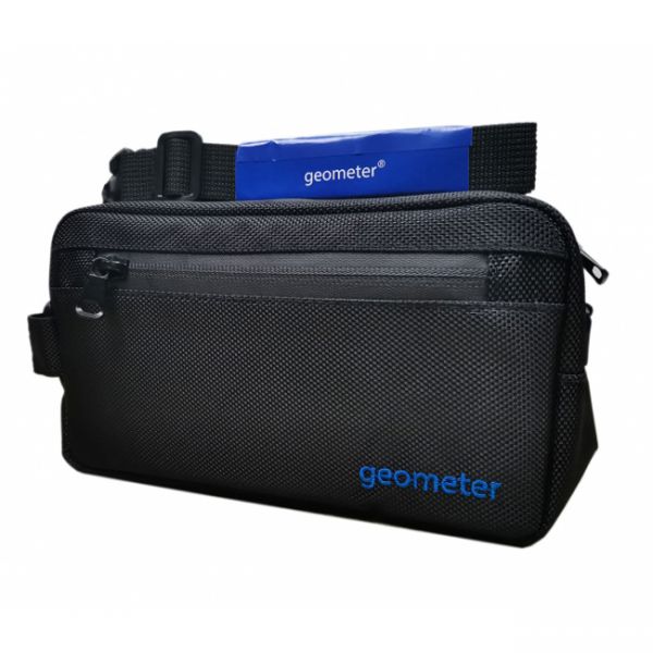
The branded Geometer bag is designed for convenient carrying of compact GNSS receivers and GNSS kits with phones and accessories, both in the field and urban environments.
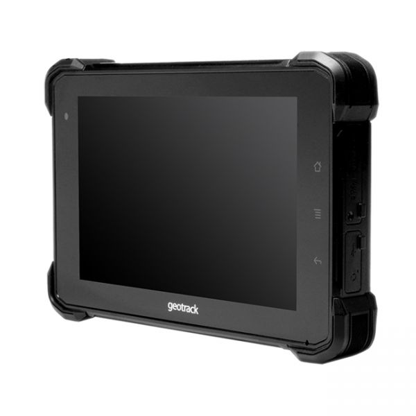
Industrial tablet geotrack with protection against water, dust, and falls
A geodetic software application designed for working with GNSS equipment on Android-based devices.
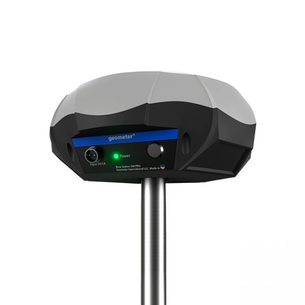
Multi-frequency GNSS RTK base station L1, L2, L5.
The GNSS RTK receiver GEORA IMU Tab KIT includes not only the compact GEORA GNSS RTK receiver with IMU and SurPad 4.2 software for Android but also a modern surveying tablet with all the necessary accessories for professional work.
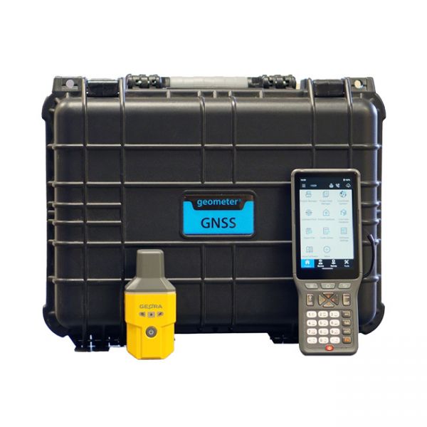
Surveying kit featuring the GNSS RTK receiver GEORA with a professional controller P94. The kit is delivered in a shockproof case or a portable bag.
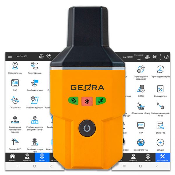
The GEORA GNSS RTK receiver is a very compact and lightweight geodetic GNSS device. It has a sealed and impact-resistant body and can withstand a drop from a height of 1.6 meters
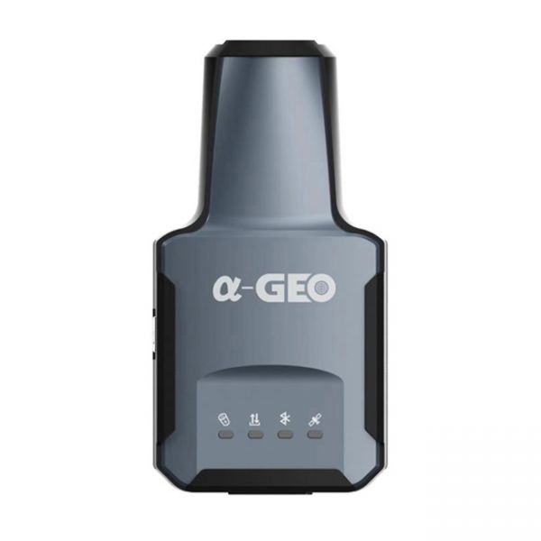
The compact GNSS RTK receiver AlphaGEO L2 with the SurPro software for Android.
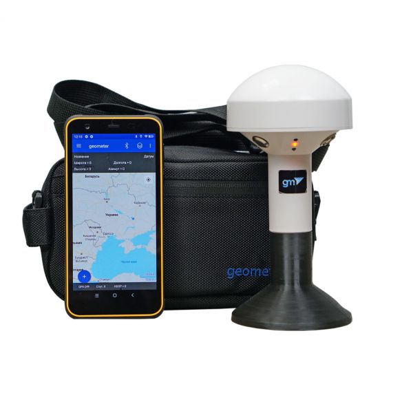
The kit of equipment: geometer mobile application (Android OS), for precise land area measurement with rugged smartphone and GM Spike receiver (SBAS). The geometer SCOUT GM Spike kit opens up completely new opportunities for agronomists in measuring the area of agricultural fields. Extremely protected device with new unique functions will allow every agronomist, manager or accountant to perform their work more efficiently and effectively.


