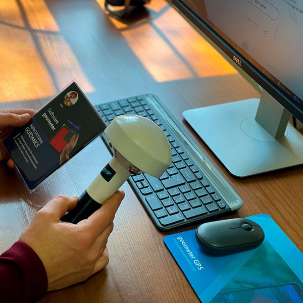
Geometer App with GM SPIKE receiver
Geometer App with GM SPIKE receiver
- Online Payment
- Payment by Invoice
- Bank Transfer
- Air Mail Delivery
- Delivery via DPD
- Delivery via DHL
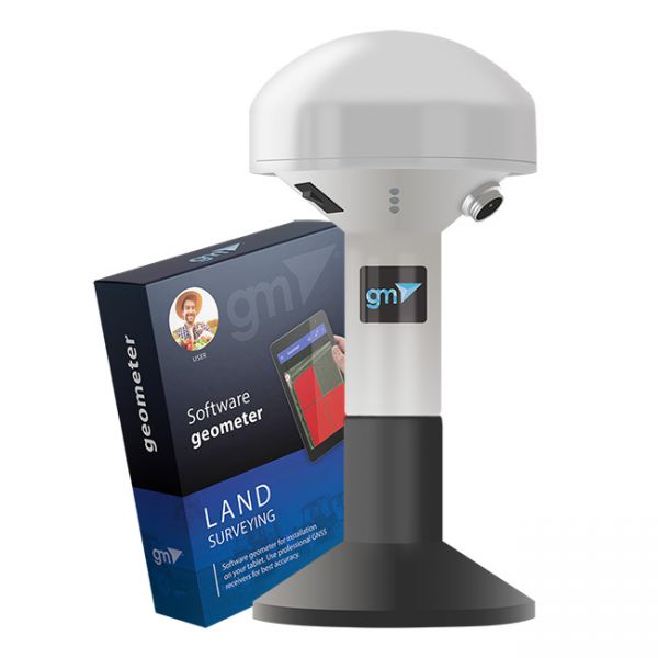
Kit of equipment: geometer mobile application for precise land area measurement for installation on a tablet or smartphone with a GM Spike receiver (SBAS). This is the optimal kit for measuring the area, distances and marking waypoints. An external receiver with an antenna is used to improve the sensitivity and quality of the GPS/GNSS signal. You will be able to carry out the necessary work with the area, namely: to measure the area of fields of any shape, measure distances, create electronic maps, cutting unproductive areas and many other operations.
EQUIPMENT:
- geometer SCOUT software;
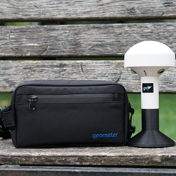
- GM Spike receiver with built-in battery;
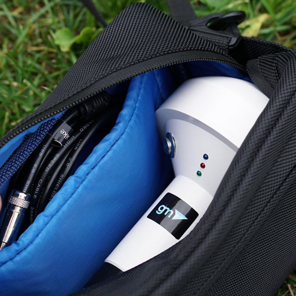
- Bag with strap for carrying and storage.
Geometer SCOUT software has specialized field measurement and positioning functions. You will be able to get your location more accurately, accurately measure area, length, get three-dimensional measurement, waypoints, save coordinates, enter your coordinates, digitize gardens and other objects, special markings on the ground, cutting plots (holes), embedding new objects. The program has an intuitive menu, so it does not require special user training.
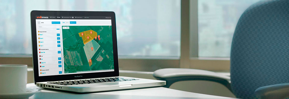
Synchronization of fields and works via Wi-Fi/3G/4G/LTE with the Agroprofile portal will greatly facilitate work with the device and will allow automatic transfer of received measurements to the free portal www.agroprofile.com for convenient planning and control of agricultural work. This will allow you to keep all your fields and jobs in one place, and more effectively control all workflows.
FEATURES:
- Measurement of small areas
- Creating a field map
- Instant view on Google Maps
- Counting the number of rows when working with wide-cut equipment
- Connecting additional devices via Bluetooth
- Working with soil density meter
- Dividing of fields
- Cutting plots inside (holes)
- Field markup
- Determination of area
- Determination of distances
- Synchronization with Agroprofile
Accuracy of area measurement:
Accuracy of positioning:
Support for programs and operating systems:
Operating system:
Android
version 9 or higher
Software:
geometer SCOUT
Useful links
-
Product page geometer SCOUT
- Download User Guide
-
Product page GM SPIKE
- Free farm management system Agroprofile
SOLVING LAND-RELATED ISSUES
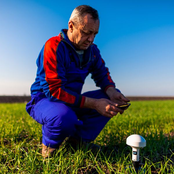
With the geometer SCOUT mobile application and GM SPIKE GNSS receiver, you can easily avoid any conflicting situations. Sometimes such questions arise when the equipment is hired for the amount of work performed. The tenant claims that his field area is 12 hectares, and you feel that this is not the case with fuel and other materials. Our GNSS kit will help you in such a situation. It is enough to go around the field exactly on its perimeter, and you will immediately see a picture of this field and its accurate area. With the help of the Agroprofile portal, you will be able to print a field map with full information about it. An RTK receiver kit may be required to obtain high-precision coordinates.
DATA SECURITY AND CONVENIENCE OF WORKING WITH COLLEAGUES
Agricultural mobile application geometer SCOUT installed on a device with Android OS is a personalized device. Log in to your Agroprofile account and sync fields. Share notes and other data with colleagues within the same company. Data exchange takes place via a secure protocol. No one but you will be able to access your data. Your Agroprofile account is password protected. You can put a password on your smartphone in one of the available options: PIN code, face recognition, graphic password.
WORK WITH (SOIL DENSITY METER) PENETROMETER
Geometer SCOUT can connect to additional devices via Bluetooth and receive data from them. When working with the Digital Penetrometer, the soil density parameters for the measured points are added to the waypoints. The result is displayed on the display of the device geometer Scout in the form of a graph, and is also saved for report generation. When synchronizing, measurement data is sent to the online profile of Agroprofile to save the complete history of field research, as well as to receive advanced reports.
DATA TRANSFER AND CLOUD TECHNOLOGIES
The supplemented capabilities of the Agroprofile online platform have been specially developed taking into account the technologies of the Geometer SCOUT device. Direct synchronization of data between employees of one company within the company profile. Store a database of your fields on all your devices and have secure access to them 24/7 using the Agroprofile system. You can use the measured object files in any program, thanks to the built-in file export capabilities. You can export data in the following formats: kml, utm, mgrs, txt, csv, user date.
LARGE SCREEN FOR MAXIMUM CONVENIENCE
Geometer SCOUT is equipped with a modern screen with IPS technology and a resolution of HD 720x1440 pixels. The increased screen brightness of 400 nits will allow you to perform work with great comfort, even on a bright sunny day. Geometer SCOUT has scratch-resistant Gorilla Glass. Using geometer to measure the area of fields is easy, simple and convenient!
DIVIDING THE FIELDS
Geometer SCOUT has an intuitive menu, and you can divide the field into several sections in one of several ways. Make the most of geometer SCOUT. Do I need to measure the field into several parts? To do this, just touch the desired place on the screen. And the field area will be divided according to the parameters you need. You decide how to divide the field.
ALL FUNCTIONS IN ONE CLICK
Brand new geometer SCOUT software is both simple and functional. The new logic of the program will allow you to perform many functions and calculations in just one click. Whether it's measuring the area, dividing the area into several parts, cutting unproductive areas - all this you get with maximum convenience. New features: field marking, selection of the most convenient field trajectory, embedding circles in semi-automatic mode for the construction of center pivot irrigation systems, work in RTK mode, view measurements on Google maps in real time.
-
Dimensions (mm):110x180
-
Weight (kg):0.45 kg
-
Manufacturer country:Ukraine
-
Accuracy:50-70 cm
-
GNSS receiver type:GM Spike
-
Brand:geometer
-
Number of channels:72
-
Sattelite systems:GPS, Galileo, Glonass, Beidou
-
Frequency:1-10 Hz
-
Bluetooth:4.2
-
Cold start:29 sec
-
Warm start:5 sec
-
Hot start:1 sec
-
Power supply :Battery
-
Battery life:up to 8 hours
-
Tilt Compensation IMU:No
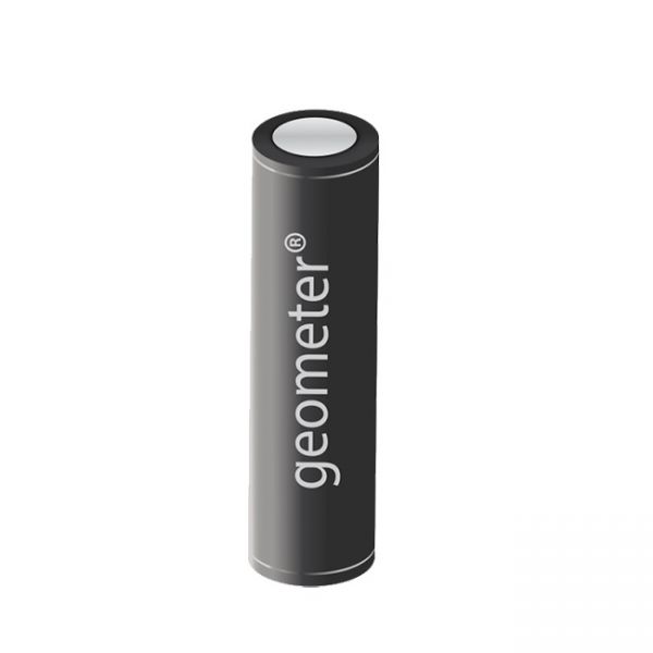
Geometer Power Station is a lithium-ion battery in an aluminum body with a capacity of 3400 mAh. This is a useful accessory for GNSS receivers and GeoMeter devices, which will allow you to get extra charge in the field.


