Software
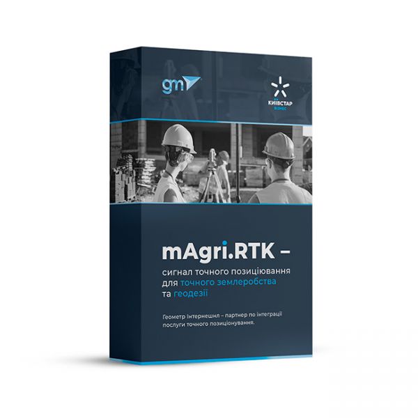
mAgri.RTK 365 is a modern RTK signal from the operator "Kyivstar" for agricultural, geodetic, and land management works with centimeter accuracy. As an official integrator, we offer you a ready-made solution for efficient and accurate operation of your GNSS equipment throughout Ukraine.
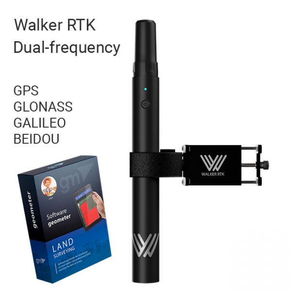
The Walker RTK with geometer mobile app is a compact and easy-to-use ideal tool for 3D surveying manholes, sidewalks, curbs, steps, landscaping, mapping trenches, and underground utilities such as electricity, gas, water, and sewer lines.
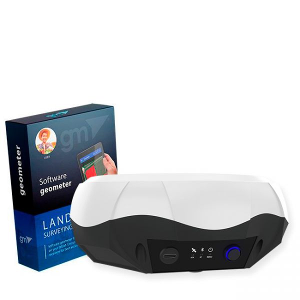
Bundle: GM PRO S single-frequency GNSS receiver and geometer SCOUT software for field area measurement (Smoothing mode + RTK L1) is the optimal kit for accurate measurements (measurement of area, distances, work with points). The GM PRO S external GNSS receiver is used to improve the sensitivity and quality of the GPS/GNSS signal.
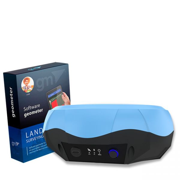
Bundle: Dual-frequency GNSS receiver GM PRO U and geometer SCOUT application for stakin-out and precise measurements. This is the optimal set for accurate measurements (measurement of area, distances, accurate points). The GM PRO U receiver is used to obtain centimeter positioning accuracy.
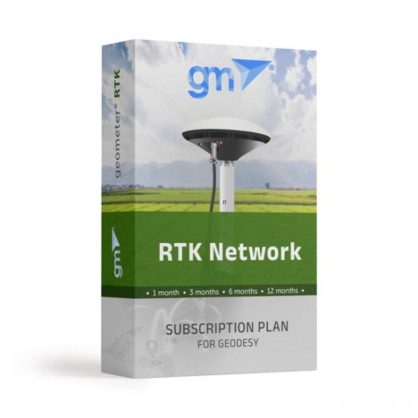
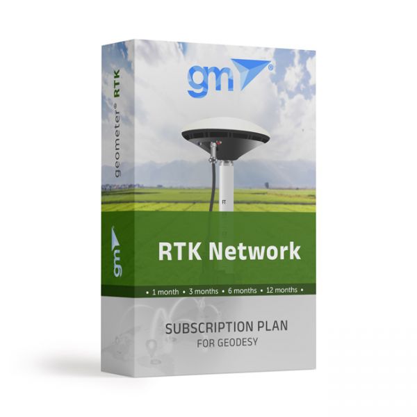
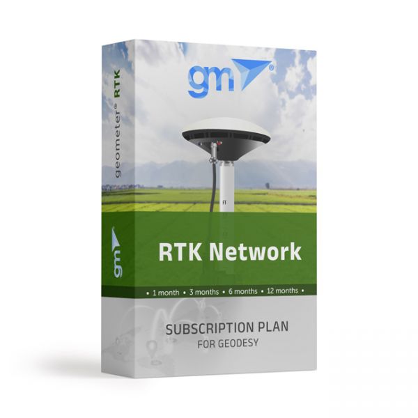
Real-time GNSS (RTK) network package for 1 month. Includes functions from a single base station - "nearest" and network solutions - Automax, I-Max, VRS.
Real-time GNSS (RTK) network package for a quarter (3 months). Includes functions from a single base station - "nearest" and network solutions - Automax, I-Max, VRS.
Real-time GNSS (RTK) network basic package for 6 months. Includes functions from a single base station - "nearest" and network solutions - Automax, I-Max, VRS.
Real-time GNSS (RTK) network package for a year (12 months). Includes functions from a single base station - "nearest" and network solutions - Automax, I-Max, VRS.
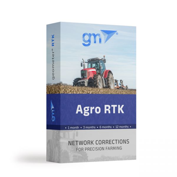
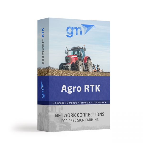
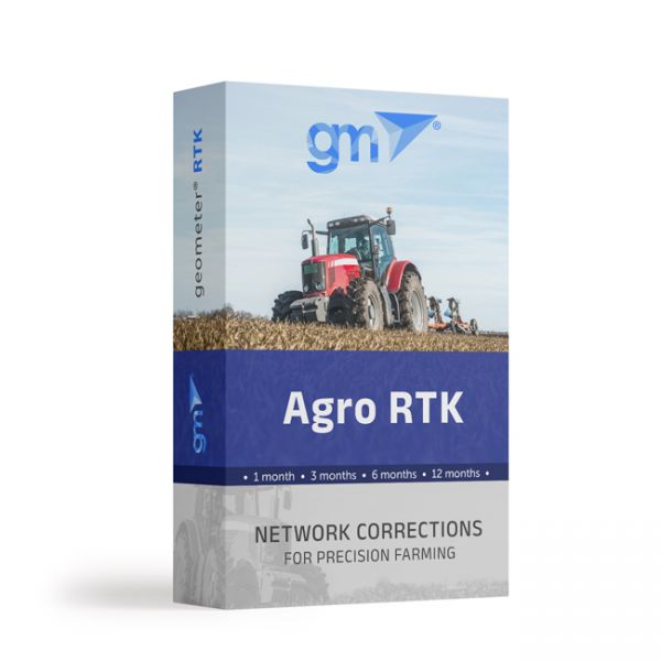
The Agro RTK package includes connection to the GNSS base station network for one month. Provides the ability to connect agricultural machinery to the RTK signal of the network of base stations.
The Agro RTK package includes connection to the GNSS base station network for three months. Provides the ability to connect agricultural machinery to the RTK signal of the network of base stations.
The Agro RTK package includes connection to the GNSS base station network for six months. Provides the ability to connect agricultural machinery to the RTK signal of the network of base stations.
The Agro RTK package includes connection to the GNSS base station network for one year. Provides the ability to connect agricultural machinery to the RTK signal of the network of base stations.
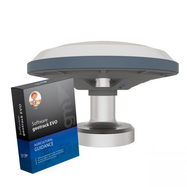
The kit of equipment: agricultural mobile application geotrack with a GM SMART receiver. This is the optimal kit that will allow you to create your own agricultural guidance system (tractor gps, sprayer gps) with stable accuracy of 15 cm from pass-to-pass.
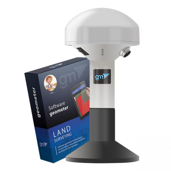
The kit of equipment: geometer mobile application (Android OS) for precise land area measurement with a GM Spike receiver (SBAS). This is the optimal kit for measuring the area, distances and marking waypoints. An external receiver with an antenna is used to improve the sensitivity and quality of the GPS/GNSS signal. You will be able to carry out the necessary work with the area, namely: to measure the area of fields of any shape, measure distances, create electronic maps, cutting unproductive areas and many other operations.


