Stationary GNSS base station RTK L1/L2
Stationary GNSS base station RTK L1/L2
- Cash upon receipt
- Bank transfer
- Privat 24
- Pickup from NovaPoshta Service
- NovaPoshta Service Courier
- Pickup from the store
- Other transport services
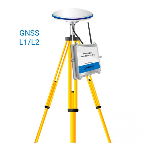
Stationary GNSS Base Station RTK L1/L2
An RTK base station is a device that sends a correction GNSS signal over the Internet, which allows you to increase the accuracy of conventional GPS/GNSS positioning (determination of coordinates) up to 2 cm.
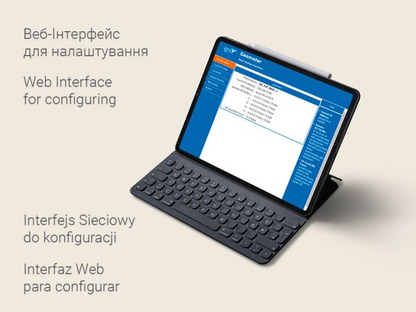
The main components of a base station are a GNSS receiver, as well as special software for managing and a data logging server. The base station can work autonomously, without the operator's involvement.
The signal from the base station is transmitted to the user's rover receiver, such as a navigation system installed in a tractor, within a radius of approximately 50 km.
A static Base Station can be set up with fixed coordinates at the installation point, as well as the Base Station can determine its coordinates automatically.
The base station can be combined into an RTK network with a correction signal broadcast with a radius of 50 km or more, creating a NEAREST network solution.
Advantages of own stationary base station:
- Internet connection: LAN connector (RJ45). Optionally, you can connect an external modem to access the Internet from a SIM card.
- Positioning accuracy: up to 2 cm.
- Range: 50 km.
- An unlimited number of rovers can be connected to a GNSS RTK base station.
- The base station receives satellite signals and broadcasts corrections from the GPS, GLONASS, GALILEO, BEIDOU systems.
- Own RTK Base Station provides unlimited access to DPS corrections without a subscription fee.
The base station is compatible with receivers of any manufacturer, which can receive corrections by RTCM protocol:
- CLAAS
- NovAtel
- Trimble
- Leica
- Topcon
- Javad
- South
- Stonex
- FJ Dynamics
- Hemisphere
- ComNav
- South
- Emlid
Stationary GNSS RTK Base Station L1/L2 is a professional surveying tool with an ideal ratio of reliability and cost.
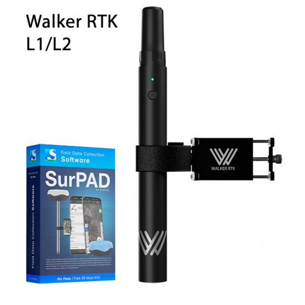
Walker RTK with professional surveying mobile application SurPAD is the ideal kit for surveying, as well as for 3D surveying manholes, sidewalks, curbs, steps, landscaping, mapping trenches, and underground utilities such as electricity, gas, water, and sewer lines
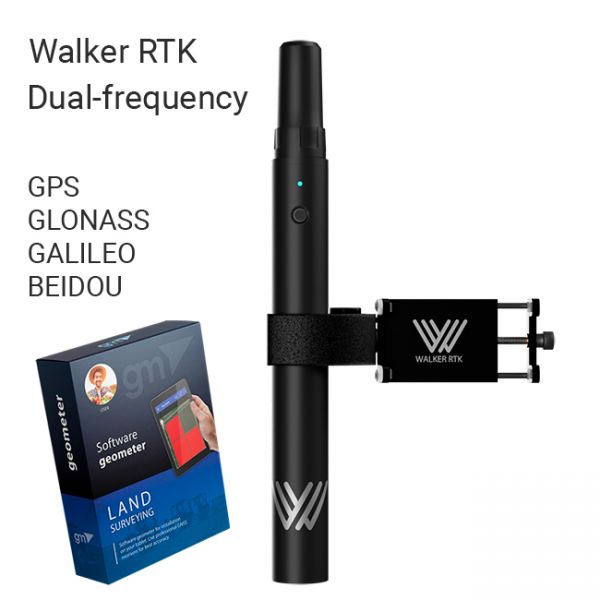
The Walker RTK with geometer mobile app is a compact and easy-to-use ideal tool for 3D surveying manholes, sidewalks, curbs, steps, landscaping, mapping trenches, and underground utilities such as electricity, gas, water, and sewer lines.


