

Meridian ML2 GNSS RTK Receiver with Laser
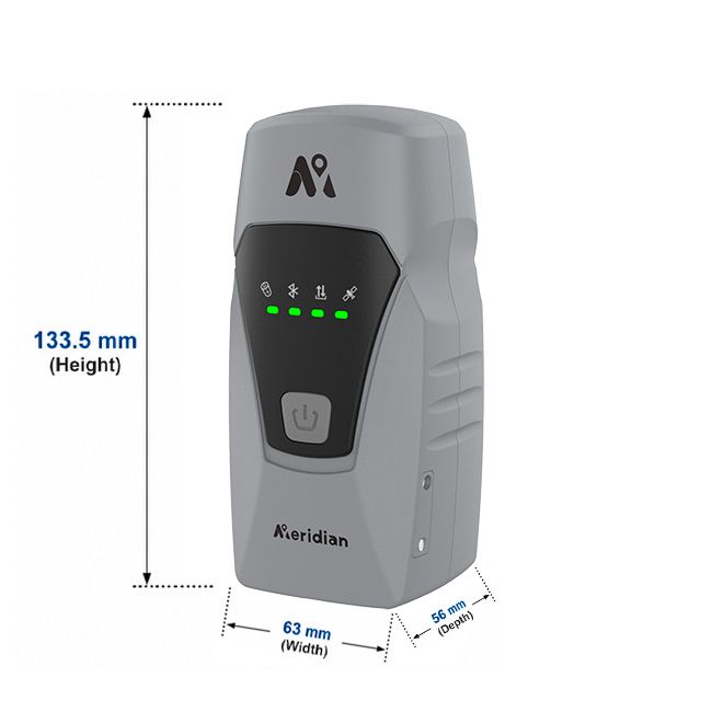


Meridian ML2 GNSS RTK Receiver with Laser
- Online Payment
- Payment by Invoice
- Bank Transfer
- Air Mail Delivery
- Delivery via DPD
- Delivery via DHL
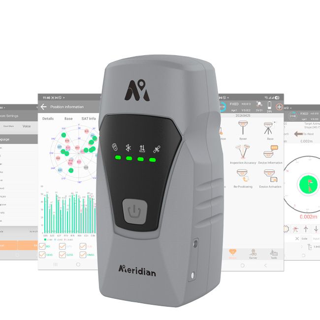
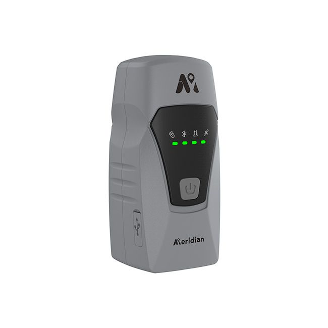
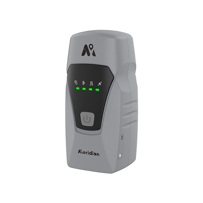
Meridian ML2 is a modern multi-functional GNSS RTK receiver that combines satellite positioning, laser measurement, an IMU inertial system, and 4G mobile connectivity.
The receiver is designed for high-precision surveying in locations where using a traditional GNSS survey pole is difficult or impossible. Thanks to its built-in laser, users can measure the coordinates of hard-to-reach points without physically positioning the receiver directly on the target.
Meridian ML2 is ideal for surveying, construction, cadastral surveying, topographic mapping, engineering surveys, and other applications requiring fast and accurate coordinate determination.
Package Includes:
- Meridian ML2 GNSS RTK Receiver;
- Lifetime M-Survey license for Android;
- 220 V power adapter;
- USB Type-C charging cable;
- Survey pole adapter.
Key Features
- Multi-frequency GNSS RTK receiver;
- 1408 channels;
- Supports GPS, GLONASS, Galileo, BeiDou, QZSS, and SBAS;
- Built-in laser module;
- Integrated IMU inertial system;
- Tilt measurements up to 120°;
- Calibration-free operation;
- Built-in 4G mobile connectivity;
- Supports RTK corrections via NTRIP;
- Rugged IP67-rated housing;
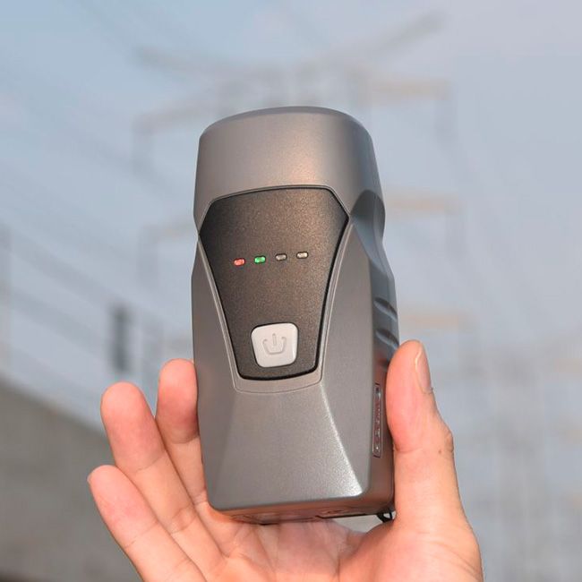
- Compact design;
- Designed for professional fieldwork.
Laser Measurement of Hard-to-Reach Points
The integrated laser technology allows users to determine the coordinates of points that are difficult or unsafe to reach with a conventional survey pole.
The receiver is ideal for measuring:
- building corners;
- building facades and walls;
- points behind fences;
- objects near trenches;
- areas with challenging terrain;
- points beneath obstacles or close to hazardous areas.
This helps reduce fieldwork time while improving operator safety.
Integrated GNSS, Laser, and IMU
Meridian ML2 combines GNSS positioning, laser measurement, and an integrated IMU into a single compact device. These technologies work seamlessly together to provide stable positioning and reliable performance under a wide range of field conditions.
IMU with Tilt Compensation
The built-in IMU enables measurements without keeping the survey pole perfectly vertical.
Tilt measurements of up to 120° are supported, making work much easier:
- next to walls and buildings;
- under trees;
- around vehicles and heavy equipment;
- in narrow passageways;
- in confined or difficult-to-access locations.
The IMU requires no complex calibration before use, allowing operators to begin work immediately while improving overall productivity.
Calibration-Free Operation
Thanks to the seamless integration of GNSS, IMU, and laser measurement algorithms, Meridian ML2 does not require routine manual calibration. Users can start working faster without spending valuable time preparing the equipment.
Support for All Major GNSS Constellations
Meridian ML2 supports multi-frequency tracking of all major global satellite navigation systems:
- GPS;
- GLONASS;
- Galileo;
- BeiDou;
- QZSS;
- SBAS.
The receiver features 1408 channels, enabling simultaneous tracking of a large number of satellite signals for reliable positioning even in challenging environments.
Built-in 4G Connectivity
Integrated 4G connectivity allows a SIM card to be installed for Internet access and receiving RTK corrections via an NTRIP network. This eliminates the need for a separate mobile hotspot or a constant Internet connection through a field controller.
Rugged IP67 Housing
Meridian ML2 is engineered for everyday professional field use.
The IP67-rated enclosure provides reliable protection against:
- dust;
- rain;
- water splashes;
- high humidity;
- temporary immersion in water.
The rugged design makes the receiver suitable for construction sites, rural environments, and demanding surveying applications.
Ideal Applications
Meridian ML2 is suitable for:
- topographic surveying;
- construction stakeout;
- cadastral surveying;
- construction surveying;
- engineering surveys;
- measuring building facades and corners;
- surveying hard-to-reach objects;
- road and infrastructure projects;
- construction quality control;
- GIS data collection.
Efficient Performance in Challenging Environments
The combination of laser technology, GNSS, and IMU significantly expands the capabilities of a traditional RTK receiver. Meridian ML2 enables users to measure points where it is impossible to keep a survey pole vertical or physically access the target, making fieldwork faster, safer, and more efficient.
Meridian ML2 — More Than a Traditional RTK Receiver
Meridian ML2 combines the accuracy of GNSS RTK positioning with the flexibility of IMU tilt compensation and the convenience of integrated laser measurement. It is a versatile solution for professionals who need to measure both standard and hard-to-reach points while reducing field time and improving safety on the job.
-
Dimensions (mm):133.5 x 63 x 56
-
Weight (kg):0.270
-
Manufacturer country:China
-
Number of channels:1408
-
Positioning horizontal accuracy:8 mm + 1 ppm
-
Positioning vertical accuracy:15 mm + 1 ppm
-
Sattelite systems:GPS: L1 C/A, L2C, L2P, L5; GLONASS: L1 C/A, L1P, L2 C/A, L2P; Galileo: E1, E5a, E5b, AltBOC; BeiDou: B1, B2, B3; BeiDou Global Signal: B1C, B2a; QZSS: L1C, L2, L5, L1C/A; IRNSS1; SBAS: WAAS, EGNOS, MSAS, GAGAN
-
Range of working temperatures:-20 °C to + 75 °C
-
Communication standard support:2G/3G/4G
-
Ingress Protection:IP67
-
Battery life:up to 12 hours
-
Tilt Compensation IMU:Yes
-
Warranty:1 year
-
Laser:Yes
-
Laser range, m:5