GNSS RTK receiver E100 IMU with SurPad 4.2 software
GNSS RTK receiver E100 IMU with SurPad 4.2 software
- Cash upon receipt
- Bank transfer
- Privat 24
- Pickup from NovaPoshta Service
- NovaPoshta Service Courier
- Pickup from the store
- Other transport services
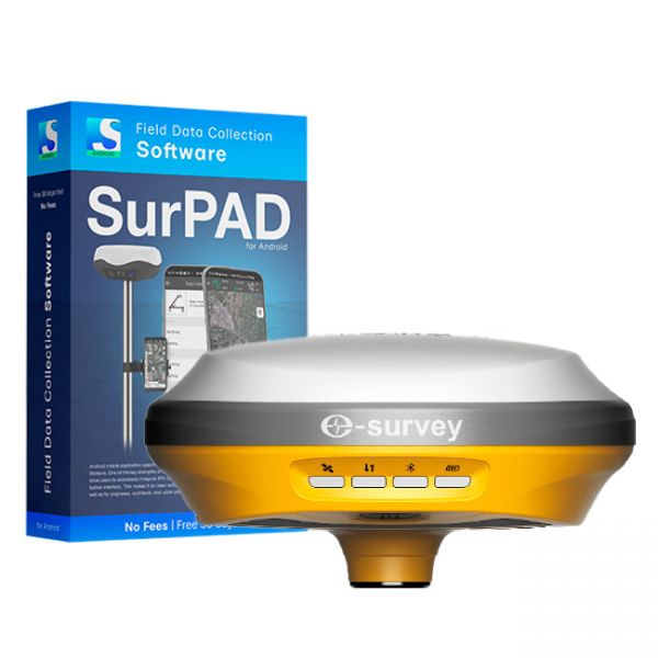
GNSS RTK eSurvey E100 receiver with SurPad 4.2 surveying software
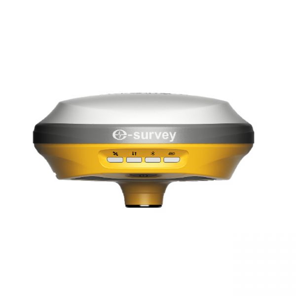
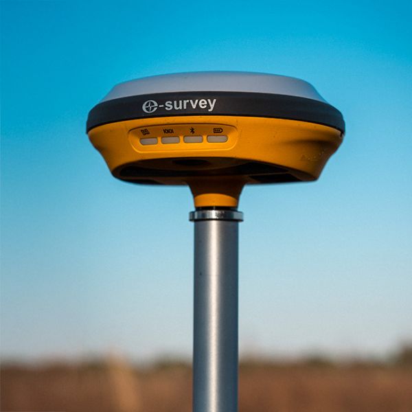
The eSurvey E100 is a high-performance network receiver designed to exceed your productivity expectations. This entry-level GNSS solution supports multiple frequencies from various satellite constellations, ensuring enhanced positioning accuracy. With its ultra-compact design, reliable RTK Aid function, and intuitive features, the E100 is an ideal rover station receiver for CORS systems.
Package Contents:
- GNSS Receiver E100
- SurPad 4.2 Surveying software for Android
- Power Supply
- USB Type-C Cable
- Spare SIM Card Cover
- Warranty Card
- Carrying Soft Bag
- Carrying Case (optional)
Compact and Lightweight Design
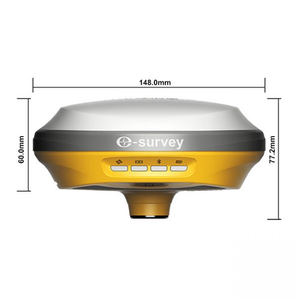
Designed for easy transportation, the eSurvey E100 is lightweight and compact, making it highly convenient for fieldwork, even in the most challenging environments. Thanks to its lightweight (only 900 grams) and compact size, the E100 receiver is convenient both during operation and when moving between points.
Intelligent Voice Alerts
Stay updated with automatic voice notifications when the solution status changes. Simply press the power button to manually broadcast the current operating mode and solution status, allowing for easy status checks during work.
Integrated 4G Modem
Thanks to the built-in modem supporting 4G SIM cards, the eSurvey E100 provides reliable network access even in remote locations. Placing the mobile network receiver together with the GNSS receiver at height ensures stable RTK corrections reception, even in areas where regular connectivity may be unstable. This allows users to work efficiently in the field without delays due to network loss.
Convenient Web Interface
Access the Web UI from any smartphone, tablet, or PC to check position status, configure working modes, download data, or update firmware. The intuitive interface simplifies management and enhances user control.
Max 60° Tilt Survey: A New Approach to Work
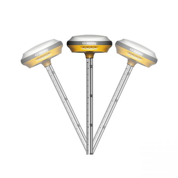
Perform measurements with up to a 60° tilt, eliminating the need to level the pole for each measurement. This feature saves time and effort, especially during stakeouts or in difficult-to-reach areas such as building corners or slopes.
Support for PPP Galileo HAS Corrections
PPP Galileo HAS is a service that provides global correction data via Galileo E6-B satellites. With PPP Galileo HAS corrections, the E100 receiver can achieve 20 cm accuracy without using a base station or the Internet.
Rugged and Durable Design
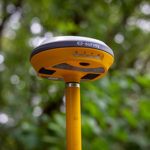
The E100’s body is made from magnesium alloy, providing excellent resistance to shocks and vibrations. IP67 certification guarantees operation in harsh environments, ensuring reliability in any conditions.
Full Compatibility with SurPad 4.2
The eSurvey E100 is fully compatible with the popular SurPad 4.2 geodetic software, making it an ideal tool for professional surveying work. The receiver easily integrates into existing workflows and offers powerful features like data processing, precise positioning, real-time documentation, and reporting. Compatibility with SurPad 4.2 simplifies fieldwork, enhancing productivity and accuracy.
Whether you’re managing large-scale land surveying tasks or working in urban environments, the eSurvey E100 delivers outstanding results with minimal effort. Boost your efficiency and achieve greater accuracy with this advanced yet affordable GNSS network receiver.
-
Dimensions (mm):148*77
-
Weight (kg):0.9
-
Manufacturer country:China
-
Accuracy:8 mm
-
Number of channels:1408
-
Positioning horizontal accuracy:8 mm + 1 ppm
-
Positioning vertical accuracy:15 mm + 1 ppm
-
Frequency:GPS: L1 C/A, L2C, L2P, L5 BeiDou: B1, B2, B3 BeiDou Global Signal: B1C, B2a, B2b GLONASS: L1 C/A, L1P, L2 C/A, L2P Galileo: E1, E5a, E5b, E6, E5 AltBOC QZSS: L1C, L2, L5, L1C/A IRNSS: L5 SBAS: WAAS, EGNOS, MSAS, GAGAN,SDCM L-Band1
-
Range of working temperatures:-30 ℃ ~ + 65℃
-
Bluetooth:5.0
-
Cold start:< 30 sec
-
Warm start:< 20 sec
-
Hot start:< 5 sec
-
RAM:8 Gb
-
Communication standard support:2G/3G/4G/WiFi
-
Ingress Protection:IP67
-
Battery life:up to 24 hours
-
Tilt Compensation IMU:Yes


