
GeoTrack Nova Agricultural Guidance Software for Android
GeoTrack Nova Agricultural Guidance Software for Android
- Online Payment
- Payment by Invoice
- Bank Transfer
- Air Mail Delivery
- Delivery via DPD
- Delivery via DHL
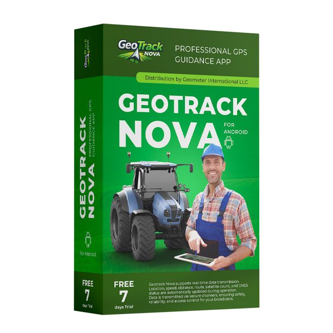
GeoTrack Nova – Professional GPS Guidance System for Android
GeoTrack Nova is a modern GPS guidance application for agriculture, designed for precise vehicle guidance on Android smartphones and tablets. It is a new generation of agricultural navigation software developed by our company.
GeoTrack Nova helps operators perform field work faster, more accurately, and with fewer overlaps. The application supports all major guidance modes required for spraying, fertilizer application, seeding, inter-row cultivation, tillage, harvesting, and many other agricultural operations.
For maximum accuracy, the application works with both standard GNSS receivers and high-precision GNSS RTK receivers, providing smooth guidance and centimeter-level positioning accuracy even in challenging field conditions.
Area Measurement
Before starting field operations, you can quickly measure the field area, define its boundaries, and immediately begin navigation. Once the measurement is complete, simply select the desired guidance mode, and the application will automatically prepare the field for operation.
"Field Side" Mode
One of the easiest ways to start working. Simply select one side of the field, and GeoTrack Nova will automatically generate a set of parallel guidance lines optimized for maximum field efficiency.
"Free Drive" Mode
Designed for work without predefined guidance lines. The application records the first pass automatically and then generates parallel guidance paths, making it easy to work even on irregularly shaped fields.
"Straight A–B" Mode
The classic high-precision guidance mode. The operator defines the start and end points of the first pass, and the system automatically creates unlimited parallel guidance lines for accurate field coverage without skips or overlaps.
"Pivot (Center Pivot)" Mode
A dedicated guidance mode for fields irrigated with Center Pivot systems. It enables accurate navigation along concentric circles for efficient field operations.
Vehicle Tracking
GeoTrack Nova can also function as a GPS tracker, continuously recording the vehicle's route. After the job is completed, the application generates detailed statistics including total distance traveled, working time, idle time, and other operational data.
Live Vehicle Monitoring
The "Share My Location" feature creates a secure live tracking link that allows managers or dispatchers to monitor machinery movement in real time.
The live view displays:
- current vehicle location;
- travel route;
- connection status (online/offline);
- number of satellites;
- GNSS solution type (Single, Float, RTK Fixed, etc.);
- HDOP value;
- additional navigation parameters.
This allows supervisors to monitor not only the machine's location but also the quality and status of the navigation system during field operations.
Fleet Monitoring
For farms operating multiple tractors or self-propelled machines, GeoTrack Nova provides a fleet monitoring mode.
Multiple vehicles can be displayed simultaneously on a single map together with their routes, current status, GNSS signal quality, and other navigation parameters. This greatly simplifies fleet coordination, task management, and field supervision.
Why Choose GeoTrack Nova?
- modern Android GPS guidance system;
- supports external GNSS and RTK receivers;
- centimeter-level accuracy with RTK;
- smooth and stable guidance;
- all popular agricultural guidance modes;
- live vehicle monitoring;
- fleet monitoring for multiple machines;
- field boundary and area measurement;
- simple and intuitive user interface;
- regular software updates and technical support.
Main Features:
- field area measurement;
- 4 parallel guidance modes;
- visualization and calculation of treated areas;
- saving and reusing measured fields;
- automatic vehicle position correction;
- "Pause" and "Resume" functions for continuing work from the last position;
- PDF reports for completed field operations;
- satellite map support;
- 3D guidance mode;
- Day/Night display mode;
- KML field import and export;
- live vehicle tracking;
- fleet monitoring;
- support for virtually any GPS, GNSS, and RTK receiver via Bluetooth;
- RTK operation with centimeter-level positioning accuracy;
- license transfer to another device.
Additional Information:
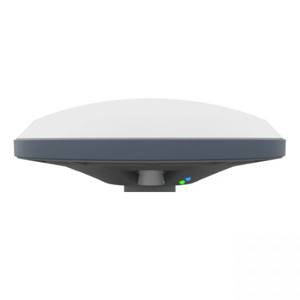
GM SMART GNSS receiver is a new generation receiver for working with any navigation programs and the ability to increase accuracy up to 1 cm. It has 335 channels to work with all available satellite systems: GPS, GLONASS, GALILEO, BEIDOU, QZSS, IRNSS, SBAS.
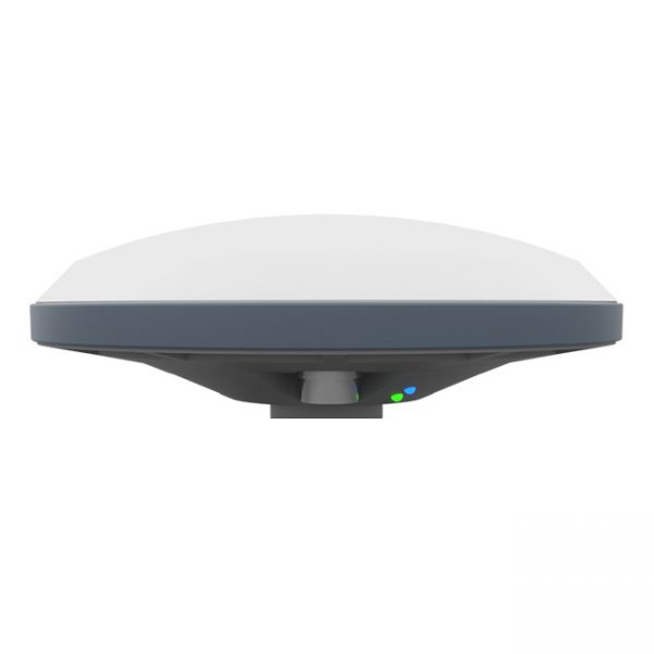
Dual-frequency GM SMART GNSS RTK receiver is a new generation receiver for working with any navigation programs and the ability to increase accuracy up to 1 cm. It has 698 channels to work with all available satellite systems: GPS, GLONASS, GALILEO, BEIDOU, QZSS, IRNSS, SBAS.