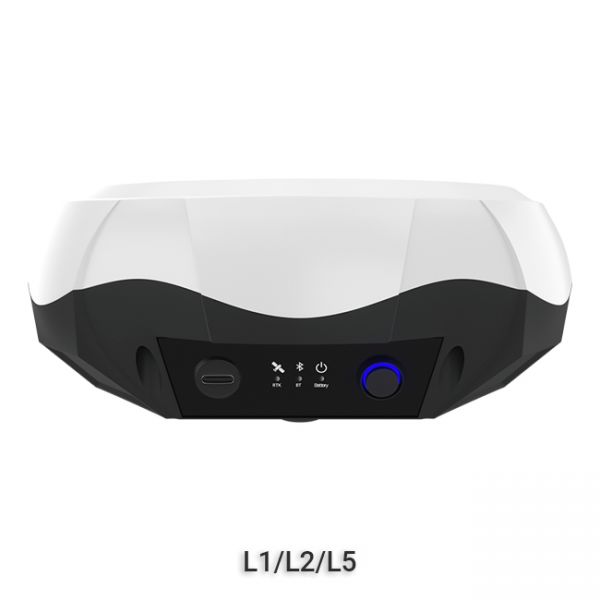
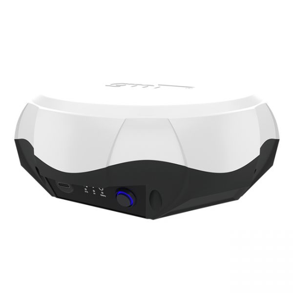
Multi-frequency GNSS RTK receiver GM PRO L
Multi-frequency GNSS RTK receiver GM PRO L
- Cash upon receipt
- Bank transfer
- Privat 24
- Pickup from NovaPoshta Service
- NovaPoshta Service Courier
- Pickup from the store
- Other transport services
Multi-frequency GNSS RTK receiver GM PRO L is a new generation receiver for professional use in surveying, agriculture, forestry and other industries where high accuracy is important. The receiver provides an accuracy of up to 4 mm horizontally and 8 mm vertically in post-processing mode, and 8 mm horizontally and 15 mm vertically in RTK mode.
❗️❗️❗️To obtain centimeter accuracy, you need to use RTK corrections.
GM PRO mini Series
The receiver has 965 channels for communication with satellites and works with all satellite systems and frequencies:
- GPS: L1 C/A, L2C, L2P, L5
- GLONASS: L1 C/A, L1P, L2 C/A, L2P
- Galileo: E1, E5a, E5b, E6-b*
- BeiDou: B1, B2, B3
- BeiDou Global Signal: B1C, B2a, B2b
- QZSS, IRNSS
- L- Band
- SBAS: WAAS, EGNOS, MSAS, GAGAN, SDCM
The "GM PRO L" receiver has a very precisely calibrated geodesic antenna, which provides high and stable accuracy both horizontally and vertically. The receiver has a standard 5/8" thread, compatible with any geodetic poles, tripods and other accessories. The receiver is powered by 5V and can be recharged from any power bank.
The GNSS RTK receiver "GM PRO L" can work with centimeter accuracy from any correction network via the Internet (RTCM 2.X, 3.X, CMR, CMR+ protocols) and from its own base station. The distance to the base station can be more than 50 km. The receiver has built-in Bluetooth for connecting to any compatible applications.
Kit of equipment:
- GNSS receiver "GM PRO L"
- Charging cable
- Cardboard packaging
- Carrying case (optional)
The multi-frequency GNSS receiver "GM PRO L" is ideal for any operation:
- absolute-precision positioning
- staking out
- cadastral works
- high-precision mapping
-
Dimensions (mm):158х60
-
Weight (kg):0.59 kg
-
Manufacturer country:Ukraine
-
Accuracy:8 mm
-
GNSS receiver type:GM PRO mini
-
Brand:geometer
-
Number of channels:965
-
Positioning horizontal accuracy:8 mm + 1 ppm
-
Positioning vertical accuracy:15 mm + 1 ppm
-
Sattelite systems:GPS, GLONASS, GALILEO, BEIDOU, QZSS, IRNSS
-
Frequency:1-10 Hz
-
Range of working temperatures:-20°C to + 85°C
-
Bluetooth:4.2
-
Cold start:< 60 sec
-
Warm start:< 15 sec
-
Hot start:< 10 sec
-
Ingress Protection:IP67
-
Battery life:up to 15 hours
-
Tilt Compensation IMU:No
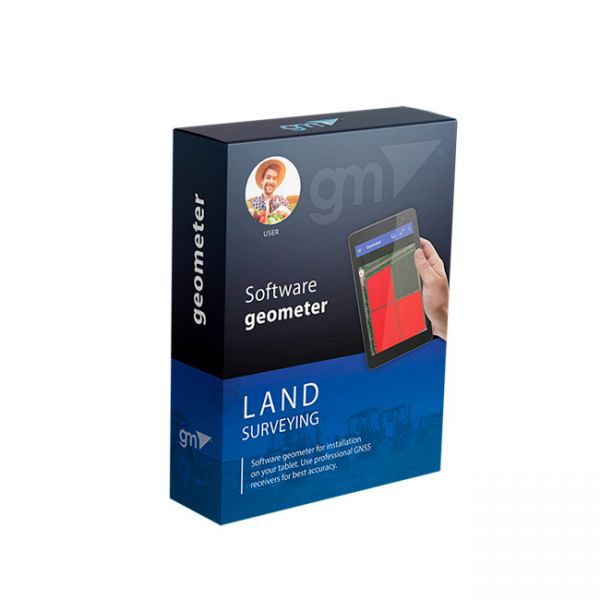
Agricultural mobile application geometer SCOUT for Android smartphone or tablet. A low-cost solution that will allow you to carry out area measurement of any shape, measure distances, create electronic maps, staking-out, land surveying, cutting out unproductive areas (holes) and many other operations.
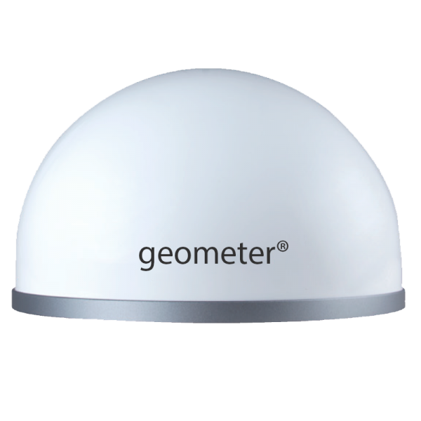
Professional GNSS RTK base station based on a multi-frequency board, has 965 channels and processes signals from GPS, GLONASS, GALILEO, BEIDOU satellite systems.
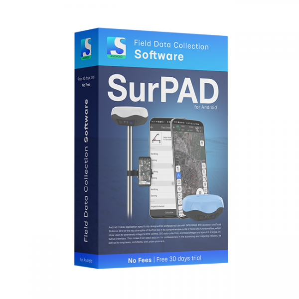
SurPAD 4.2 Android software is a low-cost solution that will allow you to carry out professional geodetic services, work with points, measure distances, create electronic maps, stake-out, survey.


