3D excavator grade control system FJ Dynamics
3D excavator grade control system FJ Dynamics
- Pago en línea
- Pago mediante factura
- Transferencia bancaria
- Entrega por correo aéreo
- Entrega con DPD
- Entrega con DHL
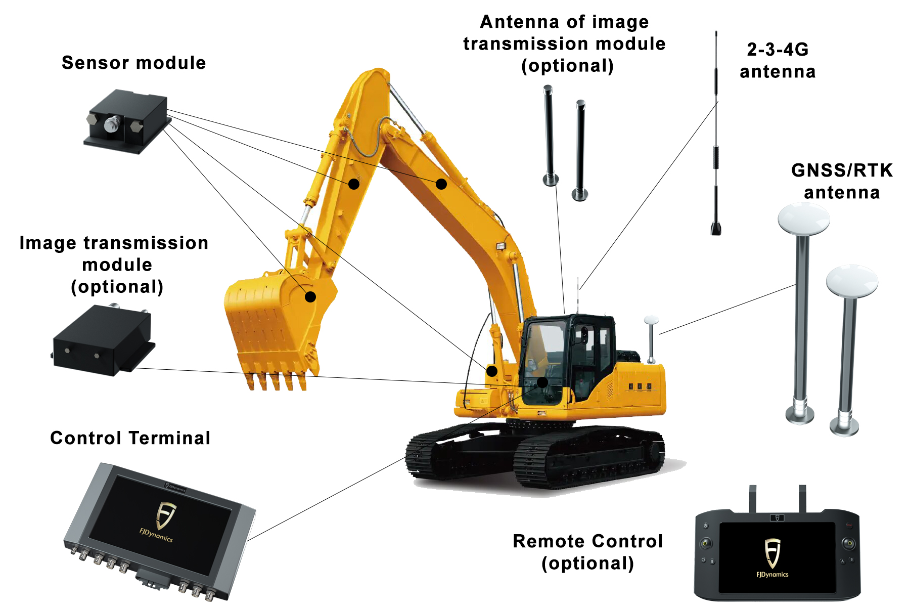
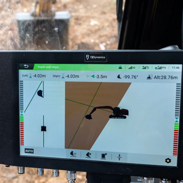
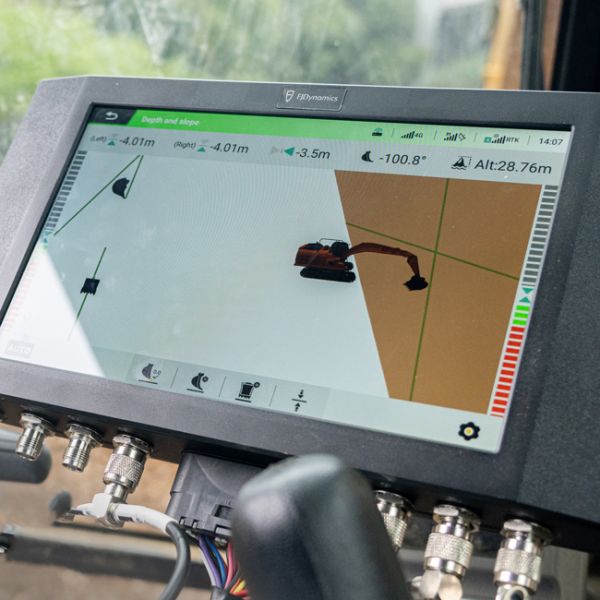
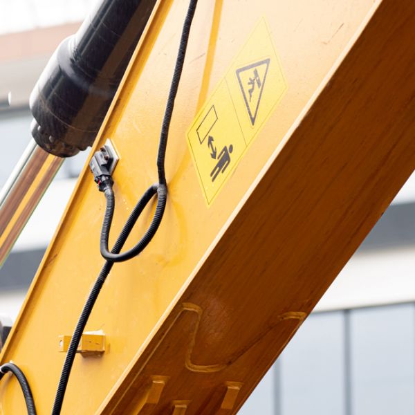
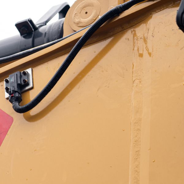
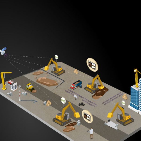
3D leveling system for excavators with high-precision real-time satellite positioning (RTK) and sensor modules on each boom arm.
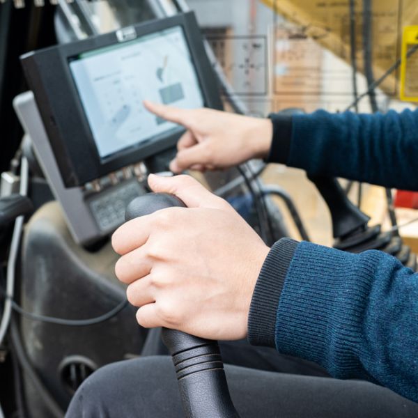
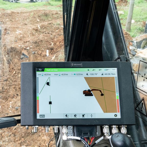
The principle of operation is based on reading information from all slope sensors located on the excavator boom, based on pre-calibrated parameters of the main axis of the machine. The operator instantly receives three-dimensional information about the position of the bucket in real time on the terminal. The GNSS receiver gives the exact coordinates of the machine in global space. Due to 2 GNSS antennas as part of the system, the operator simultaneously receives coordinates on the plane and data on the depth of the treated area.
- The system displays the depth of the design mark and the working slope;
- It is used for work on backhoe excavators, including those with an articulated boom and a leveling bucket;
- Provides work under conditions in which the bucket is not visible (in water and deep trenches);
- Possibility of using the excavator as a measuring tool;
- Bucket positioning accuracy up to 3 cm in height and 0.1% in slope;
- Several operating modes: depth, depth and slope, profile, measurement mode, excavator leveling mode.
Applications:
- Construction
- Transport infrastructure
- Careers
- Garbage dumps
- Construction of dams and reservoirs
Key features:
Accuracy ± 3 cm
3D visual control
HMI platform
Warning E-Fence
Resume work from a stop point
Remote control and unmanned mode
Adaptive learning algorithm
Online support and OTA
Equipment:
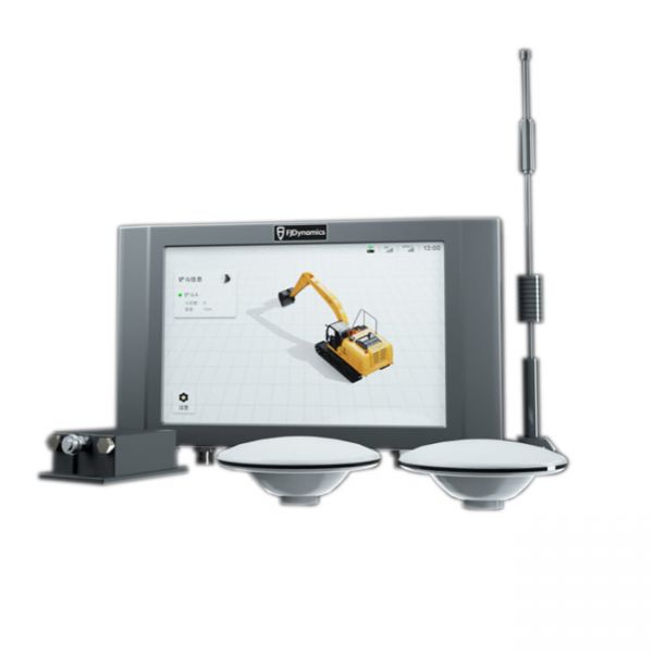
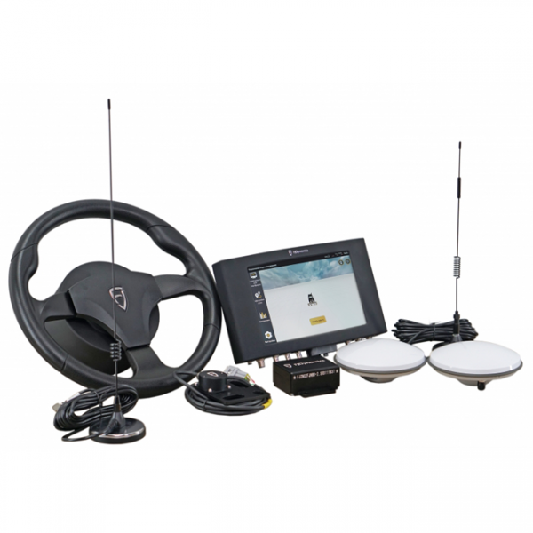
- Screen 10,1" with internal GSM modem and software
- Tilt sensor modules
- 2, 3, 4G antenna
- RTK/GNSS antennas
- Remote control
- Data and image transmission module (optional)
- Data and image module antennas (optional)
Static accuracy:
Auxiliary operation accuracy:
Support for any type of machinery:
- Excavators
- Bulldozers
- Graders
- Cranes
-
Dimensiones (mm):300 х 190 х 43
-
País productor:La China
-
Precisión:3 cm
-
Tamaño de la pantalla:10,1 pulgadas (25,65 cm)
-
Tipo de receptor GNSS:RTK
-
Productor:FJ Dynamics
-
Frecuencia:GPS L1 / L2, GLONASS L1 / L2, BDS B1 / B2 / B3
-
Temperatura de funcionamiento:-30℃ - +70℃
-
Grado de protección IP:IP65
A complete set of automatic steering system, which could be installed on agricultural machinery of any manufacturer. Excellent equipment, which has everything you need. The brand and model of the tractor does not matter, because the kit has everything you need to install on any agricultural machinery. Accuracy of 2.5 cm when working from a base station, or from any RTK CORS provider.
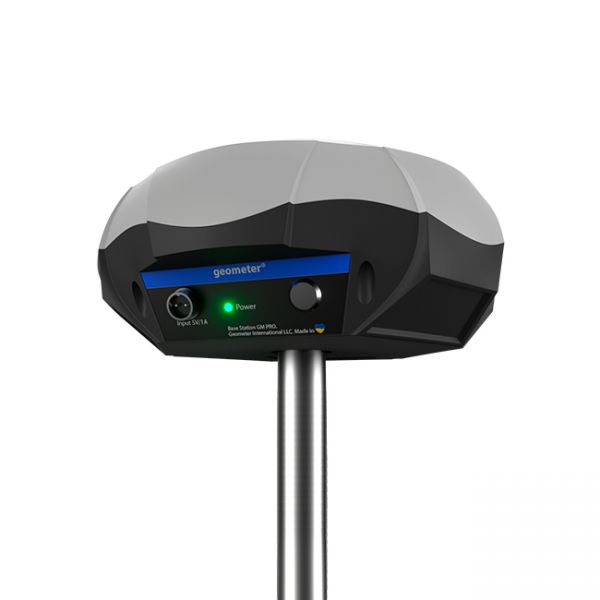
Estación base RTK basada en receptor GNSS L1, L2, L5 de multifrecuencia.
El paquete básico para trabajar en la red GNSS en tiempo real (RTK) durante 12 meses. Incluye funciones de trabajo desde una sola estación base - "NEAREST" y soluciones de red - Automax, I-Max, VRS.





Br Tomi Juselius
Price in euros?
+358 44 9787352